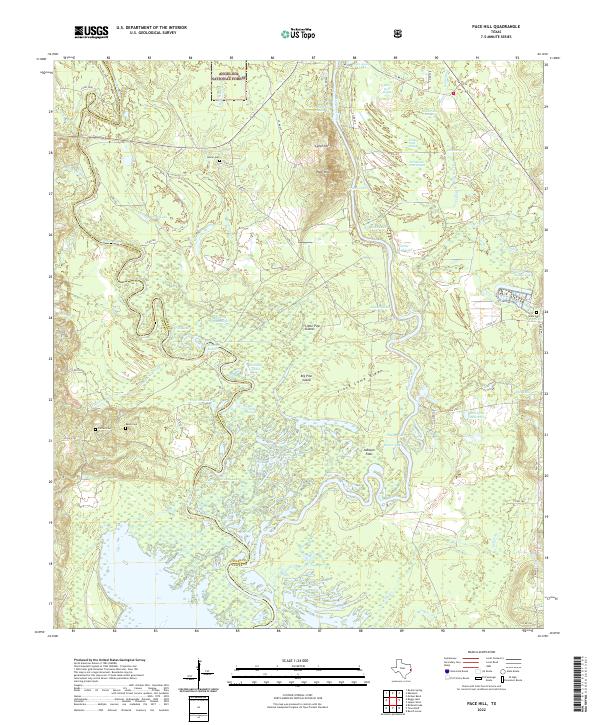
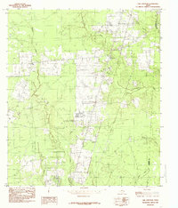
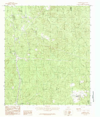
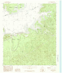
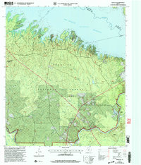
2022 Map of Pace Hill
USGS Topo · Published 2022About this map
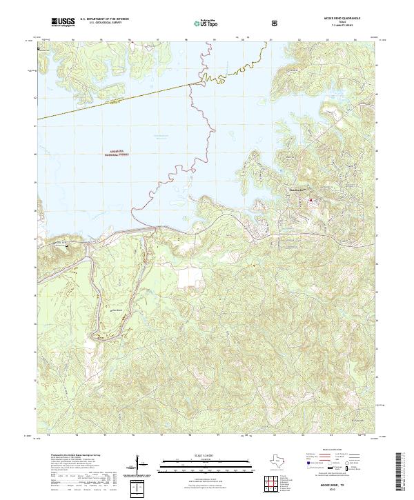
The confluence of the Neches River and Angelina River dominates this landscape along the border of Tyler and Jasper Counties. This riverine environment is defined by a dense network of sloughs, swamps, and oxbows, including Bee Tree Swamp and Old River Lakes. Within this bottomland, the map identifies significant landforms like Big Pine Island and Little Pine Island, which rise above the flood-prone surrounding flats.
Find a feature on this map
83 named features on this map. Tap any name to fly to it.
Don’t see what you’re looking for? This feature index may not catch every label — zoom into the map to look around manually.
Map Details
Editions of this 2022 Pace Hill Map
This is the sole edition of this map. No revisions or reprints were ever made.
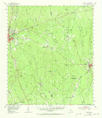
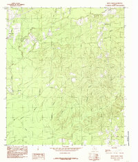
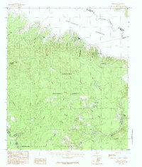
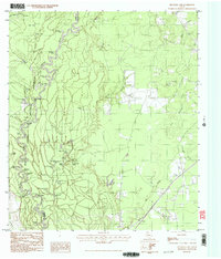
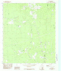
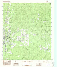
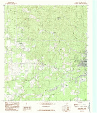
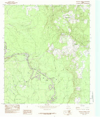
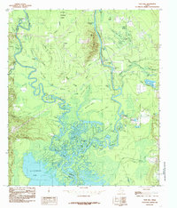
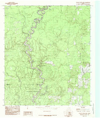
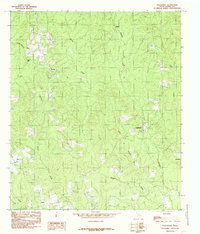
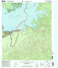
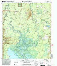
Historical Maps of Fox Landing Through Time
31 maps found
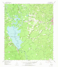
1955 Curtis
Jasper County, TX
1955 Roganville
Jasper County, TX
1984 Beech Grove
Jasper County, TX
1984 Call Junction
Jasper County, TX
1984 Ebenezer
Jasper County, TX
1984 Franklin Lake
Jasper County, TX
1984 Gist
Jasper County, TX
1984 Harrisburg
Jasper County, TX
1984 Jasper East
Jasper County, TX
1984 Jasper West
Jasper County, TX
1984 Magnolia Springs
Jasper County, TX
1984 McGee Bend
Jasper County, TX
1984 Pace Hill
Jasper County, TX
1984 Potato Patch Lake
Jasper County, TX
1984 Roganville
Jasper County, TX
2003 Ebenezer
Jasper County, TX
2003 McGee Bend
Jasper County, TX
2003 Pace Hill
Jasper County, TX
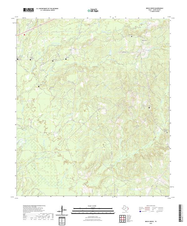
2022 Beech Grove
Jasper County, TX
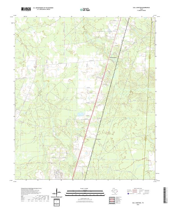
2022 Call Junction
Jasper County, TX
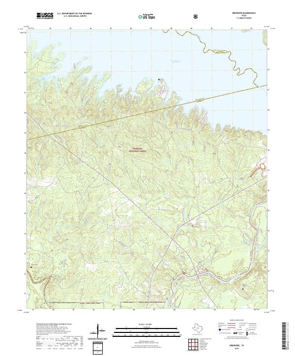
2022 Ebenezer
Jasper County, TX
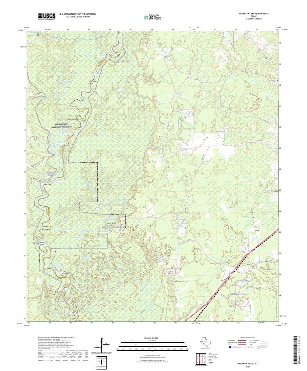
2022 Franklin Lake
Jasper County, TX
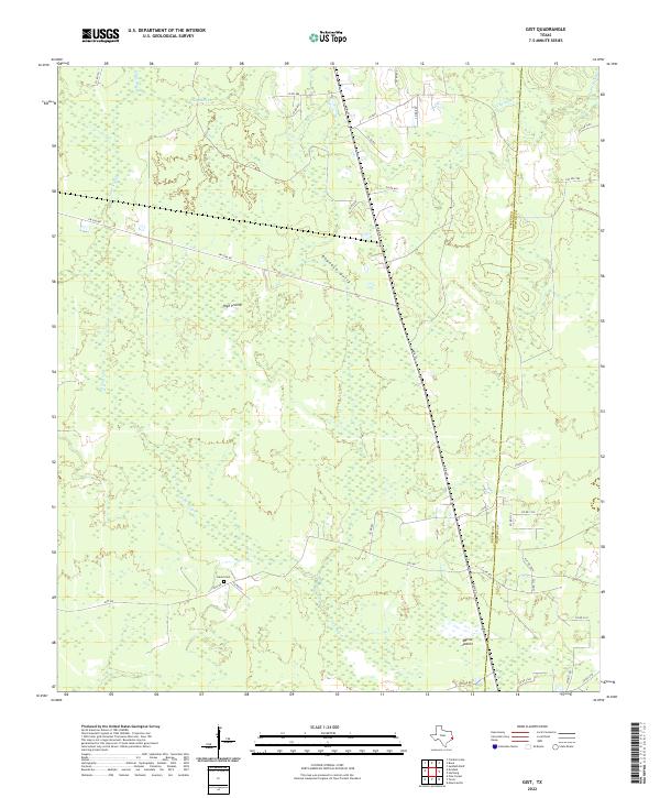
2022 Gist
Jasper County, TX
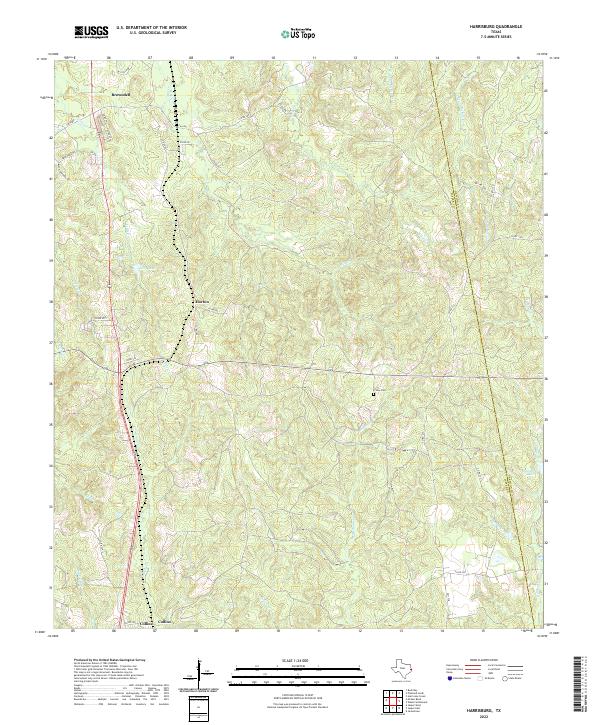
2022 Harrisburg
Jasper County, TX
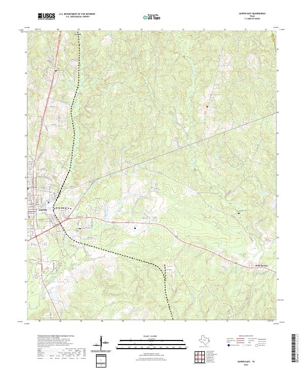
2022 Jasper East
Jasper County, TX
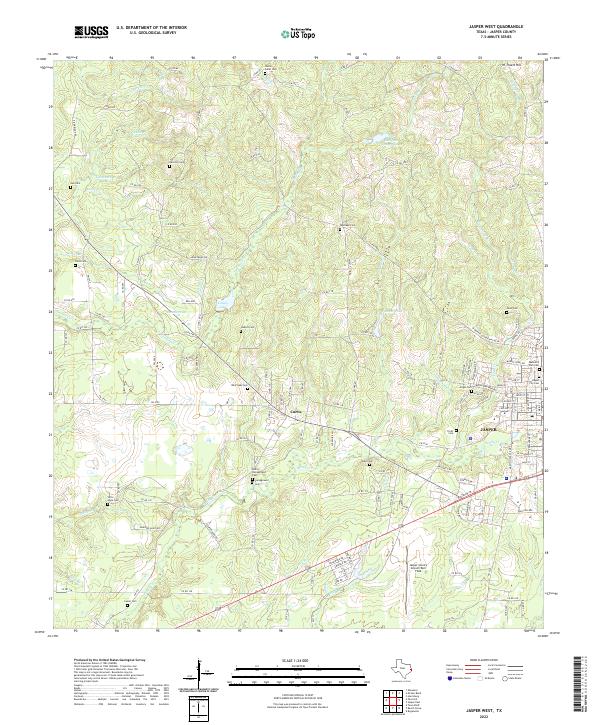
2022 Jasper West
Jasper County, TX
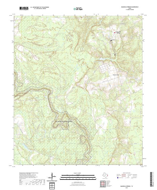
2022 Magnolia Springs
Jasper County, TX
2022 McGee Bend
Jasper County, TX
2022 Pace Hill
Jasper County, TX
2022 Roganville
Jasper County, TX
2022 Tater Patch Lake
Jasper County, TX