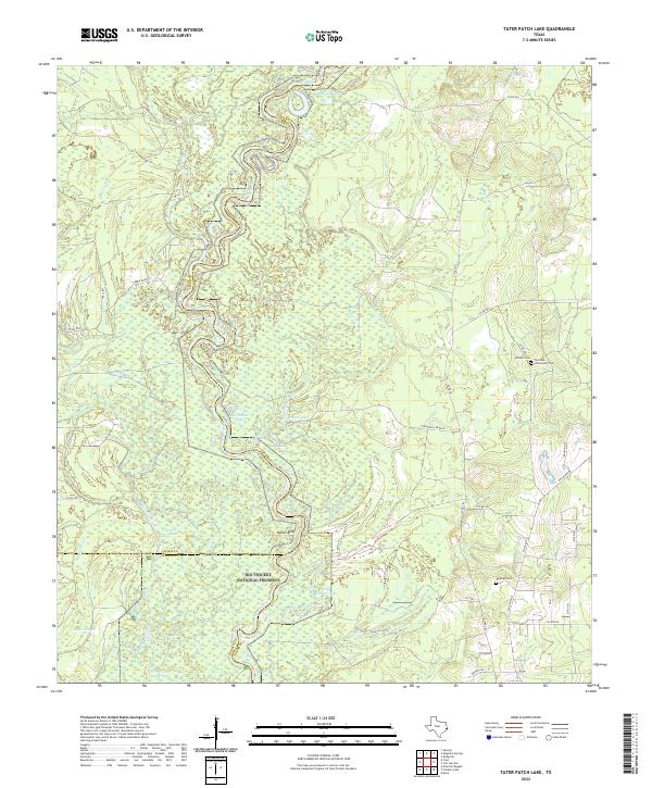
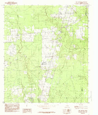
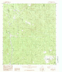
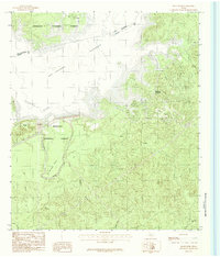
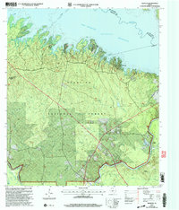
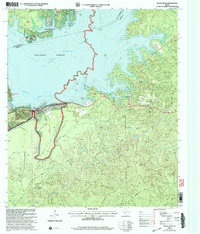
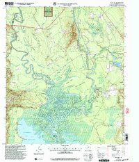
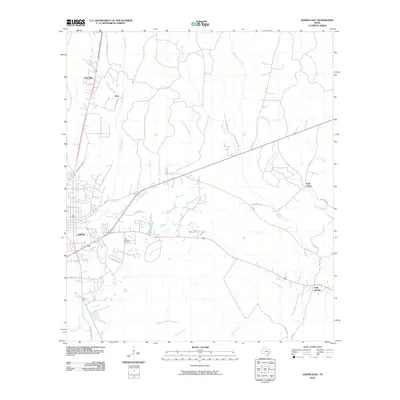
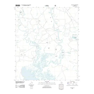
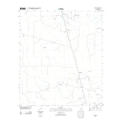
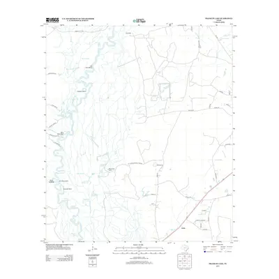
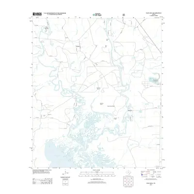
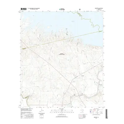
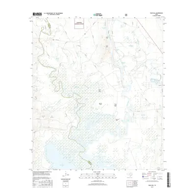
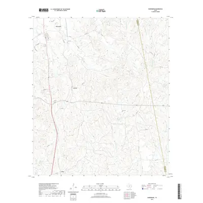
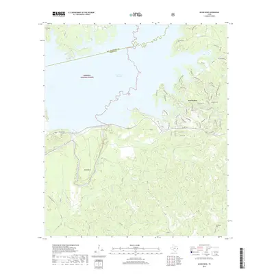
2022 Map of Tater Patch Lake
USGS Topo · Published 2022About this map
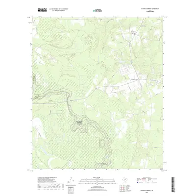
The Neches River serpentines through a dense network of oxbow lakes and bottomlands at the convergence of Jasper, Tyler, and Hardin Counties. This landscape is defined by its riparian hydrology, where named water bodies like Horseshoe Lake, Morgan Lake, and Sally Withers Lake mark the former paths of the shifting river channel. Much of the southern portion of the quadrangle is protected within the Big Thicket National Preserve, preserving the complex ecosystem of sloughs and breaks including Maple Slough and Briar Cane Break Lake.
Find a feature on this map
41 named features on this map. Tap any name to fly to it.
Don’t see what you’re looking for? This feature index may not catch every label — zoom into the map to look around manually.
Map Details
Editions of this 2022 Tater Patch Lake Map
This is the sole edition of this map. No revisions or reprints were ever made.
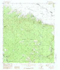
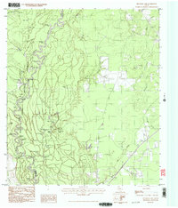
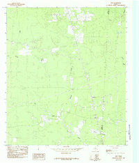
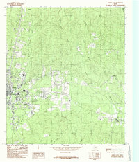
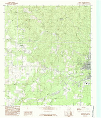
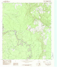
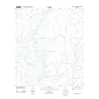
Historical Maps of Hardin County Through Time
83 maps found
1955 Curtis
Jasper County, TX
1955 Roganville
Jasper County, TX
1984 Beech Grove
Jasper County, TX
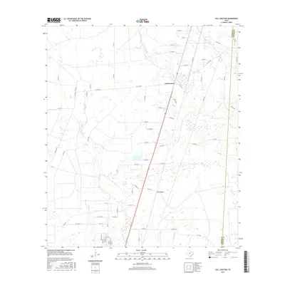
1984 Call Junction
Jasper County, TX
1984 Ebenezer
Jasper County, TX
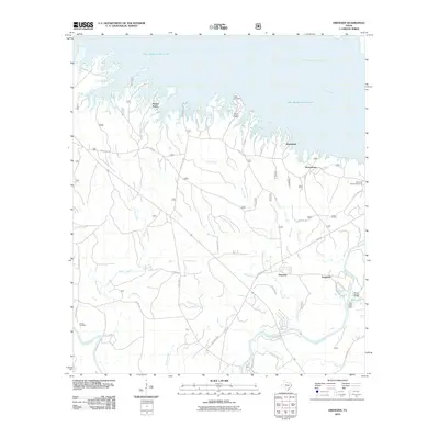
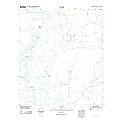
1984 Franklin Lake
Jasper County, TX
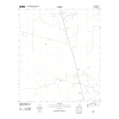
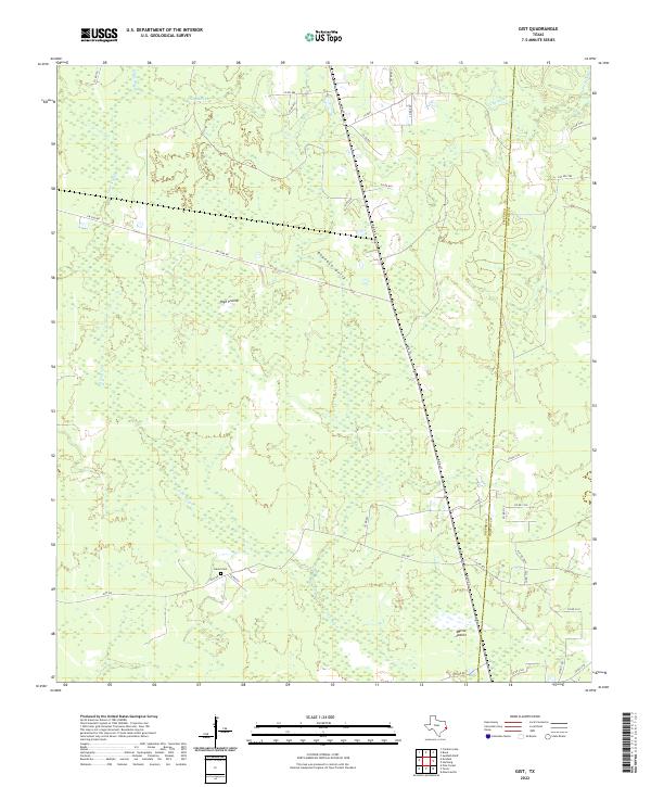
1984 Gist
Jasper County, TX
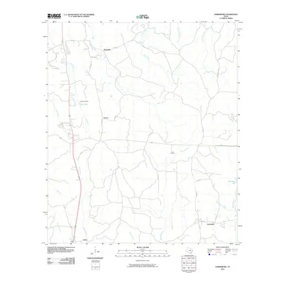
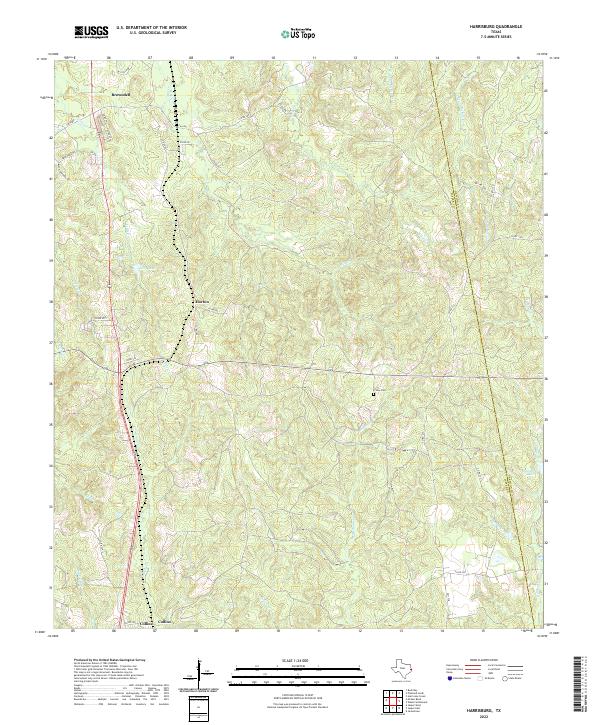
1984 Harrisburg
Jasper County, TX
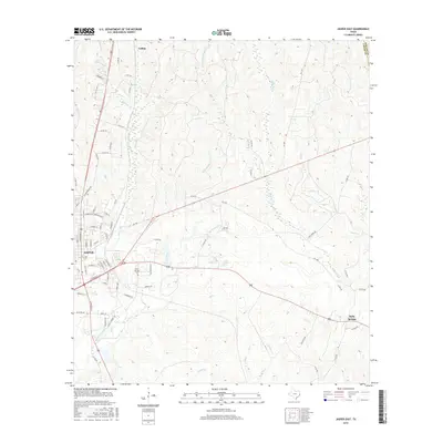
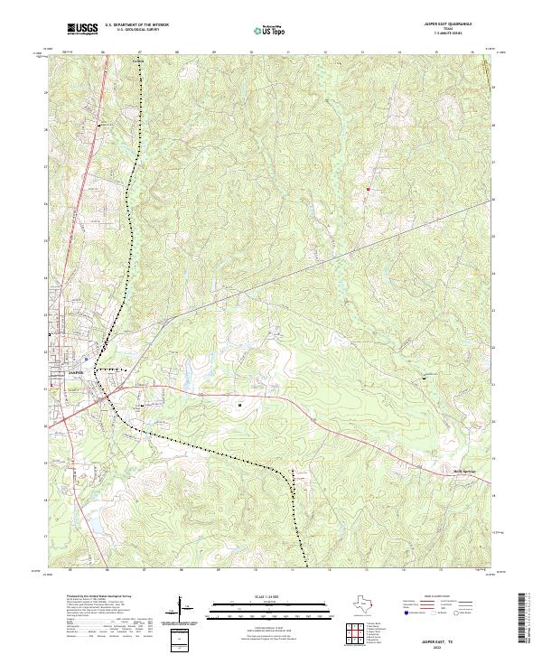
1984 Jasper East
Jasper County, TX
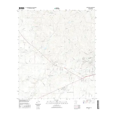
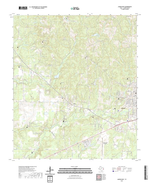
1984 Jasper West
Jasper County, TX
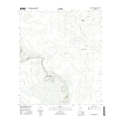
1984 Magnolia Springs
Jasper County, TX
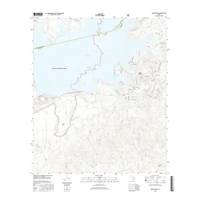
1984 McGee Bend
Jasper County, TX
1984 Pace Hill
Jasper County, TX
1984 Potato Patch Lake
Jasper County, TX
1984 Roganville
Jasper County, TX
2003 Ebenezer
Jasper County, TX
2003 McGee Bend
Jasper County, TX
2003 Pace Hill
Jasper County, TX

2010 Beech Grove
Jasper County, TX
2010 Call Junction
Jasper County, TX
2010 Ebenezer
Jasper County, TX
2010 Franklin Lake
Jasper County, TX
2010 Gist
Jasper County, TX
2010 Harrisburg
Jasper County, TX
2010 Jasper East
Jasper County, TX
2010 Jasper West
Jasper County, TX
2010 Magnolia Springs
Jasper County, TX
2010 McGee Bend
Jasper County, TX
2010 Pace Hill
Jasper County, TX
2010 Roganville
Jasper County, TX
2010 Tater Patch Lake
Jasper County, TX
2012 Call Junction
Jasper County, TX
2012 Gist
Jasper County, TX
2012 Harrisburg
Jasper County, TX
2012 Jasper East
Jasper County, TX

2012 Roganville
Jasper County, TX

2013 Beech Grove
Jasper County, TX
2013 Ebenezer
Jasper County, TX
2013 Franklin Lake
Jasper County, TX
2013 Jasper West
Jasper County, TX
2013 Magnolia Springs
Jasper County, TX
2013 McGee Bend
Jasper County, TX
2013 Pace Hill
Jasper County, TX
2013 Tater Patch Lake
Jasper County, TX
2016 Beech Grove
Jasper County, TX
2016 Call Junction
Jasper County, TX
2016 Ebenezer
Jasper County, TX
2016 Franklin Lake
Jasper County, TX
2016 Gist
Jasper County, TX
2016 Harrisburg
Jasper County, TX
2016 Jasper East
Jasper County, TX
2016 Jasper West
Jasper County, TX
2016 Magnolia Springs
Jasper County, TX
2016 McGee Bend
Jasper County, TX
2016 Pace Hill
Jasper County, TX
2016 Roganville
Jasper County, TX
2016 Tater Patch Lake
Jasper County, TX
2019 Beech Grove
Jasper County, TX
2019 Call Junction
Jasper County, TX
2019 Ebenezer
Jasper County, TX
2019 Franklin Lake
Jasper County, TX
2019 Gist
Jasper County, TX
2019 Harrisburg
Jasper County, TX
2019 Jasper East
Jasper County, TX
2019 Jasper West
Jasper County, TX
2019 Magnolia Springs
Jasper County, TX
2019 McGee Bend
Jasper County, TX
2019 Pace Hill
Jasper County, TX
2019 Roganville
Jasper County, TX
2019 Tater Patch Lake
Jasper County, TX
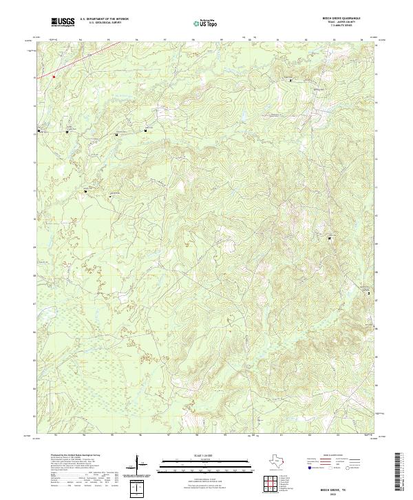
2022 Beech Grove
Jasper County, TX
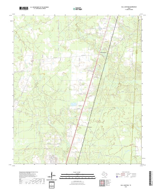
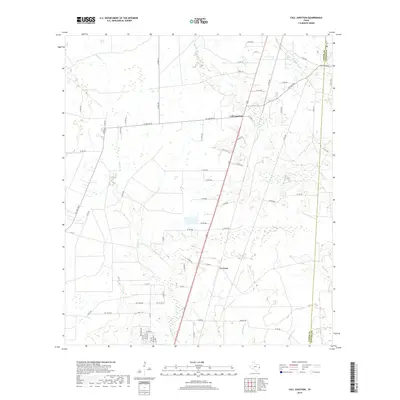
2022 Call Junction
Jasper County, TX
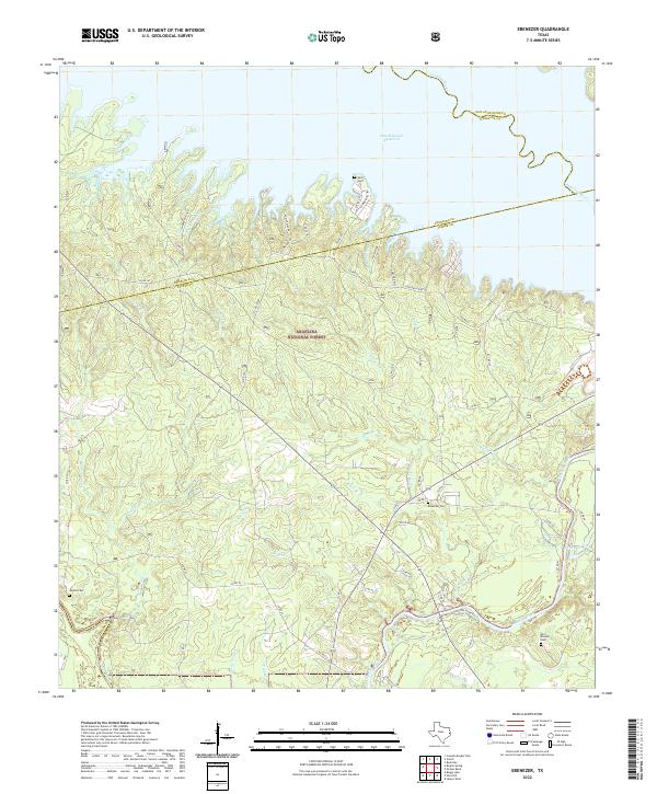
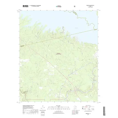
2022 Ebenezer
Jasper County, TX
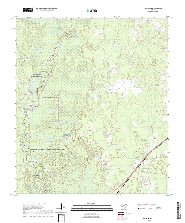
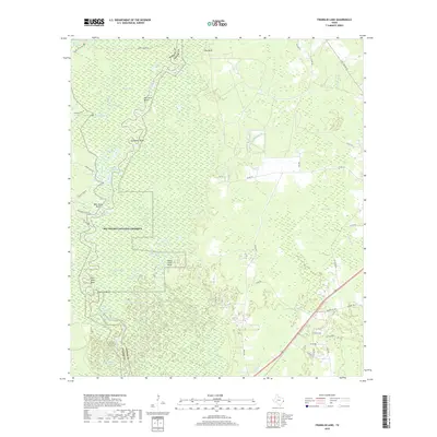
2022 Franklin Lake
Jasper County, TX
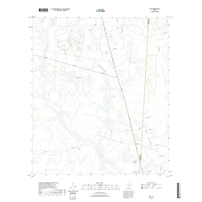
2022 Gist
Jasper County, TX
2022 Harrisburg
Jasper County, TX
2022 Jasper East
Jasper County, TX
2022 Jasper West
Jasper County, TX
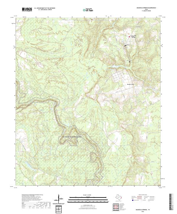
2022 Magnolia Springs
Jasper County, TX
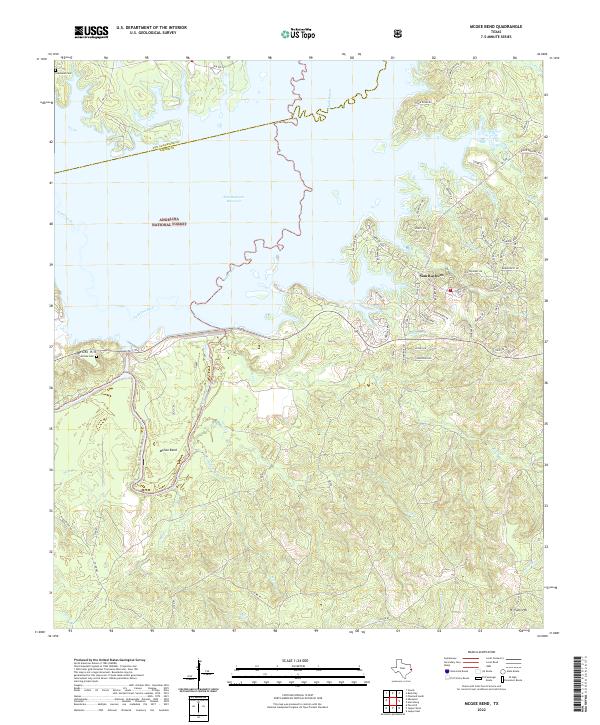
2022 McGee Bend
Jasper County, TX
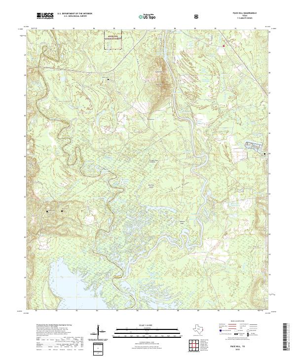
2022 Pace Hill
Jasper County, TX
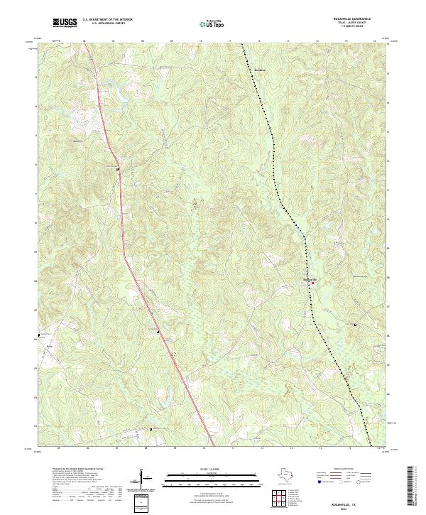
2022 Roganville
Jasper County, TX
2022 Tater Patch Lake
Jasper County, TX