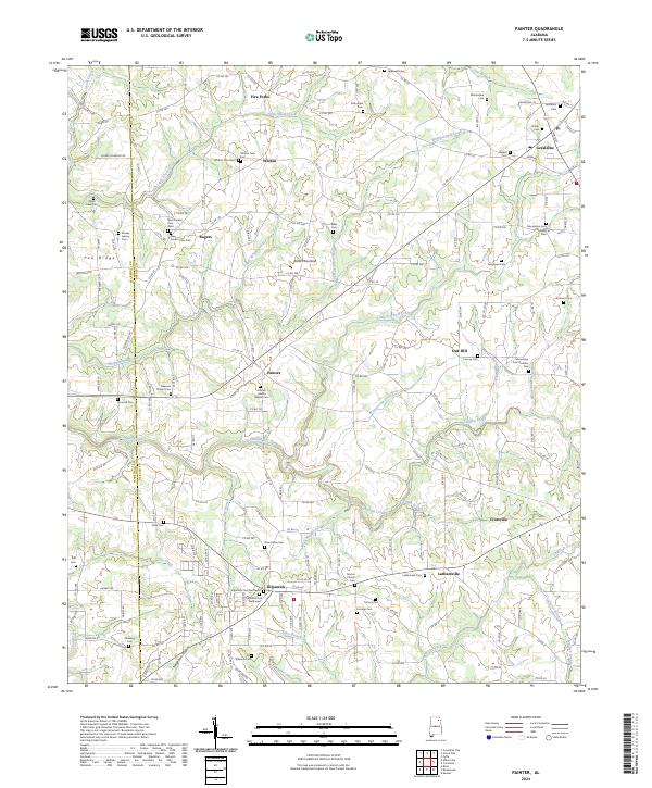
2024 Map of Painter
USGS Topo · Published 2024About this map
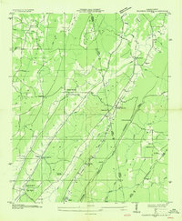
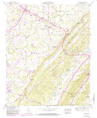
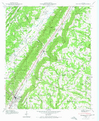
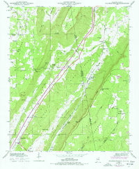
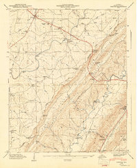
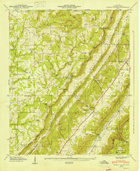
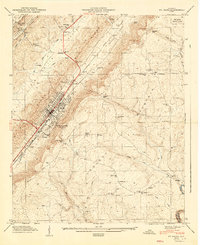
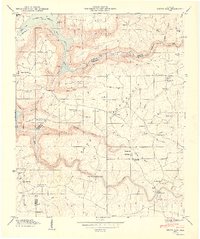
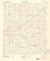
Sand Mountain dominates the landscape of this DeKalb County survey, where a high concentration of cemeteries and small communities reflects a long-settled agrarian history. Central to this map is Painter, characterized by the Painter Liberty Baptist Cem and Freeman Chapel Cem, while the town of Geraldine occupies the northeastern corner. The area is defined by a dense network of country roads and numerous waterways, including Whippoorwill Creek and Scarham Creek, which carve through the plateau.
Find a feature on this map
189 named features on this map. Tap any name to fly to it.
Don’t see what you’re looking for? This feature index may not catch every label — zoom into the map to look around manually.
Map Details
Editions of this 2024 Painter Map
This is the sole edition of this map. No revisions or reprints were ever made.
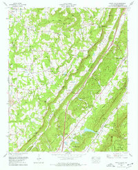
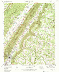
Historical Maps of Oak Hill Through Time
28 maps found
1936 Chavies
DeKalb County, AL

1936 Dugout Valley
DeKalb County, AL
1936 Grove Oak
DeKalb County, AL

1936 Little Falls
DeKalb County, AL
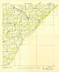
1936 Painter
DeKalb County, AL
1936 Sulphur Springs
DeKalb County, AL
1946 Chavies
DeKalb County, AL
1946 Dugout Valley
DeKalb County, AL
1946 Grove Oak
DeKalb County, AL
1946 Portersville
DeKalb County, AL
1946 Sulphur Springs
DeKalb County, AL
1947 Chavies
DeKalb County, AL
1947 Dugout Valley
DeKalb County, AL
1947 Ft Payne
DeKalb County, AL
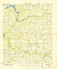
1947 Painter
DeKalb County, AL
1947 Portersville
DeKalb County, AL
1947 Sulphur Springs
DeKalb County, AL
1949 Grove Oak
DeKalb County, AL
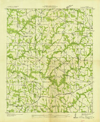
1949 Painter
DeKalb County, AL
1975 Dugout Valley
DeKalb County, AL
1975 Portersville
DeKalb County, AL
1982 Sulphur Springs
DeKalb County, AL
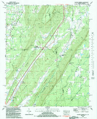
2024 Chavies
DeKalb County, AL
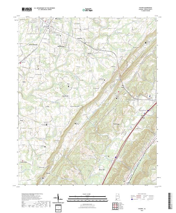
2024 Dugout Valley
DeKalb County, AL
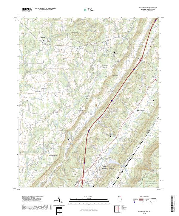
2024 Grove Oak
DeKalb County, AL
2024 Painter
DeKalb County, AL
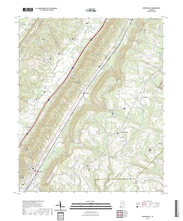
2024 Portersville
DeKalb County, AL
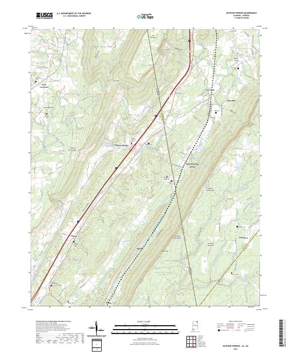
2024 Sulphur Springs
DeKalb County, AL