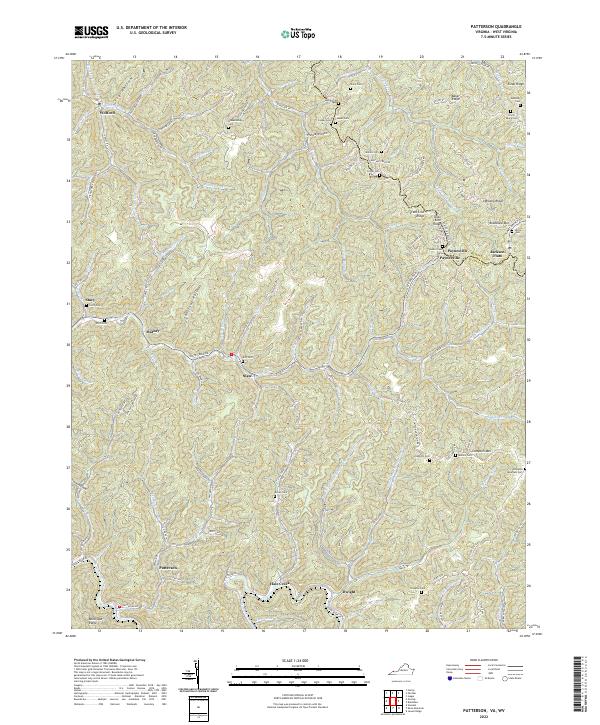
2022 Map of Patterson
USGS Topo · Published 2022About this map
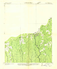
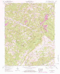
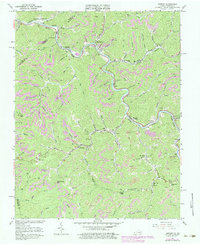
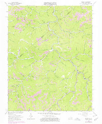
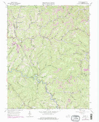
Dismal River carves through the coal-rich high country of Buchanan Co, Virginia, and McDowell Co, West Virginia, on this modern topographic study. The landscape is defined by its deep hollows and narrow ridges, such as State Line Ridge and Compton Mtn, which separate small communities established along the winding valley floors. This area remains a place of deep family history, evidenced by the numerous small family burial grounds scattered across the terrain, including Irvin Payne Cem, Stacy Cem, and Mullins Cem.
Find a feature on this map
125 named features on this map. Tap any name to fly to it.
Don’t see what you’re looking for? This feature index may not catch every label — zoom into the map to look around manually.
Map Details
Editions of this 2022 Patterson Map
This is the sole edition of this map. No revisions or reprints were ever made.
Historical Maps of Jackson Flats Through Time
22 maps found

1914 Bucu
Buchanan County, VA

1914 Hurley
Buchanan County, VA
1915 Hurley
Buchanan County, VA

1916 Bucu
Buchanan County, VA
1917 Hurley
Buchanan County, VA
1935 Big A Mountain
Buchanan County, VA
1935 Jewell
Buchanan County, VA
1935 Pistol Gap
Buchanan County, VA
1954 Harman
Buchanan County, VA
1954 Hurley
Buchanan County, VA
1958 Big A Mountain
Buchanan County, VA
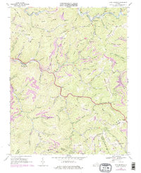
1963 Harman
Buchanan County, VA
1963 Hurley
Buchanan County, VA
1963 Prater
Buchanan County, VA
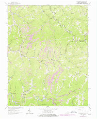
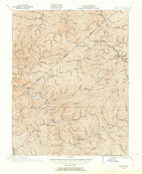
1964 Patterson
Buchanan County, VA
1968 Keen Mountain
Buchanan County, VA
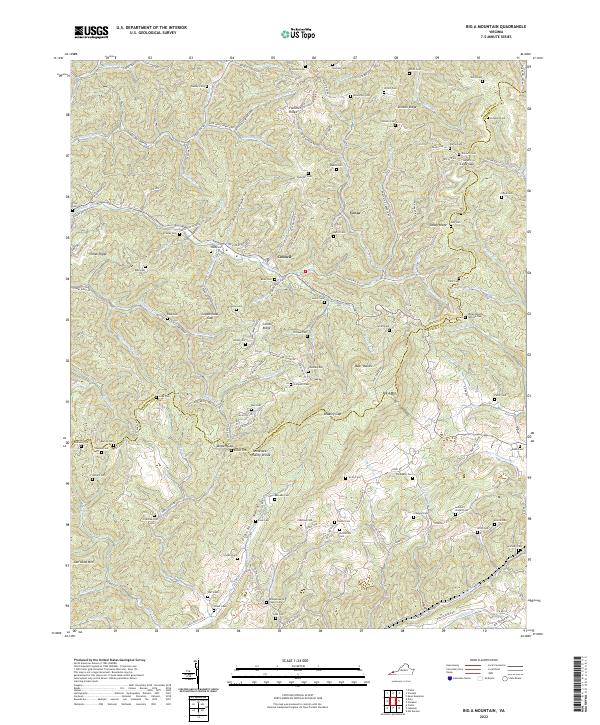
2022 Big A Mountain
Buchanan County, VA
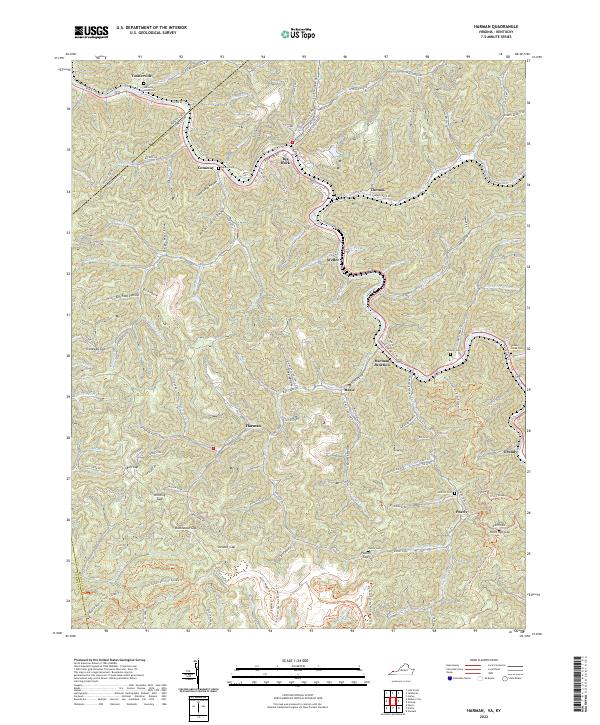
2022 Harman
Buchanan County, VA
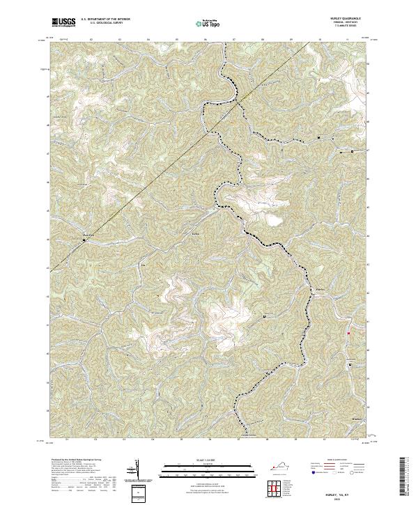
2022 Hurley
Buchanan County, VA
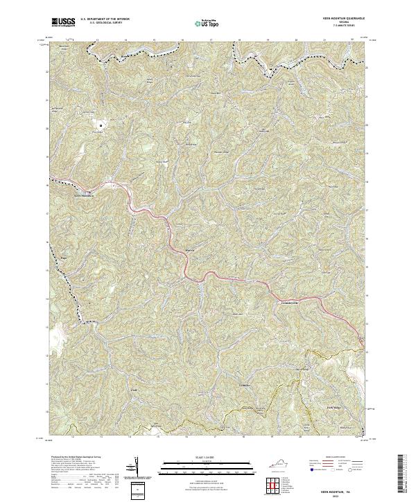
2022 Keen Mountain
Buchanan County, VA
2022 Patterson
Buchanan County, VA
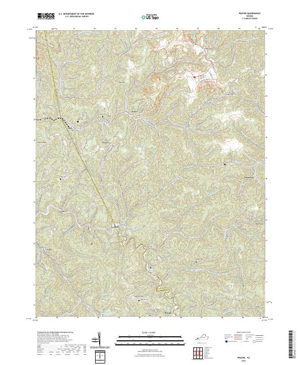
2022 Prater
Buchanan County, VA