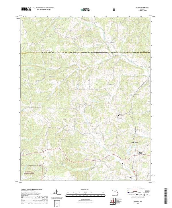
2021 Map of Patton
USGS Topo · Published 2021About this map
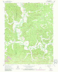
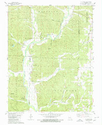
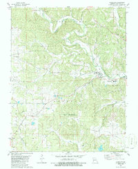
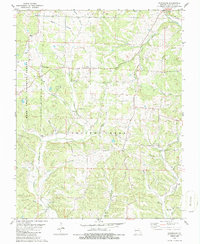
The rolling landscape of northern Bollinger County is defined by its small crossroads settlements and family-linked landmarks. Patton and North Patton anchor the southeastern corner of this map, joined by Patton Junction where rural routes converge. This area is heavily influenced by the drainage patterns of the Little Whitewater Cr and Upper Whitewater Cr, which carve through the terrain alongside numerous hollows such as Martin Hollow.
Find a feature on this map
66 named features on this map. Tap any name to fly to it.
Don’t see what you’re looking for? This feature index may not catch every label — zoom into the map to look around manually.
Map Details
Editions of this 2021 Patton Map
This is the sole edition of this map. No revisions or reprints were ever made.
Historical Maps of Yount Through Time
19 maps found

1959 Patton
Bollinger County, MO
1963 Dongola
Bollinger County, MO
1963 Gipsy
Bollinger County, MO
1963 Sturdivant
Bollinger County, MO
1964 Gipsy
Bollinger County, MO
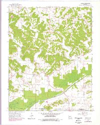
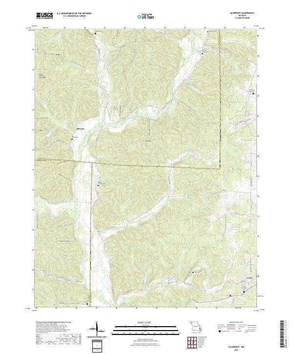
1980 Allbright
Bollinger County, MO
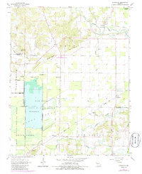
1980 Glenallen
Bollinger County, MO
1980 Hurricane
Bollinger County, MO
1980 Scopus
Bollinger County, MO
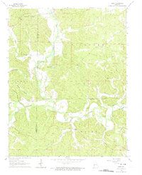
2000 Hurricane
Bollinger County, MO
2000 Patton
Bollinger County, MO
2021 Allbright
Bollinger County, MO
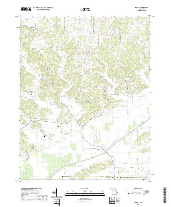
2021 Dongola
Bollinger County, MO
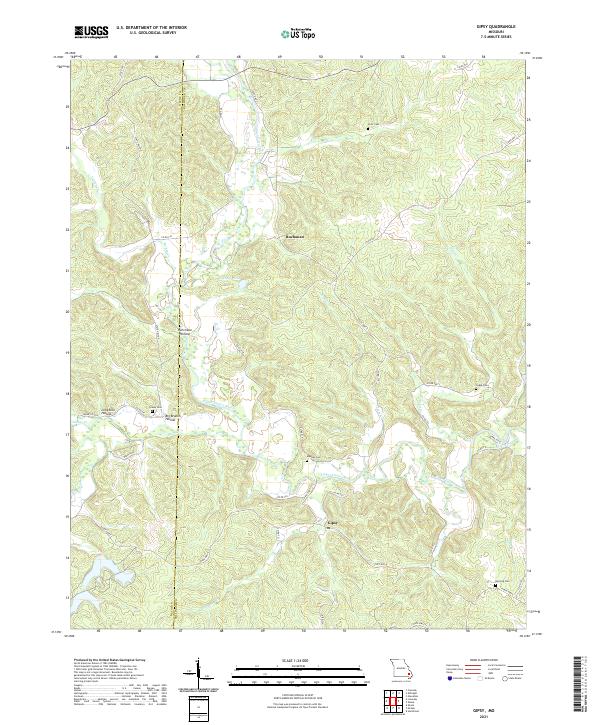
2021 Gipsy
Bollinger County, MO
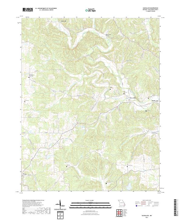
2021 Glenallen
Bollinger County, MO
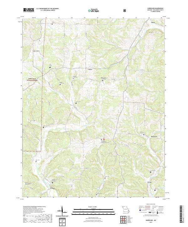
2021 Hurricane
Bollinger County, MO
2021 Patton
Bollinger County, MO
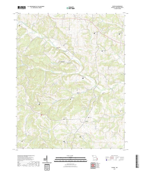
2021 Scopus
Bollinger County, MO
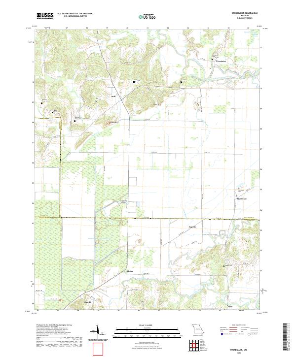
2021 Sturdivant
Bollinger County, MO