
1904 Map of Patton
USGS Topo · Published 1904About this map
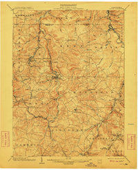
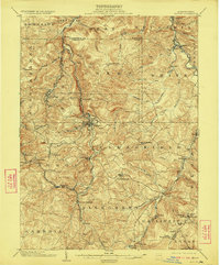
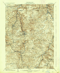
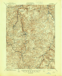
Patton serves as the central hub of this northern Cambria County landscape, situated where the Pennsylvania Railroad follows the winding course of Chest Creek. This early 20th-century survey reveals a region defined by its industrial and religious foundations, with the Mitchell Mines near Hastings signaling the extraction economy while numerous small settlements like St Bonifacius, St Lawrence, and St Augustine reflect the era's deep-rooted community identities. To the south, the Cresson and Irvona Division line navigates through Tunnel Siding, an essential rail link through the high terrain. The topography is marked by several significant gaps in the southeast, including Kittanning Gap and Burgoons Gap, which provided natural corridors for early movement. Genealogists and local historians can trace the specific proximity of historic mills such as Eckenrode Mill to established routes like Carrolltown Road, offering a detailed view of the pre-highway infrastructure.
Find a feature on this map
79 named features on this map. Tap any name to fly to it.
Don’t see what you’re looking for? This feature index may not catch every label — zoom into the map to look around manually.
Map Details
Editions of this 1904 Patton Map
5 editions found
Other maps of this area

1902 · Ebensburg
USGS Topo · 1:62,500

1902 · Patton
USGS Topo · 1:62,500

1902 · Barnesboro
USGS Topo · 1:62,500

1902 · Hollidaysburg
USGS Topo · 1:62,500

1903 · Curwensville
USGS Topo · 1:62,500

1903 · Hollidaysburg
USGS Topo · 1:62,500

1903 · Houtzdale
USGS Topo · 1:62,500

1904 · Barnesboro
USGS Topo · 1:62,500

1904 · Ebensburg
USGS Topo · 1:62,500

1904 · Johnstown
USGS Topo · 1:62,500