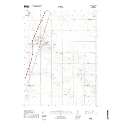
2018 Map of Paxton
USGS Topo · Published 2018About this map
Paxton serves as the focal point of this East Central Illinois landscape, established at the junction of significant transport corridors. The town's grid is well-defined by a network of streets including W Pells St and E Ottawa Rd, surrounding central community spaces like Pells Park. This area of Ford County is characterized by its organized drainage systems, where the Big Four Ditch and Middle Fork Vermilion River navigate the flat prairie terrain. Numerous small burial grounds are scattered throughout the rural landscape, including Glen Cem, Prospect Cem, and the more remote Huffman Cem, providing a detailed record for genealogical research. The presence of C D Maulding Airport east of the city and the southern settlement of Ludlow on the Champaign County border reflect the area's continued role as a regional transit and agricultural hub.
Find a feature on this map
40 named features on this map. Tap any name to fly to it.
Don’t see what you’re looking for? This feature index may not catch every label — zoom into the map to look around manually.
Map Details
Editions of this 2018 Paxton Map
This is the sole edition of this map. No revisions or reprints were ever made.
Other maps of this area

1924 · Paxton
USGS Topo · 1:62,500

1927 · Paxton
USGS Topo · 1:62,500

1936 · Potomac
USGS Topo · 1:62,500

1939 · Cissna Park
USGS Topo · 1:62,500

1948 · Buckley
USGS Topo · 1:62,500

1949 · Cissna Park
USGS Topo · 1:62,500

1949 · Buckley
USGS Topo · 1:62,500

1949 · Paxton
USGS Topo · 1:62,500

1953 · Danville
USGS Topo · 1:250,000

1955 · Danville
USGS Topo · 1:250,000