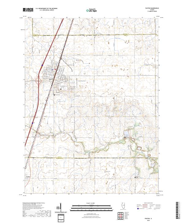
2024 Map of Paxton
USGS Topo · Published 2024About this map
Paxton serves as the focal point of this East Central Illinois landscape, centered around the Ford County Courthouse and a grid of established streets. The town's layout reflects its development as a regional seat, with the C D Maulding Airport situated just to the east and the small community of Ludlow appearing at the southern edge. The surrounding terrain is defined by its agricultural character and an intricate network of rural roads such as Co RD 600 E and E 1000 N RD.
Find a feature on this map
83 named features on this map. Tap any name to fly to it.
Don’t see what you’re looking for? This feature index may not catch every label — zoom into the map to look around manually.
Map Details
Editions of this 2024 Paxton Map
This is the sole edition of this map. No revisions or reprints were ever made.
Other maps of this area

1924 · Paxton
USGS Topo · 1:62,500

1927 · Paxton
USGS Topo · 1:62,500

1936 · Potomac
USGS Topo · 1:62,500

1939 · Cissna Park
USGS Topo · 1:62,500

1948 · Buckley
USGS Topo · 1:62,500

1949 · Cissna Park
USGS Topo · 1:62,500

1949 · Buckley
USGS Topo · 1:62,500

1949 · Paxton
USGS Topo · 1:62,500

1953 · Danville
USGS Topo · 1:250,000

1955 · Danville
USGS Topo · 1:250,000