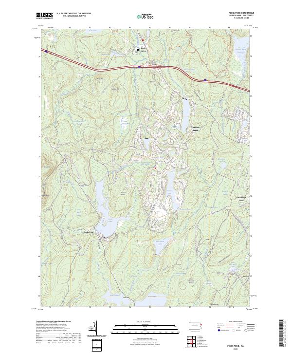
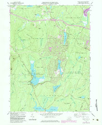
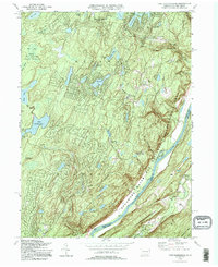
2023 Map of Pecks Pond
USGS Topo · Published 2023About this map
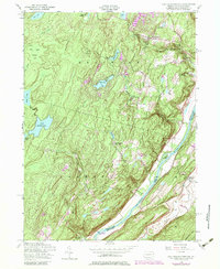
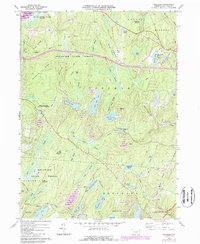
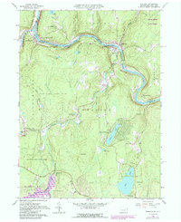
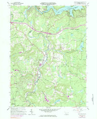
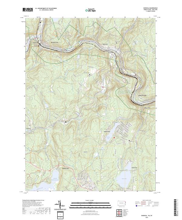
Pecks Pond serves as a central hydrological landmark in this Pike County landscape, surrounded by a complex network of wetlands and upland ridges. The northern reaches are defined by the Lords Valley community and the Lords Valley Cem, while the eastern portion shows the significant residential development of Hemlock Farms and Conashaugh Lakes. The terrain is characterized by prominent elevations such as Burleigh Ridge, Madden Hill, and High Knob, which divide numerous water bodies including Lake Giles and the Shohola Marsh Reservoir. This modern survey illustrates the contemporary balance between large-scale residential enclaves and protected natural features like the Lavice Meadow Barren and Wolf Swamp. Numerous named features like Pinchot Island and Little York Swamp offer detailed points of interest for local geography and genealogy.
Find a feature on this map
171 named features on this map. Tap any name to fly to it.
Don’t see what you’re looking for? This feature index may not catch every label — zoom into the map to look around manually.
Map Details
Editions of this 2023 Pecks Pond Map
This is the sole edition of this map. No revisions or reprints were ever made.
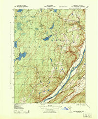
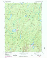
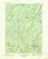
Historical Maps of Porter Township Through Time
35 maps found

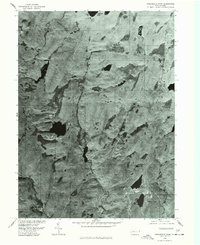
1943 Culvers Gap
Pike County, PA
1943 Lake Maskenozha
Pike County, PA
1943 Twelvemile Pond
Pike County, PA
1947 Twelvemile Pond
Pike County, PA
1954 Lake Maskenozha
Pike County, PA
1965 Edgemere
Pike County, PA
1965 Shohola
Pike County, PA
1966 Newfoundland
Pike County, PA
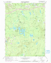
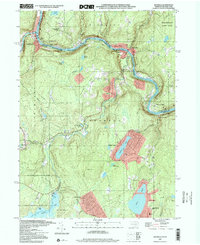
1966 Pecks Pond
Pike County, PA
1966 Promised Land
Pike County, PA
1966 Rowland
Pike County, PA
1976 Promised Land
Pike County, PA
1976 Twelvemile Pond
Pike County, PA

1992 Edgemere
Pike County, PA

1992 Newfoundland
Pike County, PA

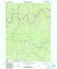
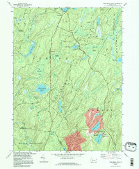
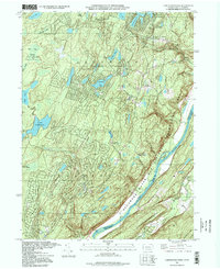
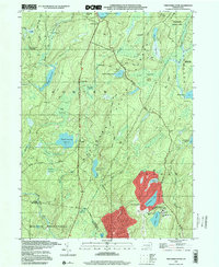
1992 Pecks Pond
Pike County, PA
1994 Lake Maskenozha
Pike County, PA

1994 Promised Land
Pike County, PA

1994 Shohola
Pike County, PA
1994 Twelvemile Pond
Pike County, PA
1995 Lake Maskenozha
Pike County, PA

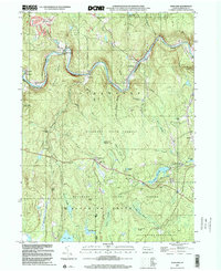
1997 Pecks Pond
Pike County, PA

1997 Promised Land
Pike County, PA
1997 Shohola
Pike County, PA
1997 Twelvemile Pond
Pike County, PA

1999 Newfoundland
Pike County, PA
1999 Rowland
Pike County, PA
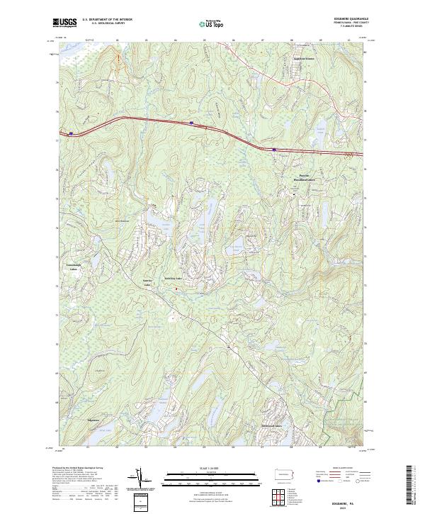
2023 Edgemere
Pike County, PA
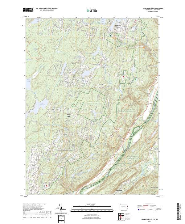
2023 Lake Maskenozha
Pike County, PA
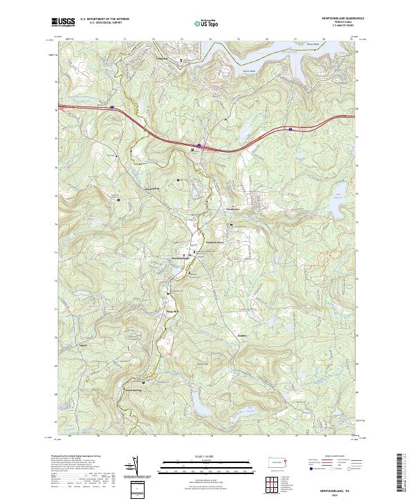
2023 Newfoundland
Pike County, PA
2023 Pecks Pond
Pike County, PA
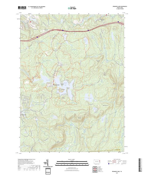
2023 Promised Land
Pike County, PA
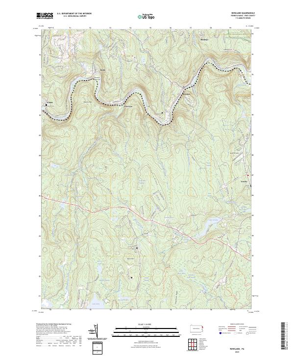
2023 Rowland
Pike County, PA
2023 Shohola
Pike County, PA
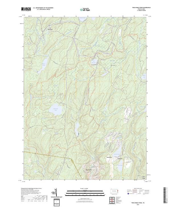
2023 Twelvemile Pond
Pike County, PA
Featured Locations
- Blooming Grove Township, PA
- Dingman Township, PA
- Greene Township, PA
- Porter Township, PA
- Pecks Pond, Porter Township