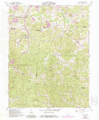
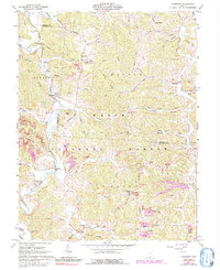
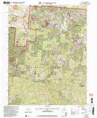
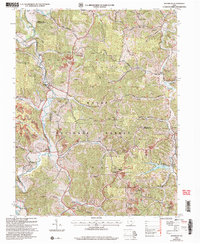
1961 Map of Pedro
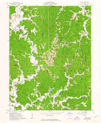
USGS Topo · Published 1963This historical map portrays the area of Pedro in 1961, primarily covering Lawrence as well as portions of Scioto County. Featuring a scale of 1:24000, this map provides a highly detailed snapshot of the terrain, roads, buildings, counties, and historical landmarks in the Pedro region at the time. Published in 1963, it is one of 4 known editions of this map due to revisions or reprints.
Find a feature on this map
86 named features on this map. Tap any name to fly to it.
Don’t see what you’re looking for? This feature index may not catch every label — zoom into the map to look around manually.
Map Details
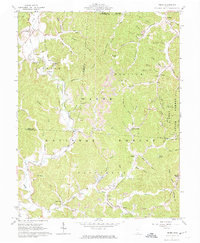
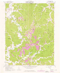
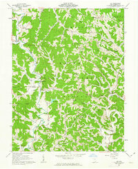
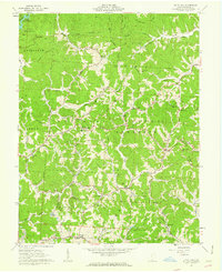
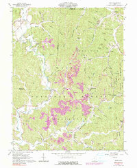
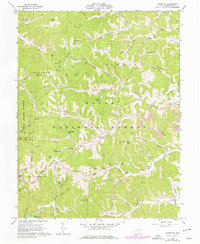
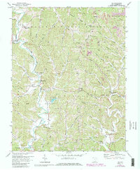
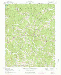
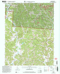
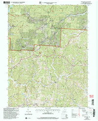
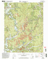
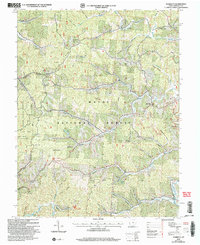
Editions of this 1961 Pedro Map
4 editions found
Historical Maps of Bondclay Through Time
14 maps found
1961 Aid
Lawrence County, OH
1961 Gallia
Lawrence County, OH
1961 Kitts Hill
Lawrence County, OH
1961 Pedro
Lawrence County, OH
1961 Sherritts
Lawrence County, OH
1961 Waterloo
Lawrence County, OH
1972 Aid
Lawrence County, OH
1972 Kitts Hill
Lawrence County, OH
2002 Aid
Lawrence County, OH
2002 Gallia
Lawrence County, OH
2002 Kitts Hill
Lawrence County, OH
2002 Pedro
Lawrence County, OH
2002 Sherritts
Lawrence County, OH
2002 Waterloo
Lawrence County, OH
Featured Locations
- Andre, OH
- Decatur Township, OH
- Vernon, Decatur Township
- Lawrence, Elizabeth Township
- Pedro, Elizabeth Township