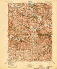
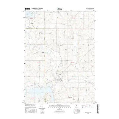
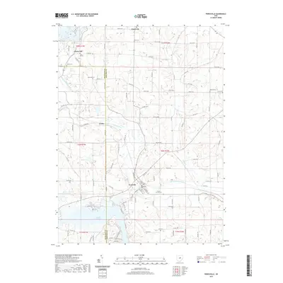
1961 Map of Perrysville
USGS Topo · Published 1963About this map
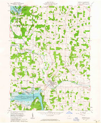
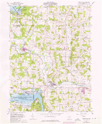
The Black Fork Mohican River defines the landscape of this Ashland County region in the early 1960s, meandering past the village of Perrysville and through a series of engineered flood controls managed by the Muskingum Watershed Conservancy District. The map captures a moment when the rural economy is clearly transitioning, marked by an extensive Gas Field peppered with individual wells and several gravel pits. Transportation infrastructure is anchored by the Pennsylvania Railroad, which follows the river valley through Coulter, while local life is evidenced by institutions like Vermillion Ch and recreational sites such as Camp Wesley and Camp Wooster. Significant water bodies like Charles Mill Reservoir and Pleasant Hill Reservoir bookend the corners of the quadrangle, reflecting the importance of water management and local tourism at Pleasant Hill Lake Park during this era.
Find a feature on this map
44 named features on this map. Tap any name to fly to it.
Don’t see what you’re looking for? This feature index may not catch every label — zoom into the map to look around manually.
Map Details
Editions of this 1961 Perrysville Map
3 editions found
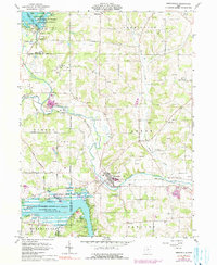
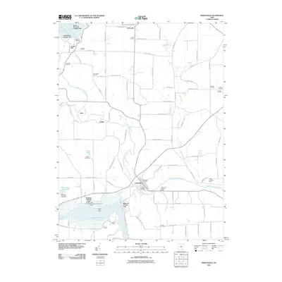
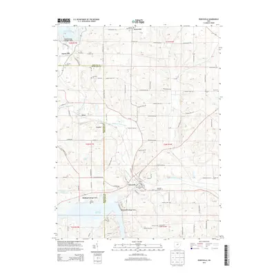
Historical Maps of Perrysville Through Time
9 maps found
1912 Perrysville
Ashland County, OH
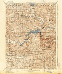
1915 Perrysville
Ashland County, OH
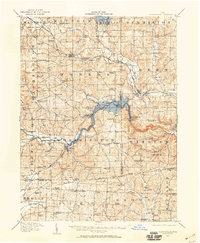
1944 Perrysville
Ashland County, OH
1961 Perrysville
Ashland County, OH
2010 Perrysville
Ashland County, OH
2013 Perrysville
Ashland County, OH
2016 Perrysville
Ashland County, OH
2019 Perrysville
Ashland County, OH
2023 Perrysville
Ashland County, OH
Featured Locations
- Green Township, OH
- Mifflin Township, OH
- Monroe Township, OH
- Yacht Point Cottage Area, Mifflin Township
- Perrysville, Green Township