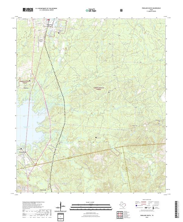
2022 Map of Pineland South
USGS Topo · Published 2022About this map
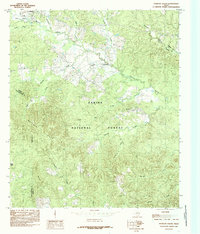
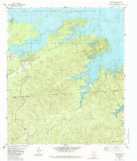
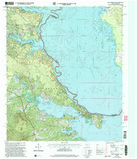
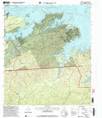
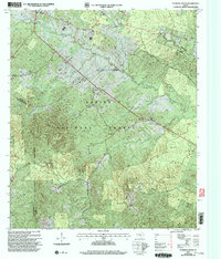
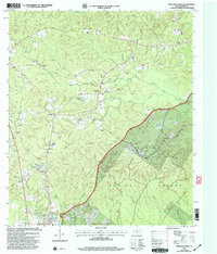
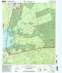
Sabine National Forest dominates this landscape in east Texas, where the timber and water resources have long shaped local life. The town of Pineland serves as a northern anchor, adjacent to Pineland Municipal Airport and the waters of Temple-Eastex Lake B-2. To the south, the expansion of the Sam Rayburn Reservoir meets the mouths of Trout Bayou and McKim Creek, marking a significant shift from the upland forest to the reservoir's edge.
Find a feature on this map
72 named features on this map. Tap any name to fly to it.
Don’t see what you’re looking for? This feature index may not catch every label — zoom into the map to look around manually.
Map Details
Editions of this 2022 Pineland South Map
This is the sole edition of this map. No revisions or reprints were ever made.
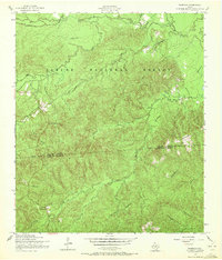
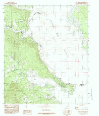
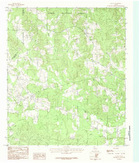
Historical Maps of McElroy Through Time
23 maps found
1954 Fairdale
Sabine County, TX

1954 Negreet SW
Sabine County, TX
1984 East Hamilton
Sabine County, TX
1984 Geneva
Sabine County, TX
1984 Hurricane Creek
Sabine County, TX
1984 Patroon South
Sabine County, TX
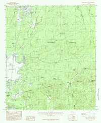
1984 Pineland North
Sabine County, TX
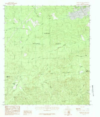
1984 Pineland South
Sabine County, TX
1985 Fairmount
Sabine County, TX
2003 East Hamilton
Sabine County, TX
2003 Fairmount
Sabine County, TX
2003 Hurricane Creek
Sabine County, TX
2003 Patroon South
Sabine County, TX
2003 Pineland North
Sabine County, TX
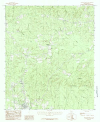
2003 Pineland South
Sabine County, TX
2022 East Hamilton
Sabine County, TX
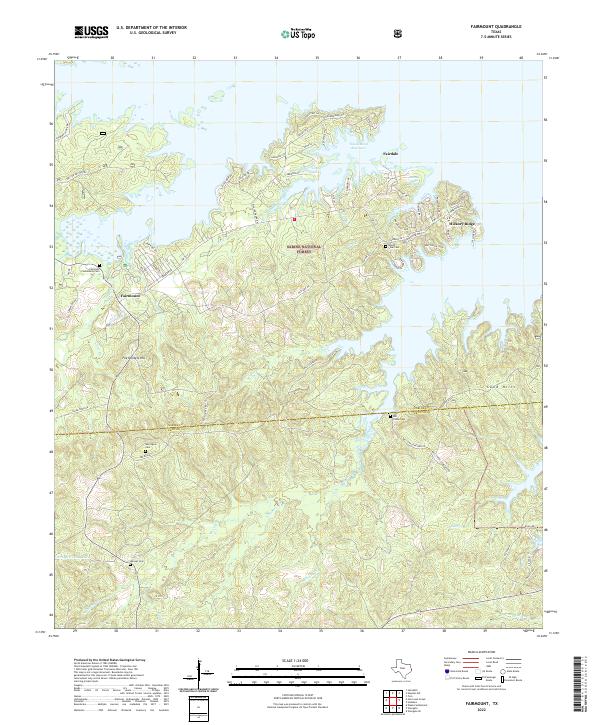
2022 Fairmount
Sabine County, TX
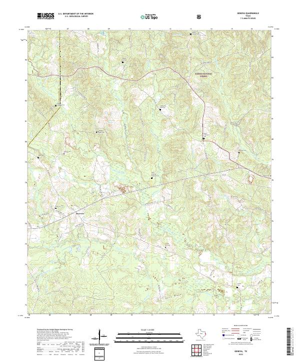
2022 Geneva
Sabine County, TX
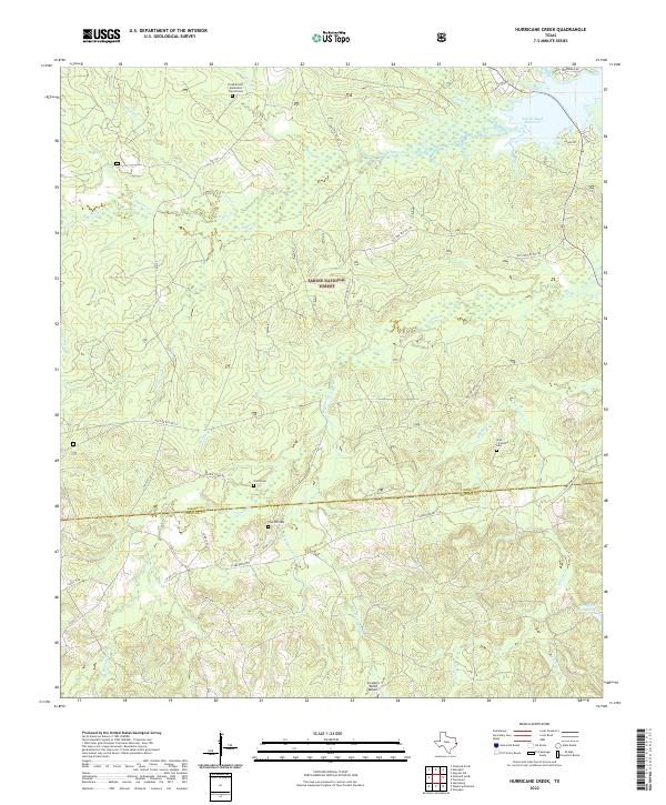
2022 Hurricane Creek
Sabine County, TX
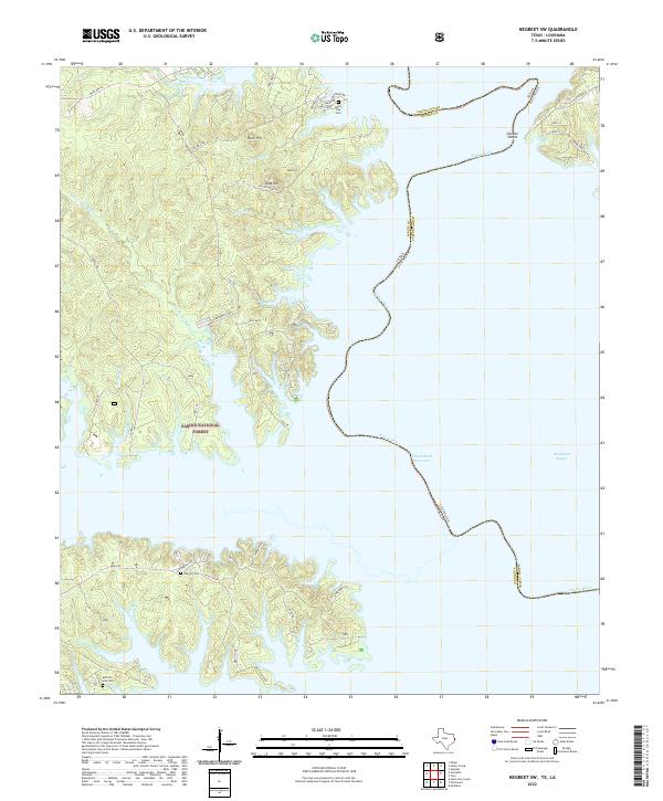
2022 Negreet SW
Sabine County, TX
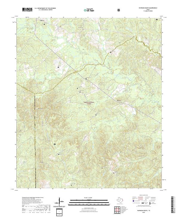
2022 Patroon South
Sabine County, TX
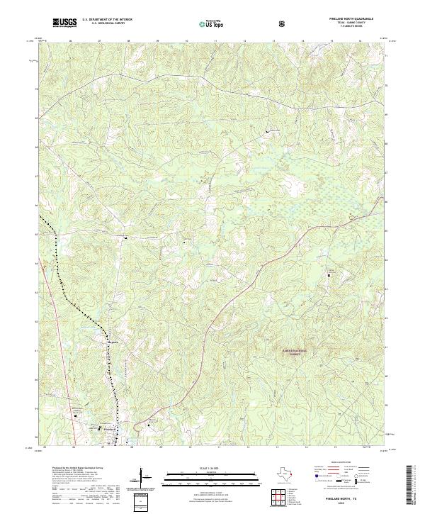
2022 Pineland North
Sabine County, TX
2022 Pineland South
Sabine County, TX