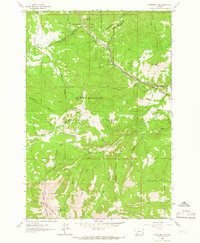
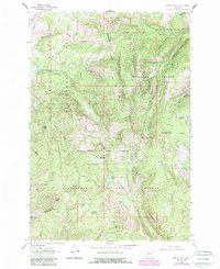
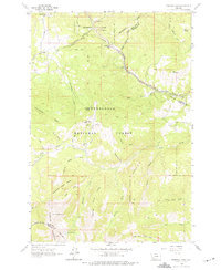
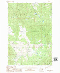
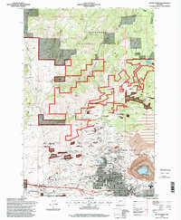
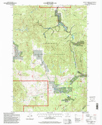
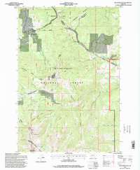
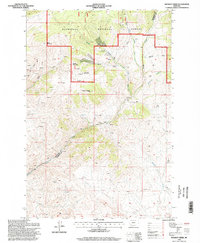
1963 Map of Pipestone Pass
USGS Topo · Published 1966This historical map portrays the area of Pipestone Pass in 1963, primarily covering Silver Bow County as well as portions of Jefferson County and Madison County. Featuring a scale of 1:24000, this map provides a highly detailed snapshot of the terrain, roads, buildings, counties, and historical landmarks in the Pipestone Pass region at the time. Published in 1966, it is one of 2 known editions of this map due to revisions or reprints.
Find a feature on this map
46 named features on this map. Tap any name to fly to it.
Don’t see what you’re looking for? This feature index may not catch every label — zoom into the map to look around manually.
Map Details
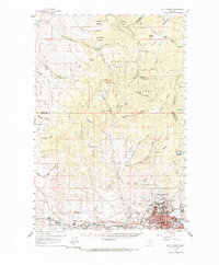
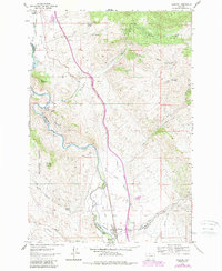
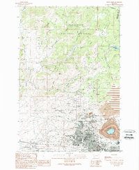
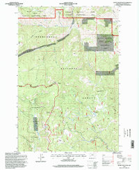
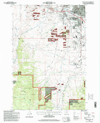
Editions of this 1963 Pipestone Pass Map
2 editions found
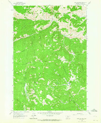
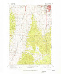
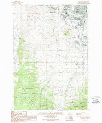
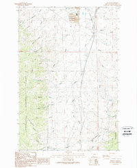
Historical Maps of Jefferson County Through Time
26 maps found
1959 Butte North
Silver Bow County, MT
1961 Burnt Mountain
Silver Bow County, MT
1961 Butte South
Silver Bow County, MT
1961 Dickie Peak
Silver Bow County, MT
1961 Melrose
Silver Bow County, MT
1961 Wickiup Creek
Silver Bow County, MT
1963 Homestake
Silver Bow County, MT
1963 Pipestone Pass
Silver Bow County, MT
1989 Butte North
Silver Bow County, MT
1989 Butte South
Silver Bow County, MT
1989 Buxton
Silver Bow County, MT
1989 Mount Humbug
Silver Bow County, MT
1989 Ramsay
Silver Bow County, MT
1989 Tucker Creek
Silver Bow County, MT
1996 Burnt Mountain
Silver Bow County, MT
1996 Butte North
Silver Bow County, MT
1996 Butte South
Silver Bow County, MT
1996 Buxton
Silver Bow County, MT
1996 Homestake
Silver Bow County, MT
1996 Mount Humbug
Silver Bow County, MT
1996 Pipestone Pass
Silver Bow County, MT
1996 Ramsay
Silver Bow County, MT
1996 Tucker Creek
Silver Bow County, MT
1996 Wickiup Creek
Silver Bow County, MT
1997 Dickie Peak
Silver Bow County, MT
1997 Melrose
Silver Bow County, MT