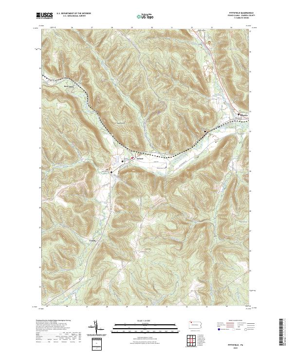
2023 Map of Pittsfield
USGS Topo · Published 2023About this map
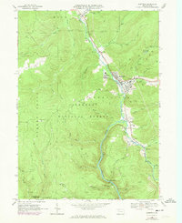
Little Brokenstraw Creek and Brokenstraw Creek converge near the settlement of Pittsfield, anchoring a landscape defined by deeply incised runs and hollows in Warren County. This modern survey illustrates a network of small upland communities and rural intersections, including Garland, Torpedo, and Horn Siding, each connected by roads like Rte 27 and Kane Rd. The area is notably dense with local burial sites, such as the Old Presbyterian Cem and Riverside Cem, which provide significant points of interest for genealogists tracing early families. The terrain transitions from the prominent Baker Rocks down to numerous watercourses like Blue Eye Run and Gar Run, reflecting the enduring settlement patterns established along these narrow valleys and historical transit corridors.
Find a feature on this map
54 named features on this map. Tap any name to fly to it.
Don’t see what you’re looking for? This feature index may not catch every label — zoom into the map to look around manually.
Map Details
Editions of this 2023 Pittsfield Map
This is the sole edition of this map. No revisions or reprints were ever made.
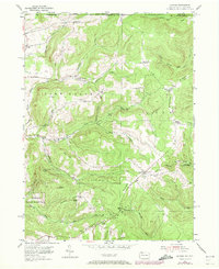
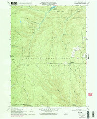
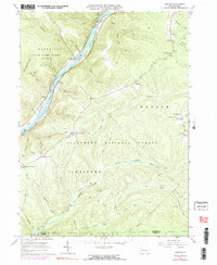
Historical Maps of Pittsfield Township Through Time
21 maps found

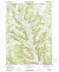
1947 Cherry Grove
Warren County, PA
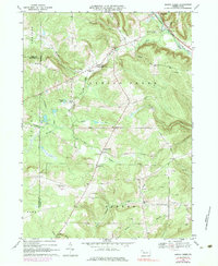
1954 Scandia
Warren County, PA
1966 Cherry Grove
Warren County, PA
1966 Cobham
Warren County, PA
1966 Cornplanter Run
Warren County, PA
1966 Sheffield
Warren County, PA
1968 Columbus
Warren County, PA
1968 Grand Valley
Warren County, PA
1968 Lottsville
Warren County, PA
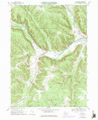
1968 Pittsfield
Warren County, PA
1968 Spring Creek
Warren County, PA
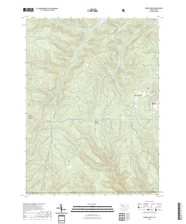
2023 Cherry Grove
Warren County, PA
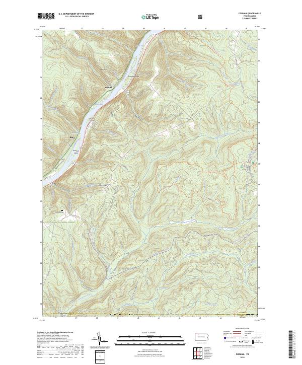
2023 Cobham
Warren County, PA
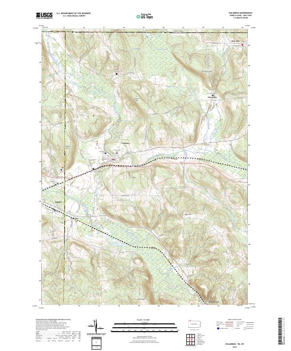
2023 Columbus
Warren County, PA
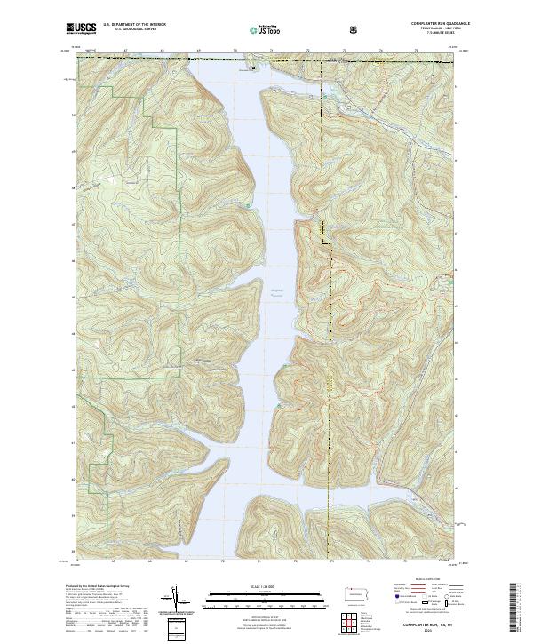
2023 Cornplanter Run
Warren County, PA
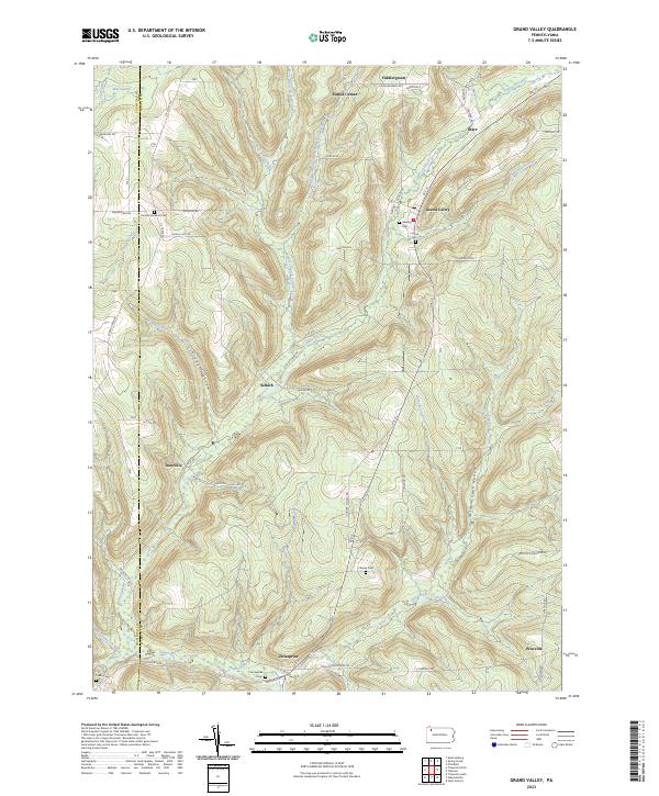
2023 Grand Valley
Warren County, PA
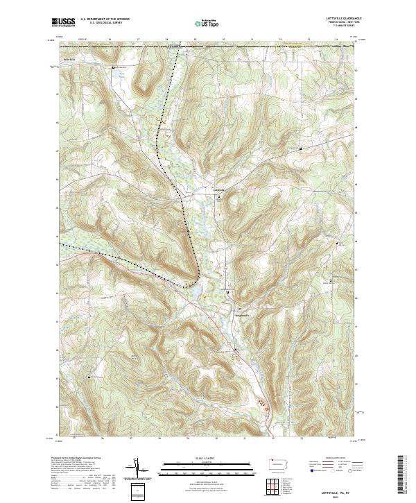
2023 Lottsville
Warren County, PA
2023 Pittsfield
Warren County, PA
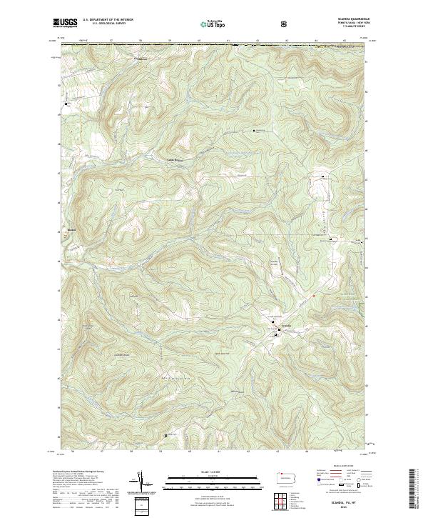
2023 Scandia
Warren County, PA
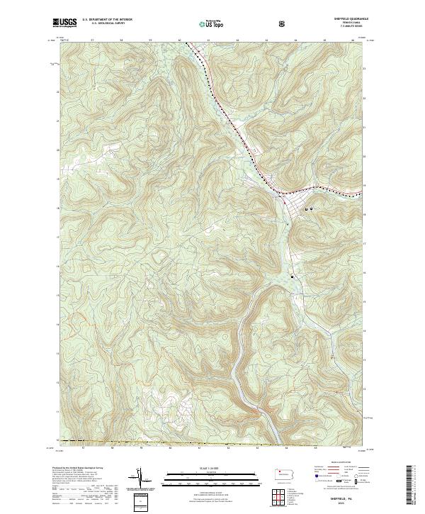
2023 Sheffield
Warren County, PA
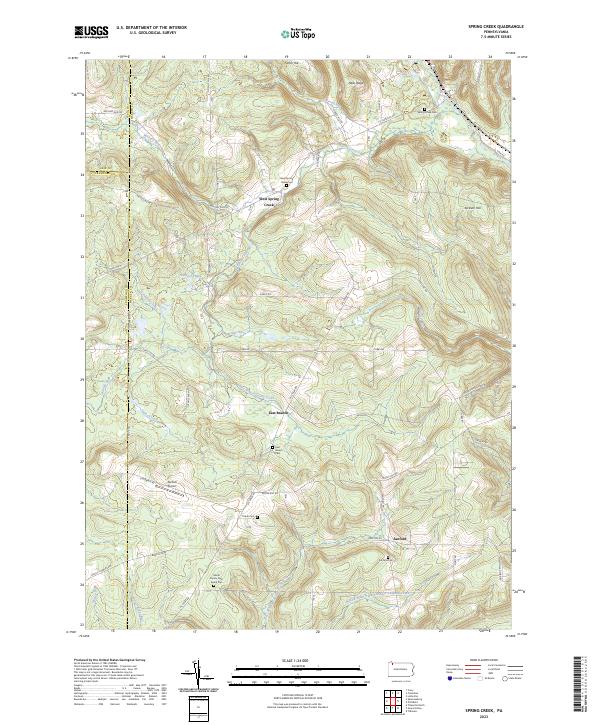
2023 Spring Creek
Warren County, PA
Featured Locations
- Pittsfield Township, PA
- Spring Creek Township, PA
- Deerfield Township, PA
- Horn Siding, Spring Creek Township
- Garland, Pittsfield Township