
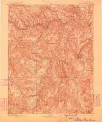
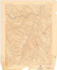
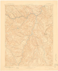
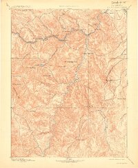
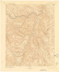
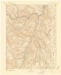
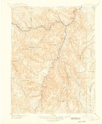
1893 Map of Platte Canyon
USGS Topo · Published 1893About this map
The Denver South Park and Pacific RR dictates the development of this Colorado landscape, winding through the sharp turns of South Platte Canyon. Surveyed just before the silver panic and subsequent railway reorganizations, the map shows a corridor of small mountain stations such as Bailes, Estabrook, and Pine Grove that served as vital links between the high country and the plains. This era of narrow-gauge rail expansion was critical for accessing the timber and mineral resources of the Tarryall Mts.
Find a feature on this map
39 named features on this map. Tap any name to fly to it.
Don’t see what you’re looking for? This feature index may not catch every label — zoom into the map to look around manually.
Map Details
Editions of this 1893 Platte Canyon Map
8 editions found
Other maps of this area

1890 · East Denver
USGS Topo · 1:125,000

1893 · Colorado Springs
USGS Topo · 1:125,000

1894 · Pikes Peak
USGS Topo · 1:125,000

1894 · Castle Rock
USGS Topo · 1:125,000

1899 · West Denver
USGS Topo · 1:125,000

1901 · Pikes Peak
USGS Topo · 1:125,000

1901 · Pikes Peak
USGS Topo · 1:62,500

1903 · Georgetown
USGS Topo · 1:62,500

1905 · Georgetown
USGS Topo · 1:62,500

1909 · Colorado Springs
USGS Topo · 1:125,000