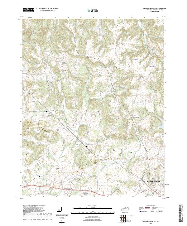
2022 Map of Pleasant Green Hill
USGS Topo · Published 2022About this map
The Sinking Fork drainage basin dominates this Western Kentucky landscape, where karst topography and family history converge northwest of Hopkinsville. This 2022 survey reveals a rural pattern of development tied to the land's hydrology, with the namesake settlement of Sinking Fork and the community of Pleasant Green Hill serving as local anchors. Numerous small family and community burial grounds, such as the Langhi Family Cem and the Old Bell Place Cem, are scattered across the terrain, offering significant primary-source locations for genealogical research.
Find a feature on this map
78 named features on this map. Tap any name to fly to it.
Don’t see what you’re looking for? This feature index may not catch every label — zoom into the map to look around manually.
Map Details
Editions of this 2022 Pleasant Green Hill Map
This is the sole edition of this map. No revisions or reprints were ever made.
Other maps of this area

1909 · Dawson Springs
USGS Topo · 1:48,000

1911 · Dawson Springs
USGS Topo · 1:62,500

1912 · Nortonville
USGS Topo · 1:62,500

1950 · Caledonia
USGS Topo · 1:24,000

1951 · Church Hill
USGS Topo · 1:24,000

1951 · Caledonia
USGS Topo · 1:24,000

1951 · Hopkinsville
USGS Topo · 1:24,000

1952 · Pleasant Green Hill
USGS Topo · 1:24,000

1952 · Kelly
USGS Topo · 1:24,000

1952 · Crofton
USGS Topo · 1:24,000