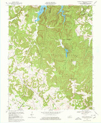
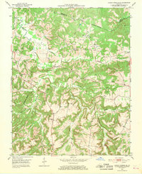
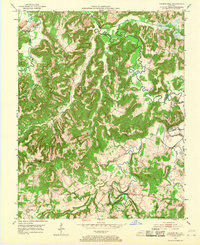
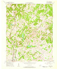
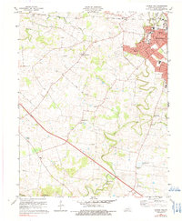
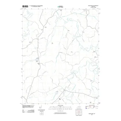
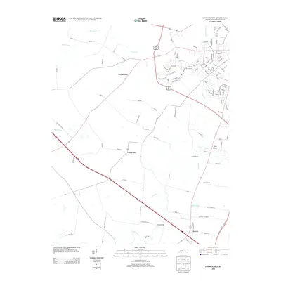
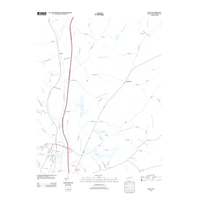
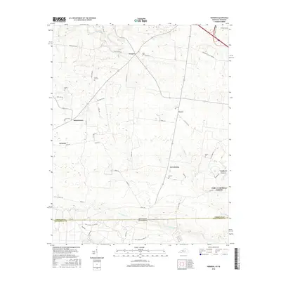
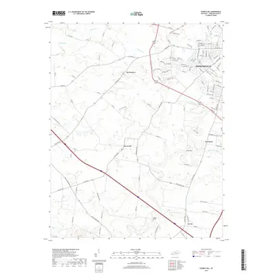
1967 Map of Dawson Springs SW
USGS Topo · Published 1980About this map
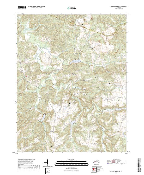
Pennyrile State Forest and the newly established Lake Beshear dominate this western Kentucky landscape where the borders of Caldwell, Christian, and Trigg counties meet. The 1967 revision captures a moment of transition from a rural farming and mining economy toward a recreational hub centered on Pennyrile Lake. In addition to the large reservoir, the map documents the extractive history of the area with scattered Gas Well and Oil Well sites tucked into the deep hollows like Bluff Hollow and Sheephole Hollow. Genealogists will find a wealth of local landmarks, including the Macedonia Ch and Pleasant Grove Ch, alongside family burial grounds such as Vanhooser Cem and Irvin Cem. The terrain is characterized by prominent ridges including Lisanby Ridge and Fowler Ridge, which provided the high ground for early settlements and rural schools before the expansion of the state forest and park systems.
Find a feature on this map
44 named features on this map. Tap any name to fly to it.
Don’t see what you’re looking for? This feature index may not catch every label — zoom into the map to look around manually.
Map Details
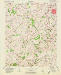
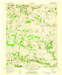
Editions of this 1967 Dawson Springs SW Map
2 editions found
Historical Maps of Ruth Through Time
58 maps found

1951 Church Hill
Christian County, KY

1951 Herndon
Christian County, KY
1952 Honey Grove
Christian County, KY

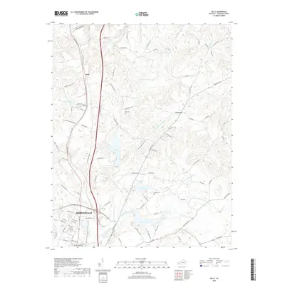
1952 Kelly
Christian County, KY
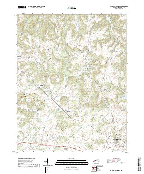
1952 Pleasant Green Hill
Christian County, KY
1953 Dawson Springs SE
Christian County, KY

1953 Dawson Springs SW
Christian County, KY
1953 Haleys Mill
Christian County, KY
1956 Church Hill
Christian County, KY
1957 Herndon
Christian County, KY
1957 Kelly
Christian County, KY
1957 Pleasant Green Hill
Christian County, KY
1967 Dawson Springs SW
Christian County, KY
1969 Kelly
Christian County, KY
1972 Haleys Mill
Christian County, KY
1978 Church Hill
Christian County, KY
1978 Herndon
Christian County, KY
1993 Kelly
Christian County, KY
2010 Church Hill
Christian County, KY

2010 Dawson Springs SE
Christian County, KY

2010 Dawson Springs SW
Christian County, KY
2010 Haleys Mill
Christian County, KY
2010 Herndon
Christian County, KY
2010 Honey Grove
Christian County, KY
2010 Kelly
Christian County, KY

2010 Pleasant Green Hill
Christian County, KY
2013 Church Hill
Christian County, KY

2013 Dawson Springs SE
Christian County, KY

2013 Dawson Springs SW
Christian County, KY
2013 Haleys Mill
Christian County, KY
2013 Herndon
Christian County, KY
2013 Honey Grove
Christian County, KY
2013 Kelly
Christian County, KY

2013 Pleasant Green Hill
Christian County, KY
2016 Church Hill
Christian County, KY
2016 Dawson Springs SE
Christian County, KY

2016 Dawson Springs SW
Christian County, KY
2016 Haleys Mill
Christian County, KY
2016 Herndon
Christian County, KY
2016 Honey Grove
Christian County, KY
2016 Kelly
Christian County, KY
2016 Pleasant Green Hill
Christian County, KY
2019 Church Hill
Christian County, KY

2019 Dawson Springs SE
Christian County, KY

2019 Dawson Springs SW
Christian County, KY
2019 Haleys Mill
Christian County, KY
2019 Herndon
Christian County, KY
2019 Honey Grove
Christian County, KY
2019 Kelly
Christian County, KY

2019 Pleasant Green Hill
Christian County, KY
2022 Church Hill
Christian County, KY
2022 Dawson Springs SE
Christian County, KY
2022 Dawson Springs SW
Christian County, KY
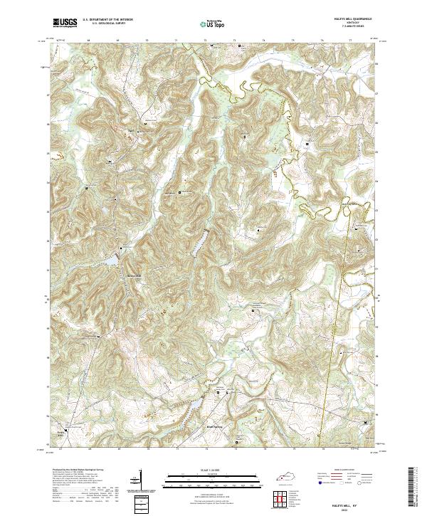
2022 Haleys Mill
Christian County, KY
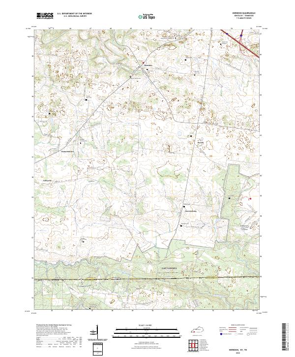
2022 Herndon
Christian County, KY
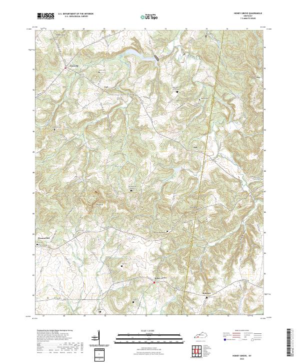
2022 Honey Grove
Christian County, KY
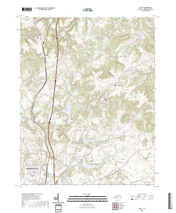
2022 Kelly
Christian County, KY
2022 Pleasant Green Hill
Christian County, KY