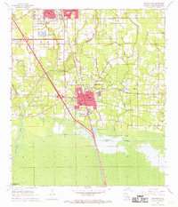
1968 Map of Ponchatoula
USGS Topo · Published 1969About this map
Ponchatoula and the southern edge of Hammond dominate this late 1960s survey, illustrating a landscape transitioning through suburban growth and interstate development. The Illinois Central railroad remains a central spine through the region, connecting the residential cores of Ponchatoula and the nearby settlement of Wadesboro. Beyond the towns, the terrain gives way to the low-lying waters of South Slough and the Natalbany River, while the Anderson Canal reflects local efforts to manage the marshy environment of Tangipahoa Parish.
Find a feature on this map
47 named features on this map. Tap any name to fly to it.
Don’t see what you’re looking for? This feature index may not catch every label — zoom into the map to look around manually.
Map Details
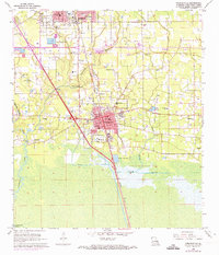
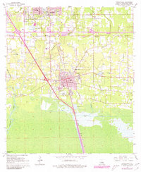
Editions of this 1968 Ponchatoula Map
3 editions found
Other maps of this area

1934 · Springfield
USGS Topo · 1:62,500

1935 · Ponchatoula
USGS Topo · 1:62,500

1939 · Ponchatoula
USGS Topo · 1:62,500

1939 · Springfield
USGS Topo · 1:62,500

1940 · Tickfaw
USGS Topo · 1:31,680

1942 · Robert
USGS Topo · 1:31,680

1949 · Albany
USGS Topo · 1:31,680

1951 · Ponchatoula
USGS Topo · 1:62,500

1954 · Baton Rouge
USGS Topo · 1:250,000

1956 · Baton Rouge
USGS Topo · 1:250,000