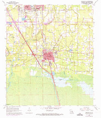
1968 Map of Ponchatoula
USGS Topo · Published 1973About this map
The southern portion of Hammond and the growing town of Ponchatoula anchor this 1960s survey of Tangipahoa Parish, revised in the early 1970s. The landscape transition is evident as the terrain moves from urban centers and industrial pits into the low-lying wetlands of the South Slough and Natalbany River basin. The Illinois Central Gulf railroad provides the primary north-south spine for the region, paralleled by a dense network of country churches like Good Hope Ch and New Jerusalem Ch. For those tracing family histories, several burial sites are documented including Wetmore Cem and Arnold Cem. The map also captures the settlement of Wadesboro and local water bodies such as Lake Ju-Lu and the Anderson Canal, illustrating how the drainage and transport networks shaped the development of this Louisiana parish during a period of infrastructure expansion.
Find a feature on this map
46 named features on this map. Tap any name to fly to it.
Don’t see what you’re looking for? This feature index may not catch every label — zoom into the map to look around manually.
Map Details
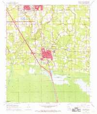
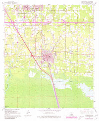
Editions of this 1968 Ponchatoula Map
3 editions found
Other maps of this area

1934 · Springfield
USGS Topo · 1:62,500

1935 · Ponchatoula
USGS Topo · 1:62,500

1939 · Ponchatoula
USGS Topo · 1:62,500

1939 · Springfield
USGS Topo · 1:62,500

1940 · Tickfaw
USGS Topo · 1:31,680

1942 · Robert
USGS Topo · 1:31,680

1949 · Albany
USGS Topo · 1:31,680

1951 · Ponchatoula
USGS Topo · 1:62,500

1954 · Baton Rouge
USGS Topo · 1:250,000

1956 · Baton Rouge
USGS Topo · 1:250,000