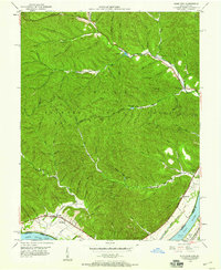
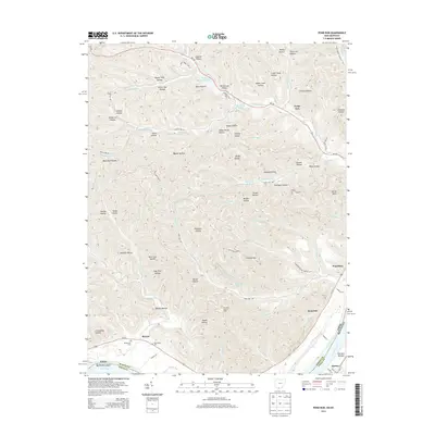
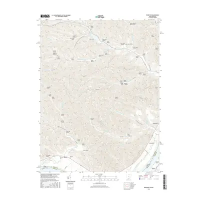
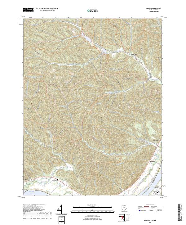
1967 Map of Pond Run
USGS Topo · Published 1970About this map
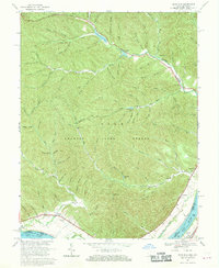
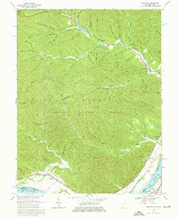
Shawnee State Forest dominates this section of the Ohio River valley, where deep-cut hollows and ridges define the southern Ohio landscape across the river from Lewis County, Kentucky. The 1960s terrain shows a network of forest roads and hiking trails connecting several small reservoirs, including Turkey Creek Lake and Roosevelt Lake. Along the northern edge, Turkey Creek flows toward the river, passing Camp Oyo and Turkey Creek Ch.
Find a feature on this map
70 named features on this map. Tap any name to fly to it.
Don’t see what you’re looking for? This feature index may not catch every label — zoom into the map to look around manually.
Map Details
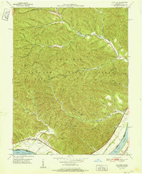
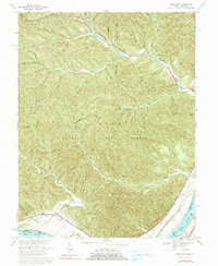
Editions of this 1967 Pond Run Map
3 editions found
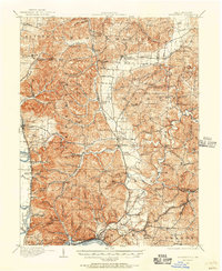
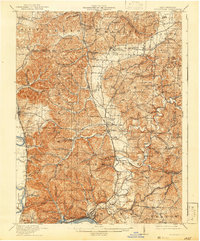
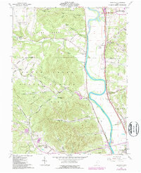
Historical Maps of Scioto County Through Time
16 maps found
1911 Sciotoville
Scioto County, OH
1913 Sciotoville
Scioto County, OH
1949 Pond Run
Scioto County, OH
1951 Pond Run
Scioto County, OH
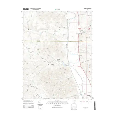
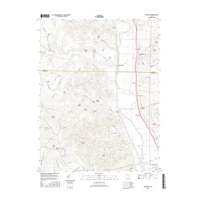
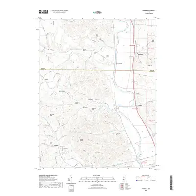
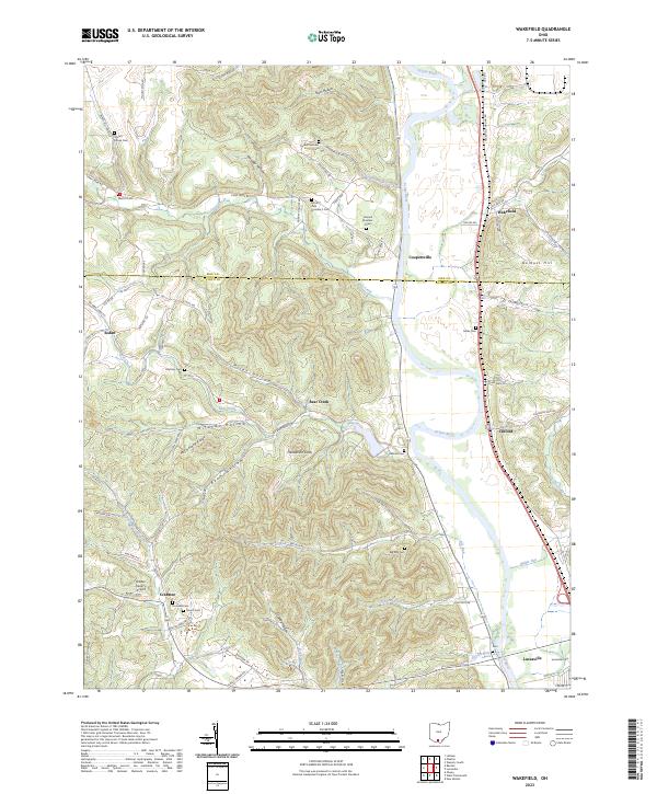
1961 Wakefield
Scioto County, OH
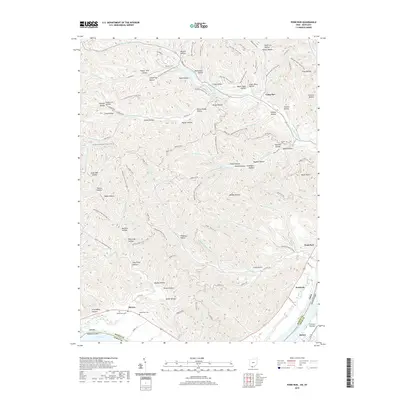
1967 Pond Run
Scioto County, OH
2010 Pond Run
Scioto County, OH
2010 Wakefield
Scioto County, OH
2013 Pond Run
Scioto County, OH
2013 Wakefield
Scioto County, OH
2016 Pond Run
Scioto County, OH
2016 Wakefield
Scioto County, OH
2019 Pond Run
Scioto County, OH
2019 Wakefield
Scioto County, OH
2023 Pond Run
Scioto County, OH
2023 Wakefield
Scioto County, OH