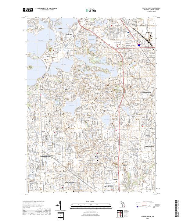
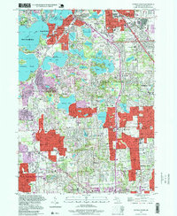
2023 Map of Pontiac South
USGS Topo · Published 2023About this map
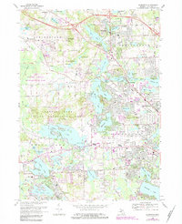
Pontiac and its surrounding suburban enclaves anchor this detailed survey of Oakland County's lake-rich corridor. The landscape is defined by its complex glacial hydrology, with significant water bodies like Cass Lake, Orchard Lake, and Pine Lake shaping the layout of modern residential developments and historic village centers. The influence of early 20th-century estate building and educational expansion is evident in the presence of the Cranbrook Academy of Art and several specialized religious sites, including the Kirk in the Hills Columbarium.
Find a feature on this map
69 named features on this map. Tap any name to fly to it.
Don’t see what you’re looking for? This feature index may not catch every label — zoom into the map to look around manually.
Map Details
Editions of this 2023 Pontiac South Map
This is the sole edition of this map. No revisions or reprints were ever made.
Historical Maps of Keego Harbor Through Time
30 maps found
1936 Clarkston
Oakland County, MI
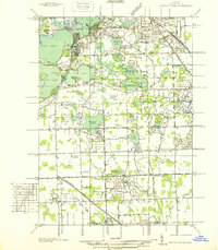
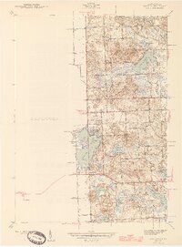
1936 Highland
Oakland County, MI
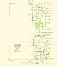
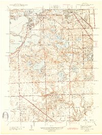
1936 Pontiac North
Oakland County, MI
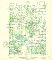
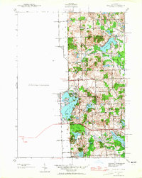
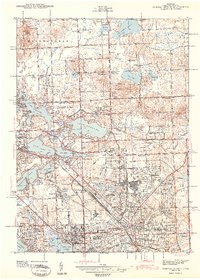
1936 Pontiac South
Oakland County, MI
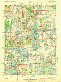
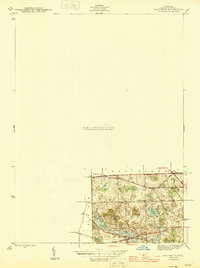
1936 Salem
Oakland County, MI
1942 Highland
Oakland County, MI
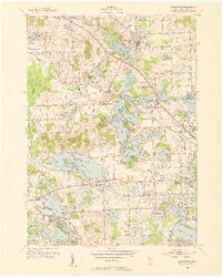
1943 Clarkston
Oakland County, MI
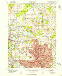
1943 Pontiac North
Oakland County, MI
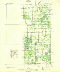
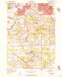
1943 Pontiac South
Oakland County, MI
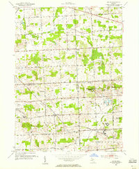
1945 Davisburg
Oakland County, MI
1945 Highland
Oakland County, MI

1945 Salem
Oakland County, MI
1952 Clarkston
Oakland County, MI
1952 Pontiac North
Oakland County, MI
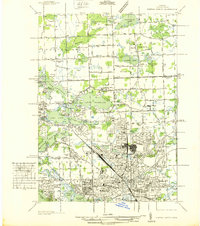
1952 Pontiac South
Oakland County, MI
1953 Salem
Oakland County, MI
1968 Clarkston
Oakland County, MI
1968 Davisburg
Oakland County, MI
1968 Highland
Oakland County, MI
1968 Pontiac North
Oakland County, MI
1968 Pontiac South
Oakland County, MI
1969 Salem
Oakland County, MI
1997 Pontiac North
Oakland County, MI
1997 Pontiac South
Oakland County, MI
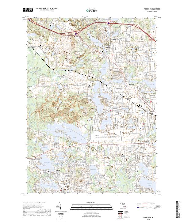
2023 Clarkston
Oakland County, MI
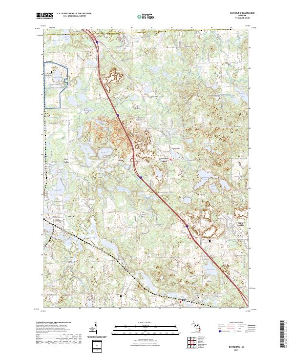
2023 Davisburg
Oakland County, MI
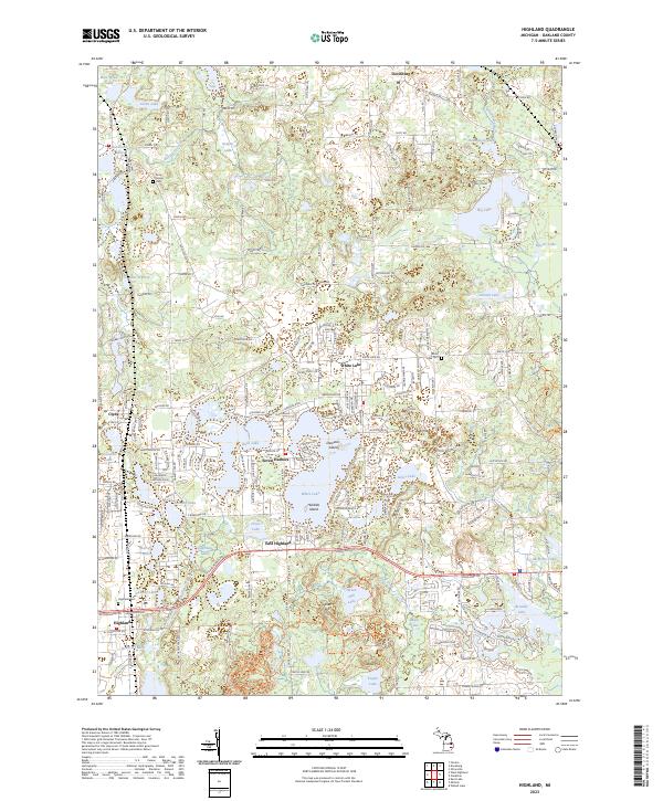
2023 Highland
Oakland County, MI
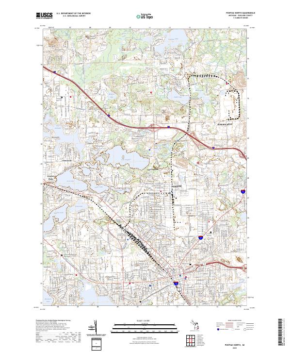
2023 Pontiac North
Oakland County, MI
2023 Pontiac South
Oakland County, MI
2023 Salem
Oakland County, MI