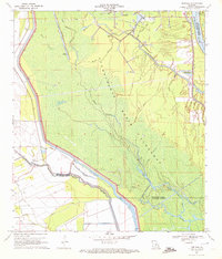
1970 Map of Portage
USGS Topo · Published 1972About this map
Portage sits at the western edge of a complex hydraulic landscape where the Atchafalaya Basin Floodway dominates the geography of St. Landry and St. Martin Parishes. The map illustrates a transitional period of 20th-century land use, where the traditional natural waterways of the Atchafalaya River delta, such as Bayou Courtableau and Little Bayou Fordoche, are increasingly managed by an extensive Levee system and modern industrial infrastructure.
Find a feature on this map
29 named features on this map. Tap any name to fly to it.
Don’t see what you’re looking for? This feature index may not catch every label — zoom into the map to look around manually.
Map Details
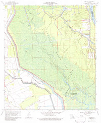
Editions of this 1970 Portage Map
2 editions found
Other maps of this area

1935 · Osca Bayou
USGS Topo · 1:62,500

1939 · Fordoche
USGS Topo · 1:62,500

1940 · Arnaudville
USGS Topo · 1:62,500

1954 · Baton Rouge
USGS Topo · 1:250,000

1955 · Osca Bayou
USGS Topo · 1:62,500

1955 · Fordoche
USGS Topo · 1:62,500

1956 · Baton Rouge
USGS Topo · 1:250,000
1959 · Osca Bayou
USGS Topo · 1:62,500

1959 · Fordoche
USGS Topo · 1:62,500

1959 · Palmetto
USGS Topo · 1:62,500