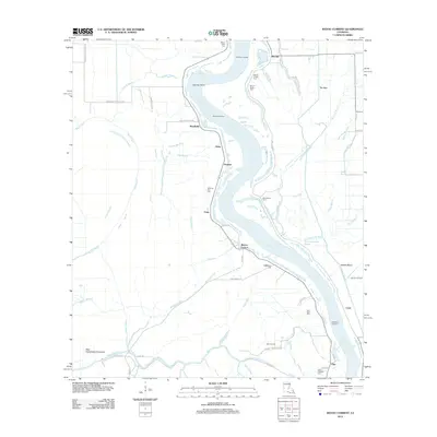
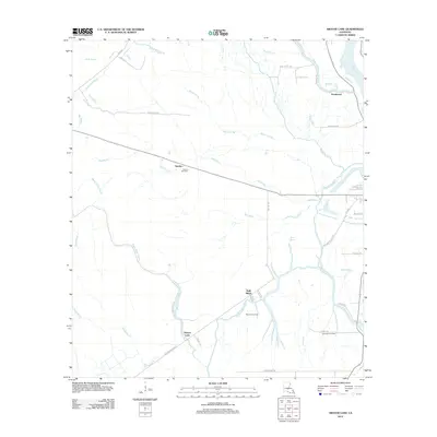
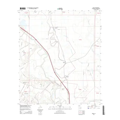
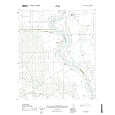
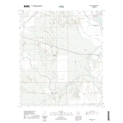
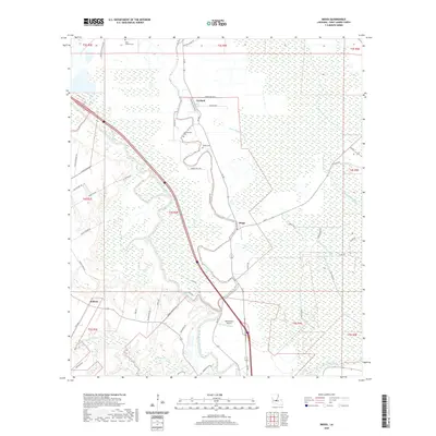
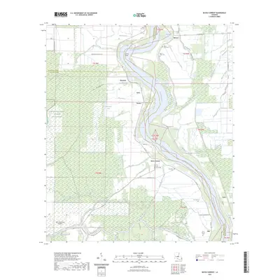
1970 Map of Portage
USGS Topo · Published 1986About this map
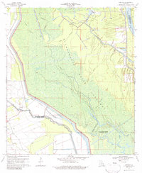
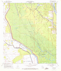
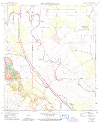
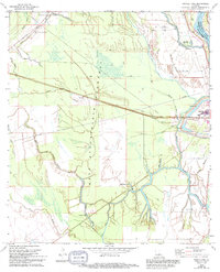
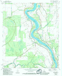
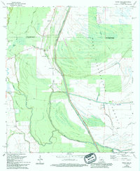
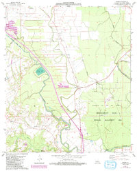
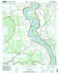
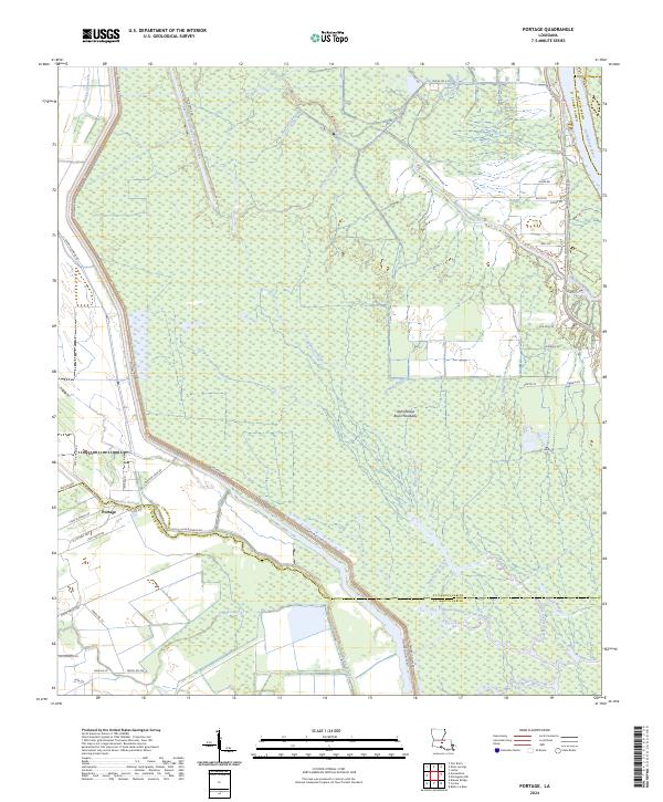
The Atchafalaya Basin Floodway dominates this 1970 survey, revealing a landscape defined by the intersection of natural wetlands and industrial management in Louisiana. Situated along the border of St. Landry and St. Martin Parishes, the settlement of Portage sits protected by an extensive Levee system. This era highlights the area's economic reliance on the environment, seen in the Krotz Springs Oil and Gas Field and a localized Crawfish Farm. The hydrological complexity of the basin is evident through a maze of waterways, including Bayou Courtableu, Bayou Fordoche, and the engineered Courtableu Outlet Channel. Collectors will notice the intricate naming of water bodies such as of the Swamps Bayou and Little Bayou Fordoche, which illustrate the density of the swamp terrain before modern drainage further altered the Atchafalaya River corridor.
Find a feature on this map
25 named features on this map. Tap any name to fly to it.
Don’t see what you’re looking for? This feature index may not catch every label — zoom into the map to look around manually.
Map Details
Editions of this 1970 Portage Map
2 editions found
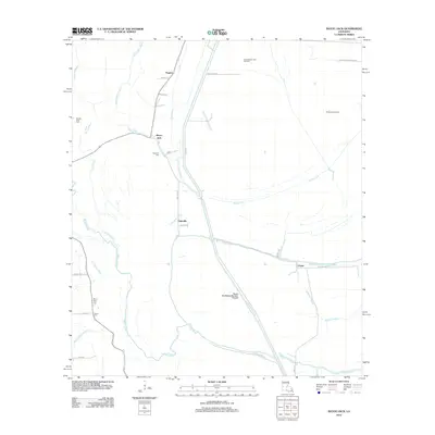
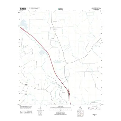
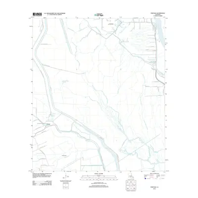
Historical Maps of Portage Through Time
38 maps found
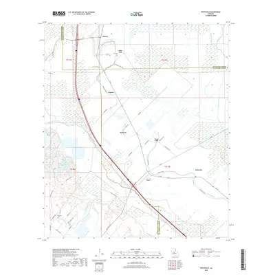
1966 Whiteville
St. Landry Parish, LA
1968 Swayze Lake
St. Landry Parish, LA
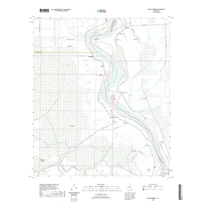
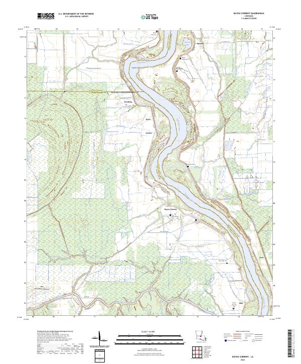
1969 Bayou Current
St. Landry Parish, LA
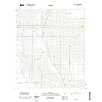
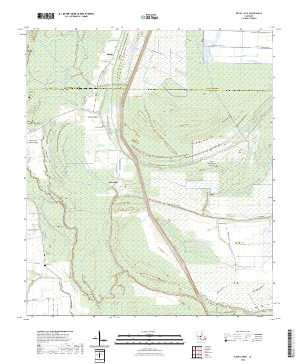
1969 Bayou Jack
St. Landry Parish, LA
1970 Portage
St. Landry Parish, LA
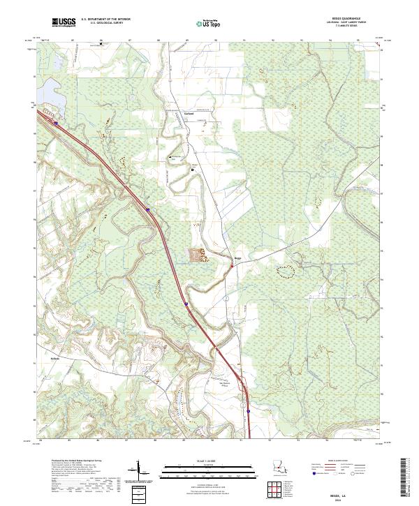
1983 Beggs
St. Landry Parish, LA
1998 Bayou Current
St. Landry Parish, LA
2012 Bayou Current
St. Landry Parish, LA
2012 Bayou Jack
St. Landry Parish, LA
2012 Beggs
St. Landry Parish, LA
2012 Portage
St. Landry Parish, LA
2012 Swayze Lake
St. Landry Parish, LA
2012 Whiteville
St. Landry Parish, LA
2015 Bayou Current
St. Landry Parish, LA
2015 Bayou Jack
St. Landry Parish, LA
2015 Beggs
St. Landry Parish, LA
2015 Portage
St. Landry Parish, LA
2015 Swayze Lake
St. Landry Parish, LA
2015 Whiteville
St. Landry Parish, LA
2018 Bayou Current
St. Landry Parish, LA
2018 Bayou Jack
St. Landry Parish, LA
2018 Beggs
St. Landry Parish, LA
2018 Portage
St. Landry Parish, LA
2018 Swayze Lake
St. Landry Parish, LA
2018 Whiteville
St. Landry Parish, LA
2020 Bayou Current
St. Landry Parish, LA
2020 Bayou Jack
St. Landry Parish, LA
2020 Beggs
St. Landry Parish, LA
2020 Portage
St. Landry Parish, LA
2020 Swayze Lake
St. Landry Parish, LA
2020 Whiteville
St. Landry Parish, LA
2023 Bayou Current
St. Landry Parish, LA
2024 Bayou Current
St. Landry Parish, LA
2024 Bayou Jack
St. Landry Parish, LA
2024 Beggs
St. Landry Parish, LA
2024 Portage
St. Landry Parish, LA
2024 Swayze Lake
St. Landry Parish, LA
2024 Whiteville
St. Landry Parish, LA