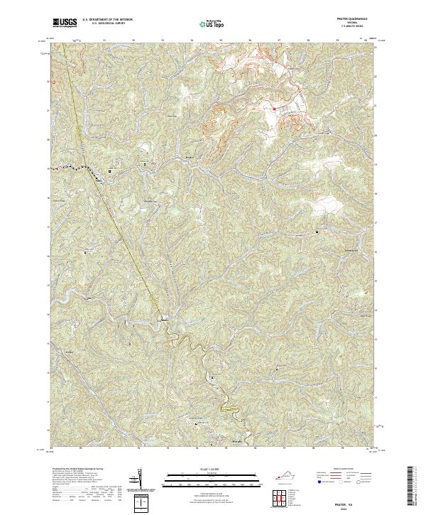
2022 Map of Prater
USGS Topo · Published 2022About this map
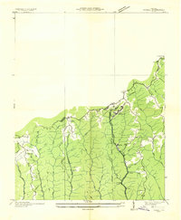
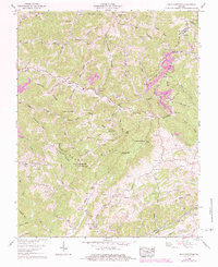
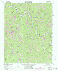
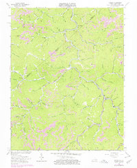
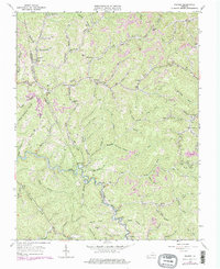
Russell Fork River winds through the borderlands of Buchanan and Dickenson counties, carving a path between ridges that define this Appalachian landscape. The terrain is characterized by steep elevation changes, with named gaps like Poplar Gap, Low Gap, and Lovers Gap providing natural passage through the high country. Small settlements such as Prater, Vicey, and Viers are concentrated primarily along the creek bottoms and river banks, reflecting a classic mountain distribution pattern where habitable land follows the water.
Find a feature on this map
55 named features on this map. Tap any name to fly to it.
Don’t see what you’re looking for? This feature index may not catch every label — zoom into the map to look around manually.
Map Details
Editions of this 2022 Prater Map
This is the sole edition of this map. No revisions or reprints were ever made.
Historical Maps of Viers Through Time
22 maps found

1914 Bucu
Buchanan County, VA

1914 Hurley
Buchanan County, VA
1915 Hurley
Buchanan County, VA

1916 Bucu
Buchanan County, VA
1917 Hurley
Buchanan County, VA
1935 Big A Mountain
Buchanan County, VA
1935 Jewell
Buchanan County, VA
1935 Pistol Gap
Buchanan County, VA
1954 Harman
Buchanan County, VA
1954 Hurley
Buchanan County, VA
1958 Big A Mountain
Buchanan County, VA
1963 Harman
Buchanan County, VA
1963 Hurley
Buchanan County, VA
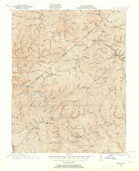
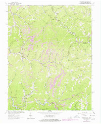
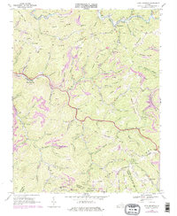
1963 Prater
Buchanan County, VA
1964 Patterson
Buchanan County, VA
1968 Keen Mountain
Buchanan County, VA
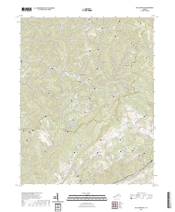
2022 Big A Mountain
Buchanan County, VA
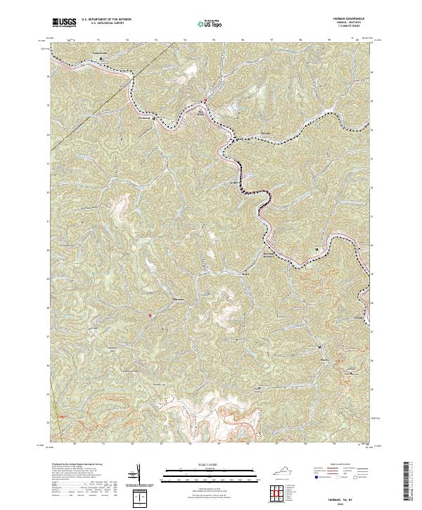
2022 Harman
Buchanan County, VA
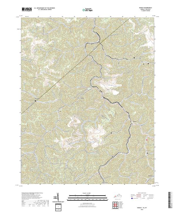
2022 Hurley
Buchanan County, VA
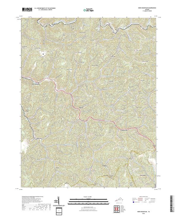
2022 Keen Mountain
Buchanan County, VA
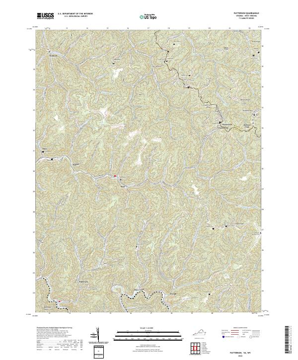
2022 Patterson
Buchanan County, VA
2022 Prater
Buchanan County, VA