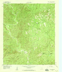
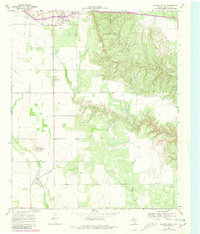
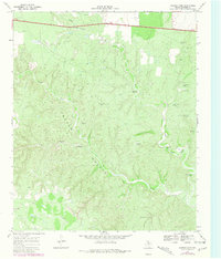
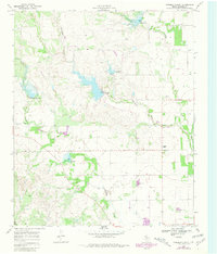
1958 Map of Pursley House
USGS Topo · Published 1959This historical map portrays the area of Pursley House in 1958, primarily covering Dickens County as well as portions of Stonewall County, Kent County, and King County. Featuring a scale of 1:24000, this map provides a highly detailed snapshot of the terrain, roads, buildings, counties, and historical landmarks in the Pursley House region at the time. Published in 1959, it is one of 2 known editions of this map due to revisions or reprints.
Find a feature on this map
34 named features on this map. Tap any name to fly to it.
Don’t see what you’re looking for? This feature index may not catch every label — zoom into the map to look around manually.
Map Details
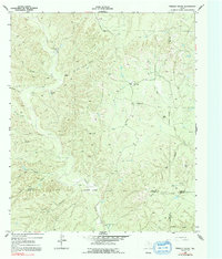
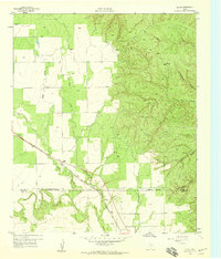
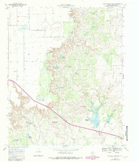
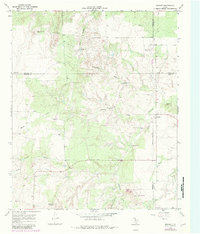
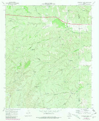
Editions of this 1958 Pursley House Map
2 editions found
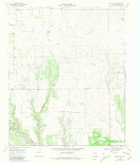
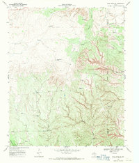
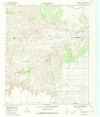
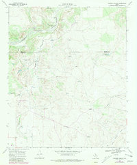
Historical Maps of Stonewall County Through Time
15 maps found
1958 Pursley House
Dickens County, TX
1959 Gilpin
Dickens County, TX
1967 Dickens North
Dickens County, TX
1967 Dickens South
Dickens County, TX
1967 Haystack Mountain
Dickens County, TX
1967 Spur NW
Dickens County, TX
1968 Afton
Dickens County, TX
1968 Croton Camp
Dickens County, TX
1968 Dumont
Dickens County, TX
1968 East Afton
Dickens County, TX
1968 East Afton NE
Dickens County, TX
1968 Foreman Chapel
Dickens County, TX
1968 Pitchfork Ranch
Dickens County, TX
1968 Rustler Camp
Dickens County, TX
1968 Sanders Hollow
Dickens County, TX