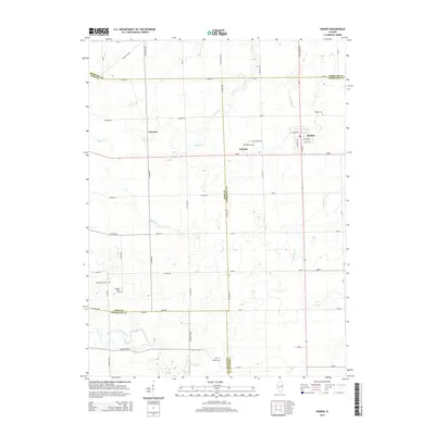
2015 Map of Rankin
USGS Topo · Published 2015About this map
Rankin serves as the primary population center in this corner of East Central Illinois, where the agricultural landscape is defined by a grid of rural roads and five distinct cemeteries that anchor the local genealogy. The village is flanked by the smaller settlements of Clarence to the west and Pellville to the south, the latter marked by its namesake Pellville Cem. The terrain is drained by several meandering waterways, including Whisky Cr and Sugar Cr, while the Middle Fork Vermilion River cuts across the southern portion of the quadrangle.
Find a feature on this map
29 named features on this map. Tap any name to fly to it.
Don’t see what you’re looking for? This feature index may not catch every label — zoom into the map to look around manually.
Map Details
Editions of this 2015 Rankin Map
This is the sole edition of this map. No revisions or reprints were ever made.
Other maps of this area

1924 · Paxton
USGS Topo · 1:62,500

1927 · Paxton
USGS Topo · 1:62,500

1936 · Potomac
USGS Topo · 1:62,500

1939 · Cissna Park
USGS Topo · 1:62,500

1948 · Buckley
USGS Topo · 1:62,500

1949 · Cissna Park
USGS Topo · 1:62,500

1949 · Buckley
USGS Topo · 1:62,500

1949 · Paxton
USGS Topo · 1:62,500

1953 · Danville
USGS Topo · 1:250,000

1955 · Danville
USGS Topo · 1:250,000