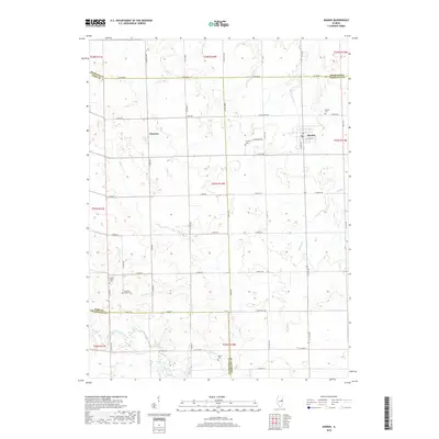
2018 Map of Rankin
USGS Topo · Published 2018About this map
Rankin serves as the primary focal point of this east-central Illinois landscape, where four counties—Iroquois, Ford, Vermilion, and Champaign—converge. The settlement pattern is defined by a dense grid of rural roads, including Co Rd 4300 N and N 2700E Rd, which connect small communities like Clarence to the surrounding agricultural lands. The terrain is marked by several meandering waterways, such as Whisky Cr and Button Cr, which eventually give way to the Middle Fork Vermilion River in the southwestern corner.
Find a feature on this map
62 named features on this map. Tap any name to fly to it.
Don’t see what you’re looking for? This feature index may not catch every label — zoom into the map to look around manually.
Map Details
Editions of this 2018 Rankin Map
This is the sole edition of this map. No revisions or reprints were ever made.
Other maps of this area

1924 · Paxton
USGS Topo · 1:62,500

1927 · Paxton
USGS Topo · 1:62,500

1936 · Potomac
USGS Topo · 1:62,500

1939 · Cissna Park
USGS Topo · 1:62,500

1948 · Buckley
USGS Topo · 1:62,500

1949 · Cissna Park
USGS Topo · 1:62,500

1949 · Buckley
USGS Topo · 1:62,500

1949 · Paxton
USGS Topo · 1:62,500

1953 · Danville
USGS Topo · 1:250,000

1955 · Danville
USGS Topo · 1:250,000