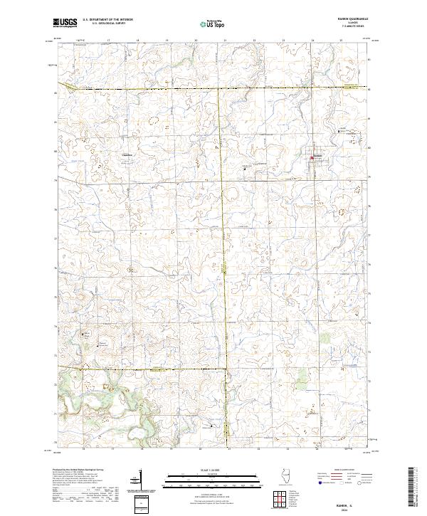
2024 Map of Rankin
USGS Topo · Published 2024About this map
Rankin and Clarence sit at the intersection of several county lines where the East-Central Illinois prairie transitions into the drainage basins of the Middle Fork Vermilion River. This modern survey reveals a landscape deeply defined by its agricultural grid and the subtle waterways that crisscross it, including Sugar Creek, Pigeon Creek, and Whisky Creek. The placement of numerous small burial grounds, such as Union Cem, Pellville Cem, and Patton Cem, suggests the locations of earlier rural communities and family homesteads that once anchored these townships. The intricate road network, composed of numerical rural routes like Co Rd 3600 N and N 270 E Rd, provides a precise framework for locating specific historical parcels and property lines across Ford, Iroquois, Vermilion, and Champaign counties.
Find a feature on this map
60 named features on this map. Tap any name to fly to it.
Don’t see what you’re looking for? This feature index may not catch every label — zoom into the map to look around manually.
Map Details
Editions of this 2024 Rankin Map
This is the sole edition of this map. No revisions or reprints were ever made.
Other maps of this area

1924 · Paxton
USGS Topo · 1:62,500

1927 · Paxton
USGS Topo · 1:62,500

1936 · Potomac
USGS Topo · 1:62,500

1939 · Cissna Park
USGS Topo · 1:62,500

1948 · Buckley
USGS Topo · 1:62,500

1949 · Cissna Park
USGS Topo · 1:62,500

1949 · Buckley
USGS Topo · 1:62,500

1949 · Paxton
USGS Topo · 1:62,500

1953 · Danville
USGS Topo · 1:250,000

1955 · Danville
USGS Topo · 1:250,000