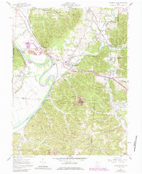
1961 Map of Richmond Dale
USGS Topo · Published 1985About this map
The Scioto River valley defines this region of southern Ohio, where the confluence of Walnut Creek and Salt Creek created a vital corridor for early transportation. The village of Richmond Dale serves as a central hub, historically supported by the intersecting lines of the Baltimore and Ohio, Chesapeake and Ohio, and Norfolk and Western railroads. These rail networks reflect the industrial character of the mid-20th century, connecting small settlements like Rittenours and Vigo to larger markets.
Find a feature on this map
71 named features on this map. Tap any name to fly to it.
Don’t see what you’re looking for? This feature index may not catch every label — zoom into the map to look around manually.
Map Details
Editions of this 1961 Richmond Dale Map
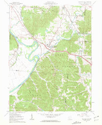
2 editions found
Other maps of this area

1906 · Waverly
USGS Topo · 1:62,500

1906 · Chillicothe
USGS Topo · 1:62,500

1908 · Chillicothe
USGS Topo · 1:62,500

1908 · Waverly
USGS Topo · 1:62,500

1910 · Laurelville
USGS Topo · 1:62,500

1912 · Laurelville
USGS Topo · 1:62,500

1913 · Jackson
USGS Topo · 1:62,500

1944 · Jackson
USGS Topo · 1:62,500

1944 · Laurelville
USGS Topo · 1:62,500

1947 · Columbus
USGS Topo · 1:250,000