
1899 Map of Rico
USGS Topo · Published 1899About this map
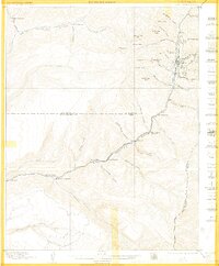
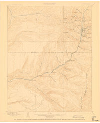
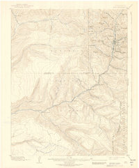
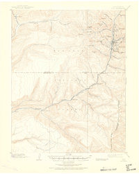
The mining center of Rico serves as the focal point for this late nineteenth-century survey, situated along the upper reaches of the West Dolores River. The landscape is dominated by the steep peaks of the San Juan Mountains, including Expectation Mt. and Storm Peak, while the industrial connectivity of the era is represented by the Rio Grande Southern railroad winding through the river valley. Numerous family holdings and ranching outposts like Waechter's Ranch, Snyder's Ranch, and King's Ranch are documented, illustrating the early settlement patterns that followed the mining boom.
Find a feature on this map
53 named features on this map. Tap any name to fly to it.
Don’t see what you’re looking for? This feature index may not catch every label — zoom into the map to look around manually.
Map Details
Editions of this 1899 Rico Map
5 editions found
Other maps of this area

1895 · La Plata
USGS Topo · 1:62,500

1897 · La Plata
USGS Topo · 1:62,500

1897 · Rico
USGS Topo · 1:62,500

1897 · Telluride
USGS Topo · 1:62,500

1898 · Durango
USGS Topo · 1:62,500

1898 · Engineer Mountain
USGS Topo · 1:62,500

1898 · Rico
USGS Topo · 1:62,500

1899 · La Plata
USGS Topo · 1:62,500

1900 · Engineer Mountain
USGS Topo · 1:62,500

1904 · Telluride
USGS Topo · 1:62,500