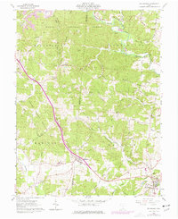
1961 Map of Rio Grande
USGS Topo · Published 1977About this map
Wayne National Forest dominates the northern reaches of this Gallia County landscape, where the topography is defined by the winding course of Little Raccoon Creek and its many tributaries like Keeton Run and Hungry Run. The 1961 survey, updated in the mid-1970s, captures the rural character of southeastern Ohio as it transitioned through a period of persistent coal extraction. Evidence of this industry is scattered across the terrain, from the Keystone Mine and various strip mines in the north to a Borrow Pit further south.
Find a feature on this map
71 named features on this map. Tap any name to fly to it.
Don’t see what you’re looking for? This feature index may not catch every label — zoom into the map to look around manually.
Map Details
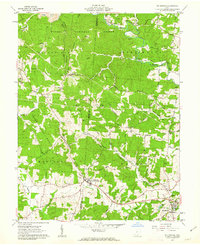
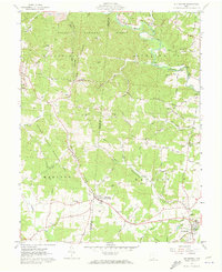
Editions of this 1961 Rio Grande Map
Other maps of this area

1905 · Wilkesville
USGS Topo · 1:62,500

1906 · Bidwell
USGS Topo · 1:62,500

1908 · Bidwell
USGS Topo · 1:62,500

1908 · Wilkesville
USGS Topo · 1:62,500

1912 · Oak Hill
USGS Topo · 1:62,500

1913 · Jackson
USGS Topo · 1:62,500

1944 · Jackson
USGS Topo · 1:62,500

1947 · Columbus
USGS Topo · 1:250,000

1957 · Huntington
USGS Topo · 1:250,000

1960 · Huntington
USGS Topo · 1:250,000