
1891 Map of Roanoke
USGS Topo · Published 1891About this map
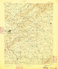
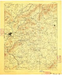
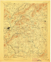
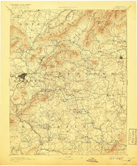
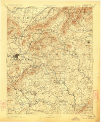
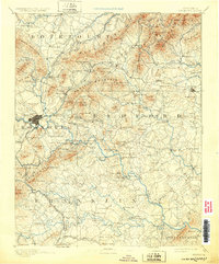
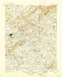
Roanoke serves as a central hub in this late nineteenth-century landscape, where the confluence of the Shenandoah Valley Railroad and Norfolk and Western Railroad drove rapid development. The surrounding Blue Ridge terrain is dotted with industry and institution, notably the Rorer Mines and the Hollins Inst. near Botetourt Sprs.. Beyond the growing rail centers like Vinton and Bonsacks, the map reveals a traditional river economy.
Find a feature on this map
230 named features on this map. Tap any name to fly to it.
Don’t see what you’re looking for? This feature index may not catch every label — zoom into the map to look around manually.
Map Details
Editions of this 1891 Roanoke Map
8 editions found
Other maps of this area

1887 · Lewisburg
USGS Topo · 1:125,000

1890 · Roanoke
USGS Topo · 1:125,000

1890 · Christiansburg
USGS Topo · 1:125,000

1891 · Lewisburg
USGS Topo · 1:125,000

1892 · Lynchburg
USGS Topo · 1:125,000

1894 · Natural Bridge
USGS Topo · 1:125,000

1894 · Lexington
USGS Topo · 1:125,000

1894 · Natural Bridge
USGS Topo · 1:62,500

1907 · Natural Bridge Special
USGS Topo · 1:62,500

1913 · Eagle Rock
USGS Topo · 1:48,000