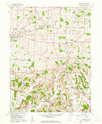
1960 Map of Robertsville
USGS Topo · Published 1961About this map
Louisville and Robertsville anchor this Stark County landscape as it appeared in the early 1960s, a region defined by its industrial activity and agricultural roots. The southern half of the map reveals a heavy concentration of extraction sites, including numerous labels for Strip Mine, several Mines, and a Brickyard near the New York Chicago and St Louis rail line. This industrial presence contrasts with the rural character of the north, where small settlements like Maximo and Freeburg are connected by the Pennsylvania railroad.
Find a feature on this map
50 named features on this map. Tap any name to fly to it.
Don’t see what you’re looking for? This feature index may not catch every label — zoom into the map to look around manually.
Map Details
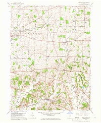
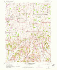
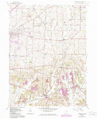
Editions of this 1960 Robertsville Map
4 editions found
Other maps of this area

1901 · Canton
USGS Topo · 1:62,500

1903 · Canton
USGS Topo · 1:62,500

1909 · Alliance
USGS Topo · 1:62,500

1910 · Carrollton
USGS Topo · 1:62,500

1912 · Dover
USGS Topo · 1:62,500

1912 · Carrollton
USGS Topo · 1:62,500

1944 · Dover
USGS Topo · 1:62,500

1951 · Canton
USGS Topo · 1:250,000

1952 · Alliance
USGS Topo · 1:24,000

1953 · Canton
USGS Topo · 1:250,000