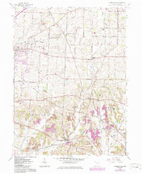
1960 Map of Robertsville
USGS Topo · Published 1985About this map
Louisville and Paris anchor this 1960s study of eastern Stark County, a landscape where early agricultural roots meet mid-century development. The survey reveals a dense network of family and community landmarks, including several rural burial grounds such as Beech Cem, Union Cem, and Snyder Cem. The presence of the Conrail and Norfolk and Western rail lines underscores the region's industrial connectivity, supporting the Freeburg Station and various strip mines that mark the southern terrain. Waterways like Nimishillen Creek and Little Sandy Creek define the drainage patterns across Nimishillen and Osnaburg townships. Notable local features like Yoder Airport and the Edgewater Golf Course illustrate the recreational and transportation shifts occurring as the area evolved between the initial 1952 aerial photography and 1980s revisions.
Find a feature on this map
47 named features on this map. Tap any name to fly to it.
Don’t see what you’re looking for? This feature index may not catch every label — zoom into the map to look around manually.
Map Details
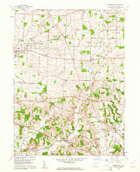
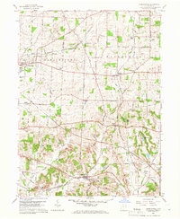
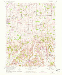
Editions of this 1960 Robertsville Map
4 editions found
Other maps of this area

1901 · Canton
USGS Topo · 1:62,500

1903 · Canton
USGS Topo · 1:62,500

1909 · Alliance
USGS Topo · 1:62,500

1910 · Carrollton
USGS Topo · 1:62,500

1912 · Dover
USGS Topo · 1:62,500

1912 · Carrollton
USGS Topo · 1:62,500

1944 · Dover
USGS Topo · 1:62,500

1951 · Canton
USGS Topo · 1:250,000

1952 · Alliance
USGS Topo · 1:24,000

1953 · Canton
USGS Topo · 1:250,000