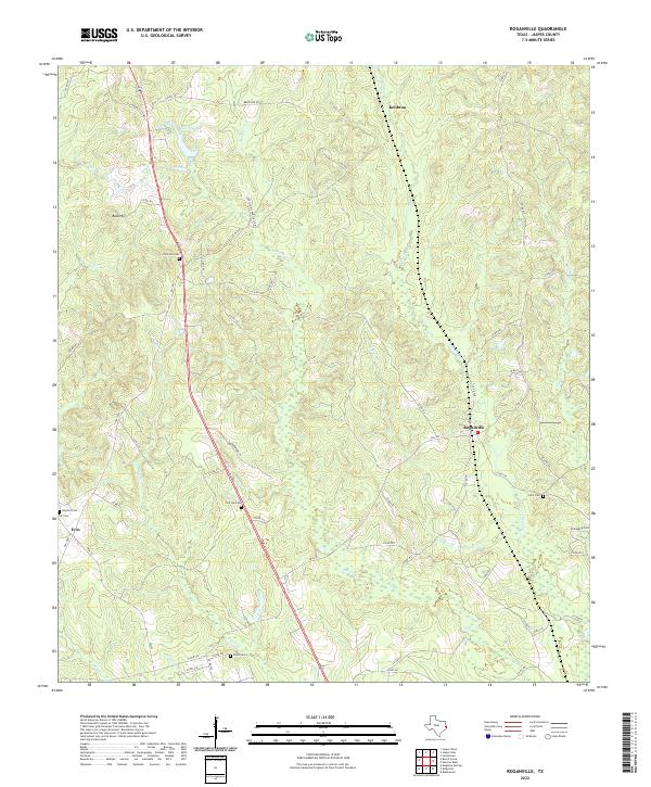
2022 Map of Roganville
USGS Topo · Published 2022About this map
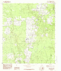
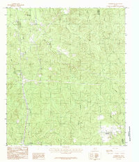
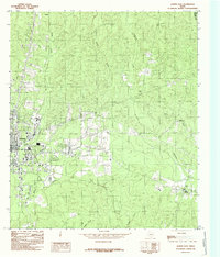
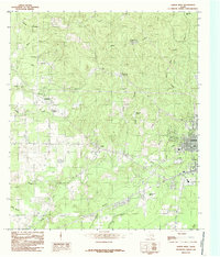
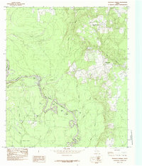
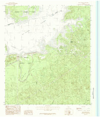
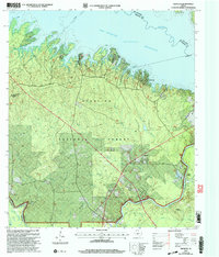
Roganville and the surrounding piney woods of Jasper County are defined by a network of rural routes and creek drainages that have supported local timber and hunting interests for generations. The landscape is characterized by a high concentration of family and community burial grounds, including Zion Hill Cem, Kyle Cem, and Friendship Cem, which offer significant value for genealogical research in this part of East Texas. The terrain rises to Bald Hill in the west, while the eastern portion of the map is intersected by the winding paths of Thickety Cr and Clare Cr. These waterways, alongside smaller runs like Little Walnut Run, dictate the placement of local roads such as Old Kirbyville Hwy. The presence of the Very Simms Huntin Club reflects the area's long-standing land-use patterns, while small settlements like Keithton and Erin anchor the intersecting farm-to-market roads.
Find a feature on this map
63 named features on this map. Tap any name to fly to it.
Don’t see what you’re looking for? This feature index may not catch every label — zoom into the map to look around manually.
Map Details
Editions of this 2022 Roganville Map
This is the sole edition of this map. No revisions or reprints were ever made.
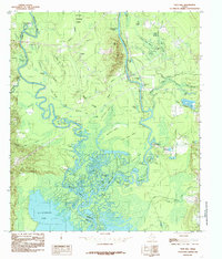
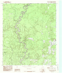
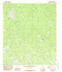
Historical Maps of Keithton Through Time
31 maps found
1955 Curtis
Jasper County, TX
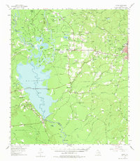
1955 Roganville
Jasper County, TX
1984 Beech Grove
Jasper County, TX
1984 Call Junction
Jasper County, TX
1984 Ebenezer
Jasper County, TX
1984 Franklin Lake
Jasper County, TX
1984 Gist
Jasper County, TX
1984 Harrisburg
Jasper County, TX
1984 Jasper East
Jasper County, TX
1984 Jasper West
Jasper County, TX
1984 Magnolia Springs
Jasper County, TX
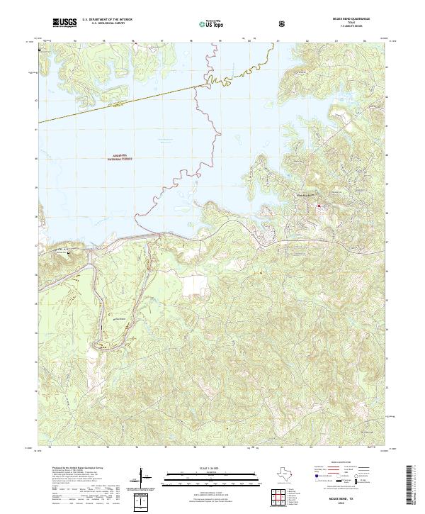
1984 McGee Bend
Jasper County, TX
1984 Pace Hill
Jasper County, TX
1984 Potato Patch Lake
Jasper County, TX
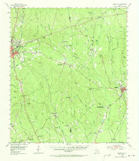
1984 Roganville
Jasper County, TX
2003 Ebenezer
Jasper County, TX
2003 McGee Bend
Jasper County, TX
2003 Pace Hill
Jasper County, TX
2022 Beech Grove
Jasper County, TX
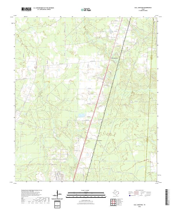
2022 Call Junction
Jasper County, TX
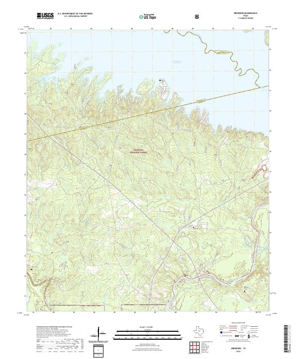
2022 Ebenezer
Jasper County, TX
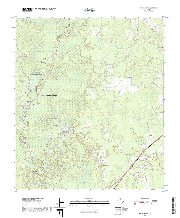
2022 Franklin Lake
Jasper County, TX
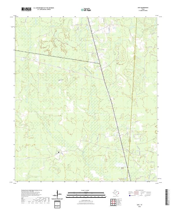
2022 Gist
Jasper County, TX
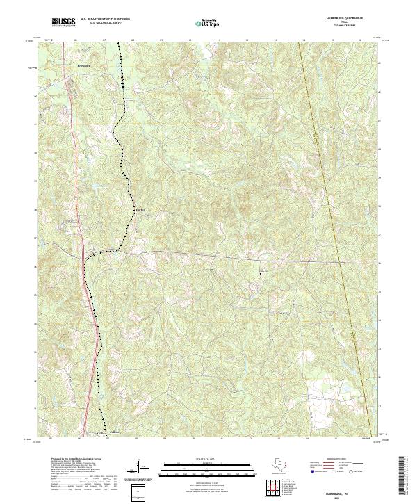
2022 Harrisburg
Jasper County, TX
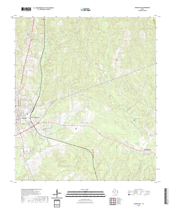
2022 Jasper East
Jasper County, TX
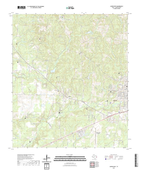
2022 Jasper West
Jasper County, TX
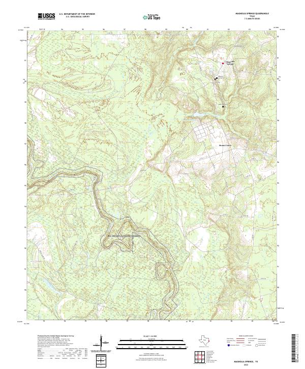
2022 Magnolia Springs
Jasper County, TX
2022 McGee Bend
Jasper County, TX
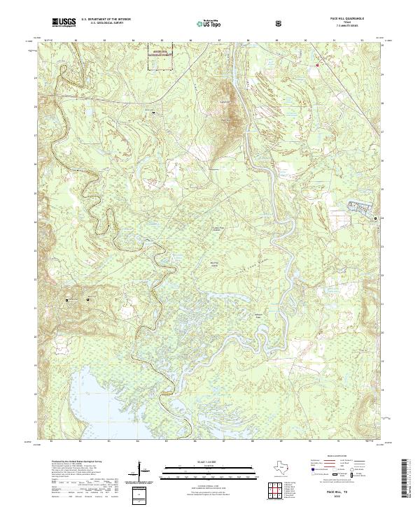
2022 Pace Hill
Jasper County, TX
2022 Roganville
Jasper County, TX
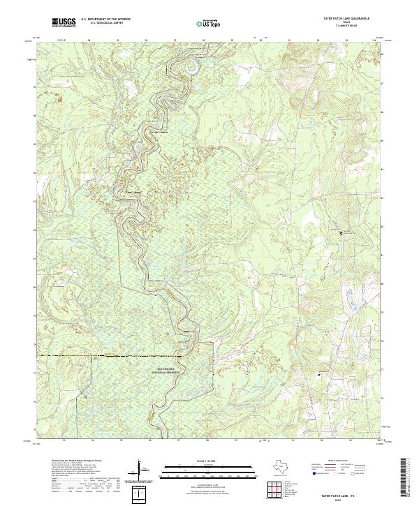
2022 Tater Patch Lake
Jasper County, TX