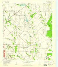
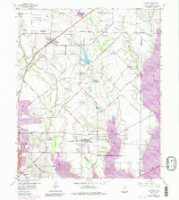
1959 Map of Rowlett
USGS Topo · Published 1960About this map
Rowlett and the surrounding North Texas blackland prairie appear here in the late 1950s, a landscape defined by the winding drainages of Muddy Creek and Rowlett Creek. The area is a mosaic of small farming communities and family landmarks, with Pleasant Valley and Liberty Grove serving as local hubs. This era shows the transition of Garland into a more suburban footprint, while older centers like Sachse maintain their identity along the Gulf Colorado and Santa Fe railroad line.
Find a feature on this map
48 named features on this map. Tap any name to fly to it.
Don’t see what you’re looking for? This feature index may not catch every label — zoom into the map to look around manually.
Map Details
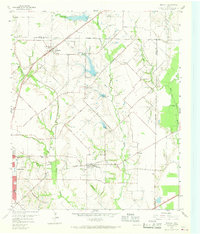
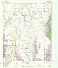
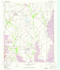
Editions of this 1959 Rowlett Map
6 editions found
Other maps of this area

1891 · Dallas
USGS Topo · 1:125,000

1893 · Dallas
USGS Topo · 1:125,000

1912 · Rockwall
USGS Topo · 1:31,680

1919 · Royse City
USGS Topo · 1:62,500

1924 · Farmersville 3-c
USGS Topo · 1:48,000

1924 · Mc Kinney 4-d
USGS Topo · 1:48,000

1929 · McKinney
USGS Topo · 1:62,500

1930 · Farmersville
USGS Topo · 1:62,500

1954 · Dallas
USGS Topo · 1:250,000

1954 · Sherman
USGS Topo · 1:250,000