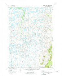
1954 Map of Russian Mission A-4
USGS Topo · Published 1975About this map
Birch Slough meanders through a vast network of water bodies in this mid-century survey of the Alaska interior. The landscape is defined by the shifting hydrology of the region, where a prominent Winter Trail cuts across the northern terrain, indicating the vital seasonal transportation routes used before modern infrastructure. To the north, Bogus Creek flows through the lowlands, while the eastern edge of the map rises into more varied topography. This area includes the distinct Mary Lou Gulch and the geodetic marker at Vabm 184. The map, based on aerial photography from the early 1950s with minor revisions through 1973, captures a wilderness landscape largely shaped by its seasonal waterways and traditional overland paths.
Find a feature on this map
5 named features on this map. Tap any name to fly to it.
Don’t see what you’re looking for? This feature index may not catch every label — zoom into the map to look around manually.
Map Details
Editions of this 1954 Russian Mission A-4 Map
3 editions found
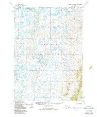
Other maps of this area

1947 · Russian Mission
USGS Topo · 1:250,000

1950 · Russian Mission
USGS Topo · 1:250,000

1950 · Bethel
USGS Topo · 1:250,000

1952 · Russian Mission B-3
USGS Topo · 1:63,360

1954 · Russian Mission A-4
USGS Topo · 1:63,360

1954 · Russian Mission B-5
USGS Topo · 1:63,360

1954 · Russian Mission A-5
USGS Topo · 1:63,360

1954 · Russian Mission B-4
USGS Topo · 1:63,360

1954 · Bethel D-4
USGS Topo · 1:63,360

1954 · Bethel D-5
USGS Topo · 1:63,360