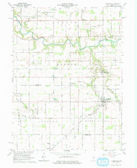
1961 Map of Russiaville
USGS Topo · Published 1976About this map
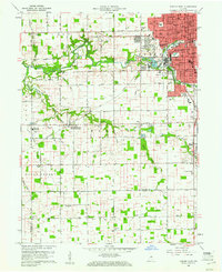
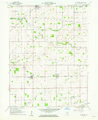
Russiaville sits at the heart of this landscape, where the agricultural grid of Howard and Clinton Counties meets the meandering paths of Wildcat Creek and Honey Creek. Surveyed in the early 1960s, the map reveals a well-established rural network defined by its small community centers and country institutions. The New York Chicago and St Louis railroad cuts a diagonal path through the southern township of Honey Creek, serving the grain storage and shipping needs of the era near Forest.
Find a feature on this map
39 named features on this map. Tap any name to fly to it.
Don’t see what you’re looking for? This feature index may not catch every label — zoom into the map to look around manually.
Map Details
Editions of this 1961 Russiaville Map
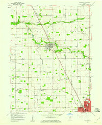
Other maps of this area

1953 · Danville
USGS Topo · 1:250,000

1955 · Danville
USGS Topo · 1:250,000

1956 · Danville
USGS Topo · 1:250,000
1959 · Galveston
USGS Topo · 1:24,000
1959 · Young America
USGS Topo · 1:24,000
1960 · Kokomo West
USGS Topo · 1:24,000
1960 · Kempton
USGS Topo · 1:24,000
1961 · Michigantown
USGS Topo · 1:24,000
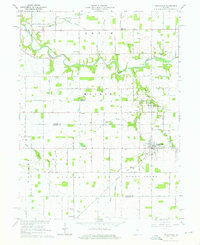
1961 · Russiaville
USGS Topo · 1:24,000
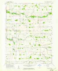
1961 · Hillisburg
USGS Topo · 1:24,000