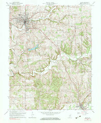
1963 Map of Salem
USGS Topo · Published 1983About this map
The Monon railroad corridor defines the development of central Washington County, connecting the county seat of Salem to outlying settlements like Harristown and Farabee. This 1963 revision shows the community at a transition point where the traditional agricultural landscape began to incorporate new infrastructure, such as the Radio Towers (WSLM) and a local Landing Field. Water resources remain central to the area's geography, anchored by Lake Salinda and the branching network of the Blue River, including its West Fork and Middle Fork.
Find a feature on this map
40 named features on this map. Tap any name to fly to it.
Don’t see what you’re looking for? This feature index may not catch every label — zoom into the map to look around manually.
Map Details
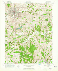
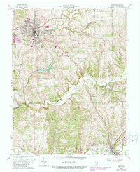
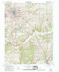
Editions of this 1963 Salem Map
4 editions found
Other maps of this area

1941 · Borden
USGS Topo · 1:24,000

1950 · Salem
USGS Topo · 1:24,000

1950 · Becks Mill
USGS Topo · 1:24,000

1950 · Palmyra
USGS Topo · 1:24,000

1951 · Smedley
USGS Topo · 1:24,000

1953 · Fredericksburg
USGS Topo · 1:24,000

1953 · Kossuth
USGS Topo · 1:24,000

1955 · South Boston
USGS Topo · 1:24,000

1956 · Vincennes
USGS Topo · 1:250,000

1956 · Louisville
USGS Topo · 1:250,000