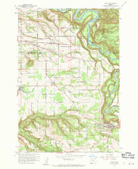
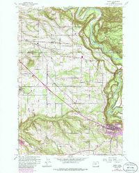
1961 Map of Sandy
USGS Topo · Published 1961About this map
Sandy River currents shape the northern boundary of this 1961 survey, where the waterway winds past Indian John Island near the Multnomah and Clackamas county line. The landscape is defined by a dense network of named roads and small agricultural hubs including Orient, Pleasant Home, and Cottrell. In the southern portion of the quadrangle, the town of Sandy serves as a focal point near Pioneer Park and Tickle Creek.
Find a feature on this map
42 named features on this map. Tap any name to fly to it.
Don’t see what you’re looking for? This feature index may not catch every label — zoom into the map to look around manually.
Map Details
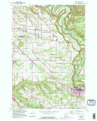
Editions of this 1961 Sandy Map
6 editions found
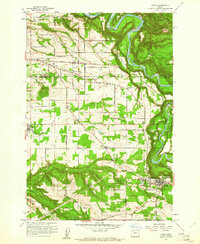
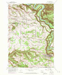
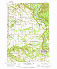
Other maps of this area

1911 · Boring
USGS Topo · 1:48,000

1914 · Boring
USGS Topo · 1:62,500

1916 · Estacada
USGS Topo · 1:125,000

1918 · Troutdale
USGS Topo · 1:62,500

1934 · Troutdale
USGS Topo · 1:48,000

1940 · Boring
USGS Topo · 1:62,500

1941 · Camas
USGS Topo · 1:62,500

1942 · Camas
USGS Topo · 1:62,500

1948 · Vancouver
USGS Topo · 1:250,000

1950 · Vancouver
USGS Topo · 1:250,000