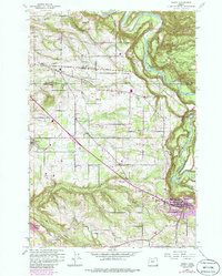
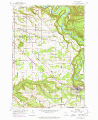
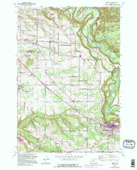
1961 Map of Sandy
USGS Topo · Published 1985About this map
Sandy and the rural agricultural lands of the lower Sandy River valley are depicted here during a period of steady mid-century expansion. The landscape is defined by the deep incisions of Beaver Creek, Johnson Creek, and Tickle Creek as they drain toward the larger river systems. Small communities and crossroads settlements such as Boring, Orient, Kelso, and Cottrell anchor the region, connected by a network of established local thoroughfares including Lusted Road and Dodge Park Blvd.
Find a feature on this map
37 named features on this map. Tap any name to fly to it.
Don’t see what you’re looking for? This feature index may not catch every label — zoom into the map to look around manually.
Map Details
Editions of this 1961 Sandy Map
6 editions found
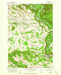
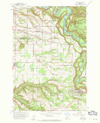
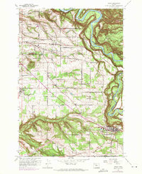
Other maps of this area

1911 · Boring
USGS Topo · 1:48,000

1914 · Boring
USGS Topo · 1:62,500

1916 · Estacada
USGS Topo · 1:125,000

1918 · Troutdale
USGS Topo · 1:62,500

1934 · Troutdale
USGS Topo · 1:48,000

1940 · Boring
USGS Topo · 1:62,500

1941 · Camas
USGS Topo · 1:62,500

1942 · Camas
USGS Topo · 1:62,500

1948 · Vancouver
USGS Topo · 1:250,000

1950 · Vancouver
USGS Topo · 1:250,000