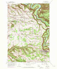
1961 Map of Sandy
USGS Topo · Published 1971About this map
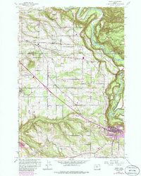
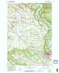
The Sandy River carves a dramatic deep-set course through the northeastern corner of this landscape, creating the prominent Indian John Island and the grounds of Oxbow County Park. This 1961 survey, updated in the early 1970s, illustrates the rural development pattern of the Clackamas and Multnomah county border, where small settlements like Boring, Orient, and Kelso sit at the intersection of local farm-to-market roads. The topography is defined by the complex drainage systems of Tickle Creek, Deep Creek, and Johnson Creek, which segment the agricultural plateau between the river and the rising hills to the west. Local landmarks such as the Cottrell Sch and the community of Pleasant Home provide specific points of reference for genealogists tracking family properties along historic routes like Lusted Road or Victory Road.
Find a feature on this map
33 named features on this map. Tap any name to fly to it.
Don’t see what you’re looking for? This feature index may not catch every label — zoom into the map to look around manually.
Map Details
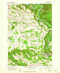
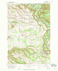
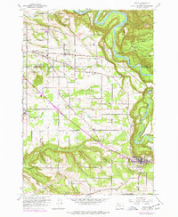
Editions of this 1961 Sandy Map
6 editions found
Other maps of this area

1911 · Boring
USGS Topo · 1:48,000

1914 · Boring
USGS Topo · 1:62,500

1916 · Estacada
USGS Topo · 1:125,000

1918 · Troutdale
USGS Topo · 1:62,500

1934 · Troutdale
USGS Topo · 1:48,000

1940 · Boring
USGS Topo · 1:62,500

1941 · Camas
USGS Topo · 1:62,500

1942 · Camas
USGS Topo · 1:62,500

1948 · Vancouver
USGS Topo · 1:250,000

1950 · Vancouver
USGS Topo · 1:250,000