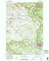
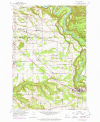
1961 Map of Sandy
USGS Topo · Published 1995About this map
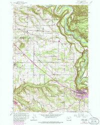
The Sandy River carves a deep, winding canyon through the northeastern reaches of this landscape, separating Oxbow County Park from the surrounding plateau. This 1960s era topographic study, later updated with mid-1980s aerial data, reveals a transition between the developing outskirts of the Portland area and the rural agricultural tracts of Clackamas and Multnomah counties. The southern portion of the map is anchored by the growing community of Sandy, where the intersection of major roads and local landmarks like the Fish Hatchery and Union High Sch indicate a burgeoning regional hub.
Find a feature on this map
36 named features on this map. Tap any name to fly to it.
Don’t see what you’re looking for? This feature index may not catch every label — zoom into the map to look around manually.
Map Details
Editions of this 1961 Sandy Map
6 editions found
Other maps of this area

1911 · Boring
USGS Topo · 1:48,000

1914 · Boring
USGS Topo · 1:62,500

1916 · Estacada
USGS Topo · 1:125,000

1918 · Troutdale
USGS Topo · 1:62,500

1934 · Troutdale
USGS Topo · 1:48,000

1940 · Boring
USGS Topo · 1:62,500

1941 · Camas
USGS Topo · 1:62,500

1942 · Camas
USGS Topo · 1:62,500

1948 · Vancouver
USGS Topo · 1:250,000

1950 · Vancouver
USGS Topo · 1:250,000