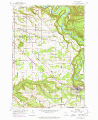
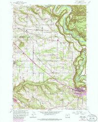
1961 Map of Sandy
USGS Topo · Published 1977About this map
The Sandy River winds through the eastern edge of this landscape, carving a deep valley that separates the plateau farmland from the rising foothills. Centered on the Multnomah Co Clackamas Co line, the area shows a distinct transition from the growing crossroads of Boring and Orient toward the established community of Sandy in the southeast. This 1961 survey, which includes purple revision overlays from the 1970s, captures the evolution of rural agricultural tracts into smaller residential parcels as roads like Dodge Park Blvd and Lusted Road connect these small hubs.
Find a feature on this map
35 named features on this map. Tap any name to fly to it.
Don’t see what you’re looking for? This feature index may not catch every label — zoom into the map to look around manually.
Map Details
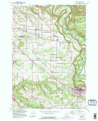
Editions of this 1961 Sandy Map
6 editions found
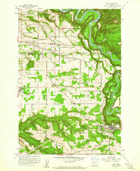
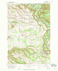
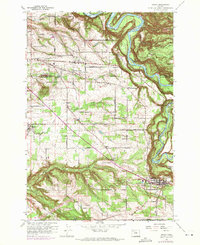
Other maps of this area

1911 · Boring
USGS Topo · 1:48,000

1914 · Boring
USGS Topo · 1:62,500

1916 · Estacada
USGS Topo · 1:125,000

1918 · Troutdale
USGS Topo · 1:62,500

1934 · Troutdale
USGS Topo · 1:48,000

1940 · Boring
USGS Topo · 1:62,500

1941 · Camas
USGS Topo · 1:62,500

1942 · Camas
USGS Topo · 1:62,500

1948 · Vancouver
USGS Topo · 1:250,000

1950 · Vancouver
USGS Topo · 1:250,000