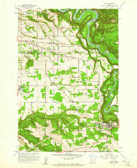
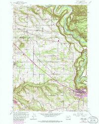
1961 Map of Sandy
USGS Topo · Published 1961About this map
Sandy River meanders through the northeast corner of this landscape, carving a deep valley that separates the Multnomah and Clackamas County line. The terrain is defined by a dense network of tributaries including Tickle Creek, Deep Creek, and Johnson Creek, which cut through the agricultural and residential districts of the early 1960s. The settlement at Sandy serves as a local hub, featuring Pioneer Park and a nearby Fish Hatchery, while the community of Boring sits to the west along the North Fork of Deep Creek.
Find a feature on this map
37 named features on this map. Tap any name to fly to it.
Don’t see what you’re looking for? This feature index may not catch every label — zoom into the map to look around manually.
Map Details
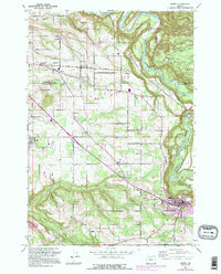
Editions of this 1961 Sandy Map
6 editions found
Other maps of this area

1911 · Boring
USGS Topo · 1:48,000

1914 · Boring
USGS Topo · 1:62,500

1916 · Estacada
USGS Topo · 1:125,000

1918 · Troutdale
USGS Topo · 1:62,500

1934 · Troutdale
USGS Topo · 1:48,000

1940 · Boring
USGS Topo · 1:62,500

1941 · Camas
USGS Topo · 1:62,500

1942 · Camas
USGS Topo · 1:62,500

1948 · Vancouver
USGS Topo · 1:250,000

1950 · Vancouver
USGS Topo · 1:250,000