
1955 Map of Saratoga
USGS Topo · Published 1956About this map
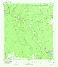
The Saratoga Oil Field and Batson Oil Field anchor this mid-1950s survey of the Big Thicket region, showing the industrial infrastructure of southeast Texas at mid-century. While oil derricks and tanks dominate the areas near Saratoga and Batson, the landscape is defined by a complex network of wetlands and drainage. Names like Jayhawker Baygall and Bass Baygall point to the local ecology of acid bogs, while Dunnie Burnout and Old Hat Burnout suggest the historical impact of fire on these dense woodlands.
Find a feature on this map
48 named features on this map. Tap any name to fly to it.
Don’t see what you’re looking for? This feature index may not catch every label — zoom into the map to look around manually.
Map Details
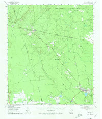
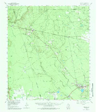
Editions of this 1955 Saratoga Map
4 editions found
Other maps of this area

1943 · Liberty
USGS Topo · 1:125,000

1954 · Beaumont
USGS Topo · 1:250,000

1955 · Daisetta
USGS Topo · 1:62,500

1955 · Kountze
USGS Topo · 1:62,500

1955 · Sour Lake
USGS Topo · 1:62,500

1955 · Rayburn
USGS Topo · 1:62,500

1955 · Liberty
USGS Topo · 1:62,500

1957 · Beaumont
USGS Topo · 1:250,000

1958 · Livingston
USGS Topo · 1:62,500

1958 · Segno
USGS Topo · 1:62,500