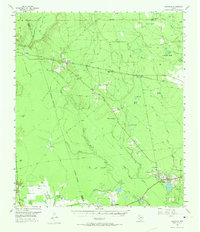
1955 Map of Saratoga
USGS Topo · Published 1974About this map
Saratoga Oil Field and the Batson Oil Field anchor the southern landscape of this mid-century survey, reflecting the intensive energy extraction that defined the Hardin County economy. Settlement clusters at Saratoga and Batson are surrounded by a complex network of pipelines and drainage features, including the meandering Pine Island Bayou and Shinglemill Slough. The industrial presence is balanced by several community landmarks, such as Mt Calvary Ch and multiple family burial grounds like Middle Town Cem and Sutton Cem.
Find a feature on this map
46 named features on this map. Tap any name to fly to it.
Don’t see what you’re looking for? This feature index may not catch every label — zoom into the map to look around manually.
Map Details
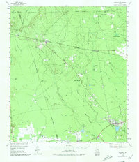
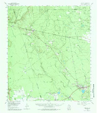
Editions of this 1955 Saratoga Map
4 editions found
Other maps of this area

1943 · Liberty
USGS Topo · 1:125,000

1954 · Beaumont
USGS Topo · 1:250,000

1955 · Daisetta
USGS Topo · 1:62,500

1955 · Saratoga
USGS Topo · 1:62,500

1955 · Kountze
USGS Topo · 1:62,500

1955 · Sour Lake
USGS Topo · 1:62,500

1955 · Rayburn
USGS Topo · 1:62,500

1955 · Liberty
USGS Topo · 1:62,500

1957 · Beaumont
USGS Topo · 1:250,000

1958 · Livingston
USGS Topo · 1:62,500