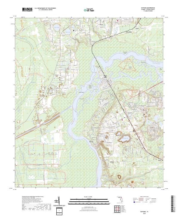
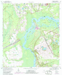
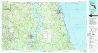
2024 Map of Satsuma
USGS Topo · Published 2024About this map
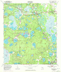
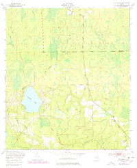
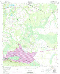
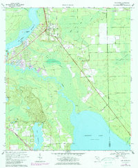
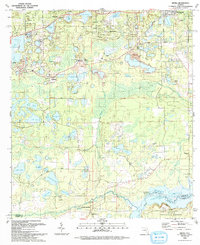
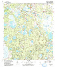
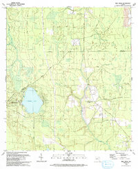
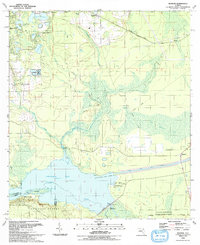
The Saint Johns River carves a winding path through this Putnam County landscape, defining the boundaries of massive riverine features like Murphy Island and Stokes Island. Along its eastern banks, the historical communities of Satsuma, Buffalo Bluff, and Nashua reflect the area’s longstanding connection to the river, with Satsuma Cem serving as a significant genealogical marker for the region. The map captures a complex network of waterways and wetlands, including the Cross Florida Barge Canal and several inland lakes like Saratoga Lake and Lake Myra.
Find a feature on this map
57 named features on this map. Tap any name to fly to it.
Don’t see what you’re looking for? This feature index may not catch every label — zoom into the map to look around manually.
Map Details
Editions of this 2024 Satsuma Map
This is the sole edition of this map. No revisions or reprints were ever made.
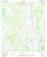
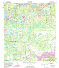
Historical Maps of Nashua Through Time
23 maps found
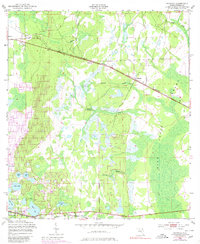
1949 Baywood
Putnam County, FL
1949 Bostwick
Putnam County, FL
1949 Keuka
Putnam County, FL
1949 Putnam Hall
Putnam County, FL
1949 Rice Creek
Putnam County, FL
1949 Rodman
Putnam County, FL
1968 San Mateo
Putnam County, FL
1968 Satsuma
Putnam County, FL
1981 Saint Augustine
Putnam County, FL
1991 Bostwick
Putnam County, FL
1993 Baywood
Putnam County, FL
1993 Keuka
Putnam County, FL
1993 Putnam Hall
Putnam County, FL
1993 Rice Creek
Putnam County, FL
1993 Rodman
Putnam County, FL
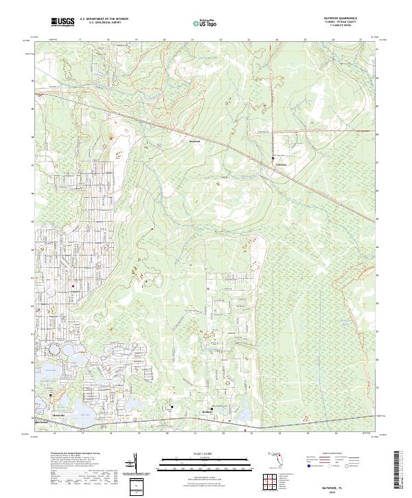
2024 Baywood
Putnam County, FL
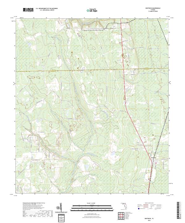
2024 Bostwick
Putnam County, FL
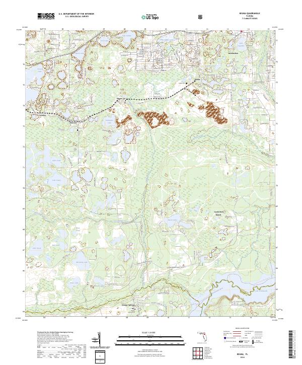
2024 Keuka
Putnam County, FL
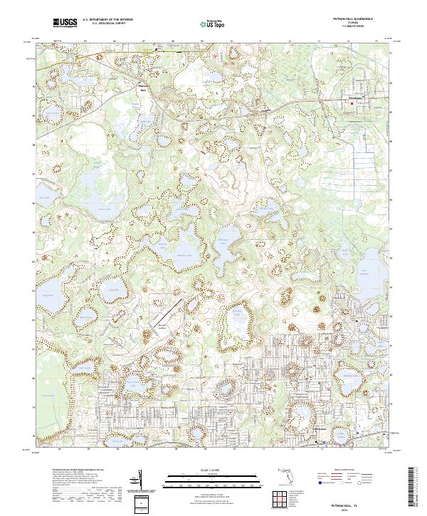
2024 Putnam Hall
Putnam County, FL
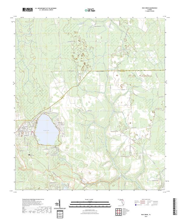
2024 Rice Creek
Putnam County, FL
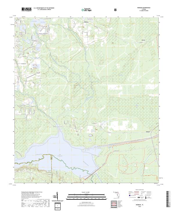
2024 Rodman
Putnam County, FL
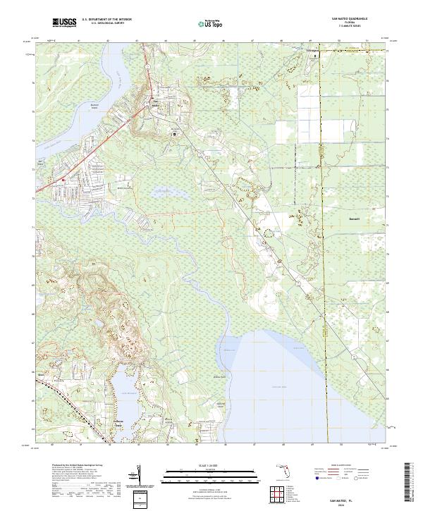
2024 San Mateo
Putnam County, FL
2024 Satsuma
Putnam County, FL