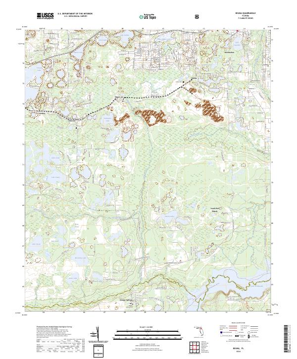
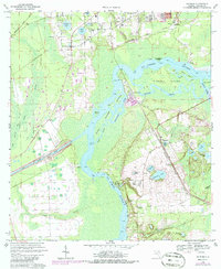
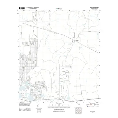
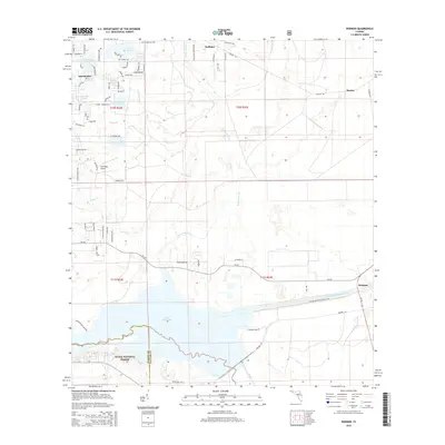
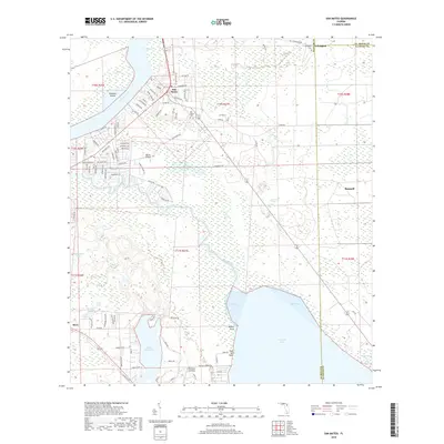
2024 Map of Keuka
USGS Topo · Published 2024About this map
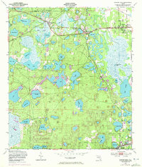
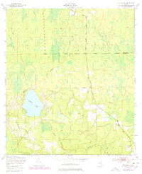
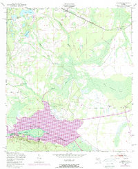
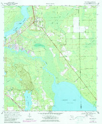
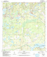
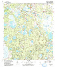
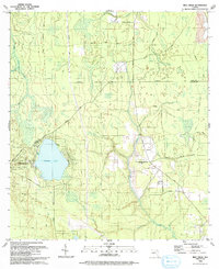
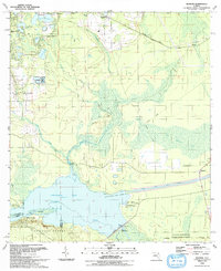
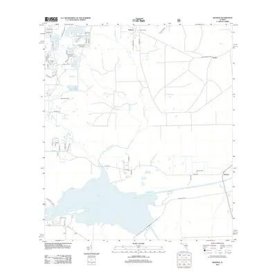
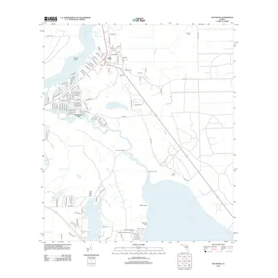
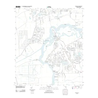
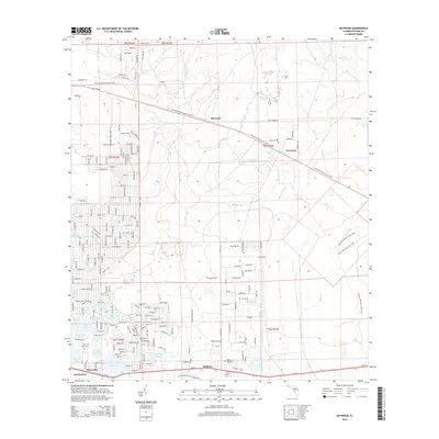
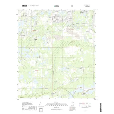
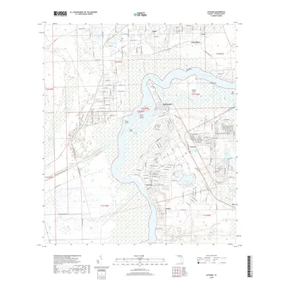
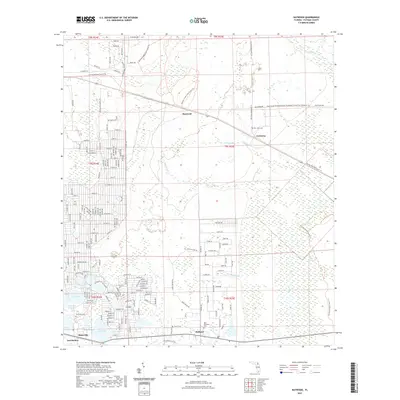
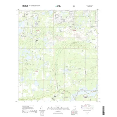
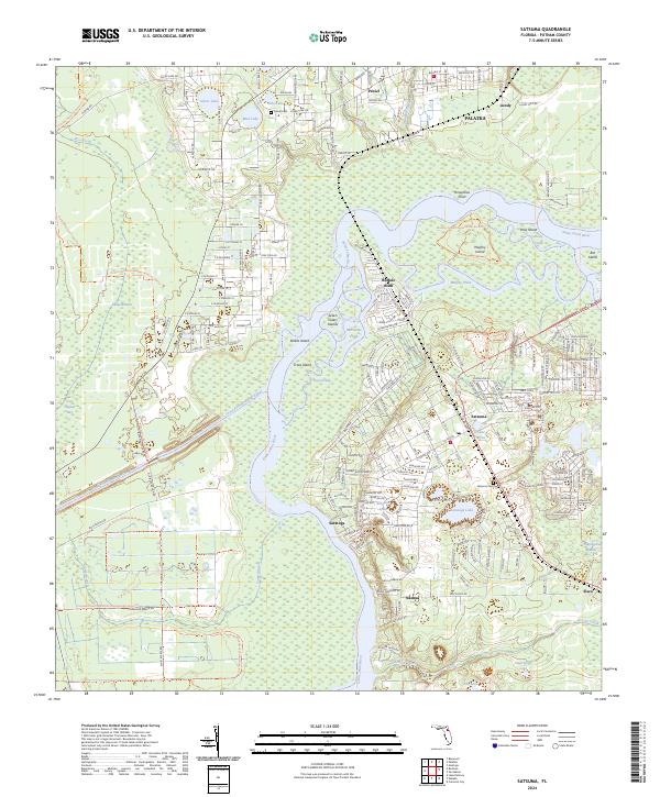
Interlachen anchors the northern portion of this landscape, where a dense network of streets named after international locations like Switzerland St and Norway St surrounds a cluster of water bodies including Lake Galilee and Crystal Lake. The terrain transitions southward into more open lands and wetlands, punctuated by the small settlements of Keuka, Edgar, and Johnson. The southern boundary is defined by the Ocklawaha River and the expansive Lake Ocklawaha, marking the northern edge of the Ocala National Forest. Genealogists will find several local burial sites documented, such as Keuka Cem, Johnson Cem, and Orange Springs Cem near the Marion County line. This area illustrates the persistence of small North Florida communities amidst a complex hydrology of ponds and creeks like Deep Creek and Orange Creek, which have shaped the local road and settlement patterns for generations.
Find a feature on this map
108 named features on this map. Tap any name to fly to it.
Don’t see what you’re looking for? This feature index may not catch every label — zoom into the map to look around manually.
Map Details
Editions of this 2024 Keuka Map
This is the sole edition of this map. No revisions or reprints were ever made.
Historical Maps of Interlachen Through Time
55 maps found
1949 Baywood
Putnam County, FL
1949 Bostwick
Putnam County, FL
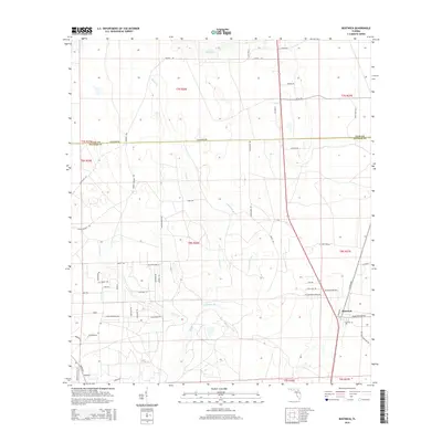
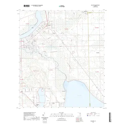
1949 Keuka
Putnam County, FL
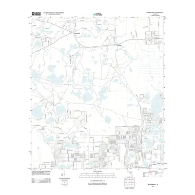
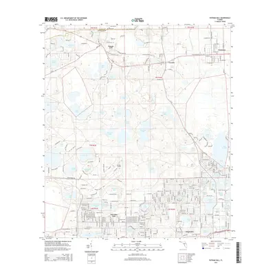
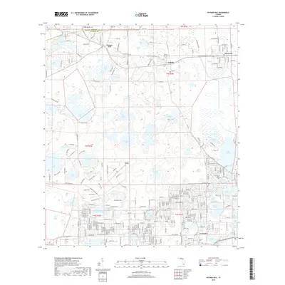
1949 Putnam Hall
Putnam County, FL
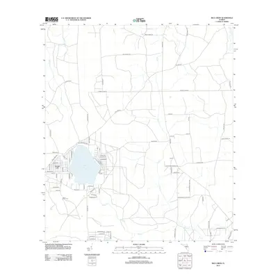
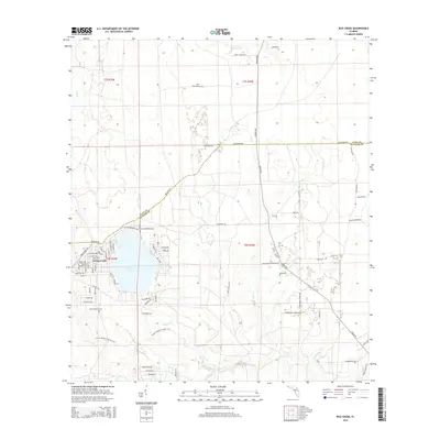
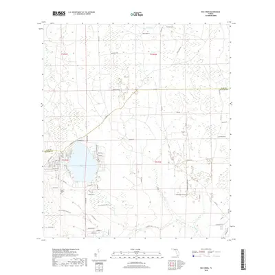
1949 Rice Creek
Putnam County, FL
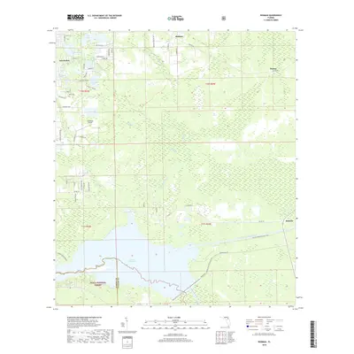
1949 Rodman
Putnam County, FL
1968 San Mateo
Putnam County, FL
1968 Satsuma
Putnam County, FL
1981 Saint Augustine
Putnam County, FL
1991 Bostwick
Putnam County, FL
1993 Baywood
Putnam County, FL
1993 Keuka
Putnam County, FL
1993 Putnam Hall
Putnam County, FL
1993 Rice Creek
Putnam County, FL
1993 Rodman
Putnam County, FL
2012 Baywood
Putnam County, FL

2012 Bostwick
Putnam County, FL
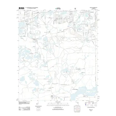
2012 Keuka
Putnam County, FL
2012 Putnam Hall
Putnam County, FL
2012 Rice Creek
Putnam County, FL
2012 Rodman
Putnam County, FL
2012 San Mateo
Putnam County, FL
2012 Satsuma
Putnam County, FL
2015 Baywood
Putnam County, FL
2015 Bostwick
Putnam County, FL
2015 Keuka
Putnam County, FL
2015 Putnam Hall
Putnam County, FL
2015 Rice Creek
Putnam County, FL
2015 Rodman
Putnam County, FL
2015 San Mateo
Putnam County, FL
2015 Satsuma
Putnam County, FL
2018 Baywood
Putnam County, FL

2018 Bostwick
Putnam County, FL
2018 Keuka
Putnam County, FL
2018 Putnam Hall
Putnam County, FL
2018 Rice Creek
Putnam County, FL
2018 Rodman
Putnam County, FL
2018 San Mateo
Putnam County, FL
2018 Satsuma
Putnam County, FL
2021 Baywood
Putnam County, FL
2021 Bostwick
Putnam County, FL
2021 Keuka
Putnam County, FL
2021 Putnam Hall
Putnam County, FL
2021 Rice Creek
Putnam County, FL
2021 Rodman
Putnam County, FL
2021 San Mateo
Putnam County, FL
2021 Satsuma
Putnam County, FL
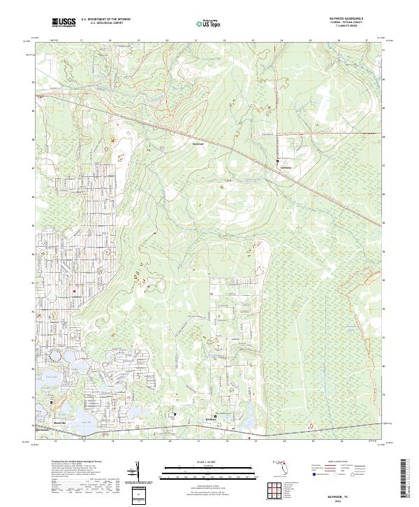
2024 Baywood
Putnam County, FL
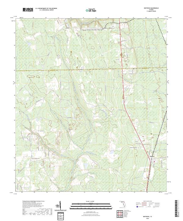
2024 Bostwick
Putnam County, FL
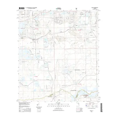
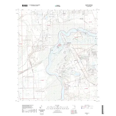
2024 Keuka
Putnam County, FL
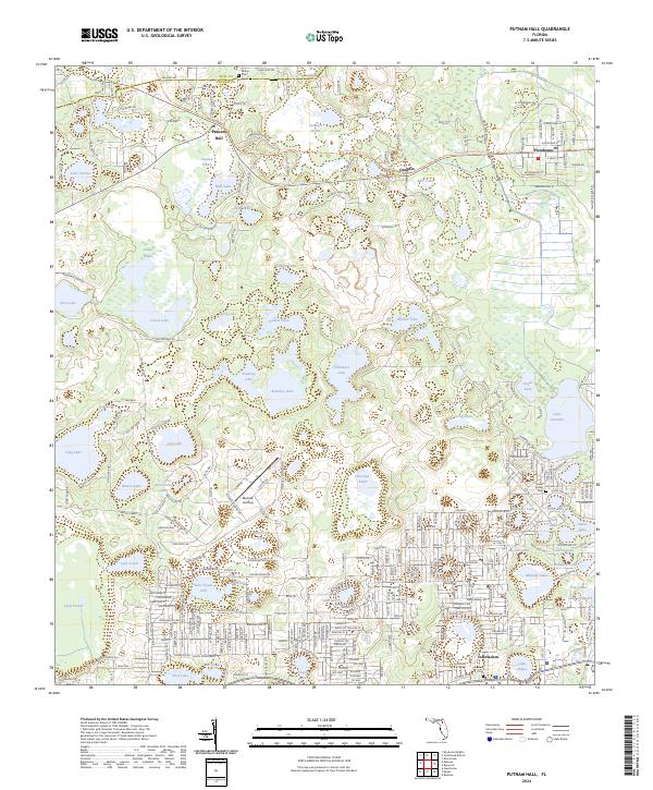
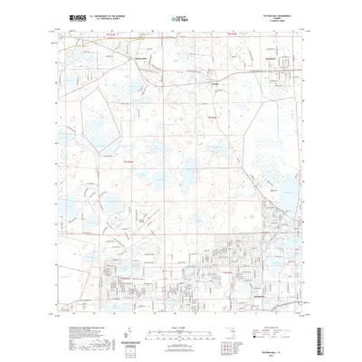
2024 Putnam Hall
Putnam County, FL
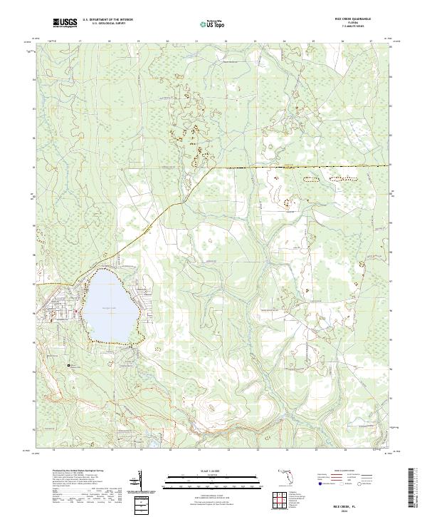
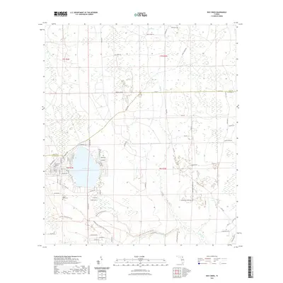
2024 Rice Creek
Putnam County, FL
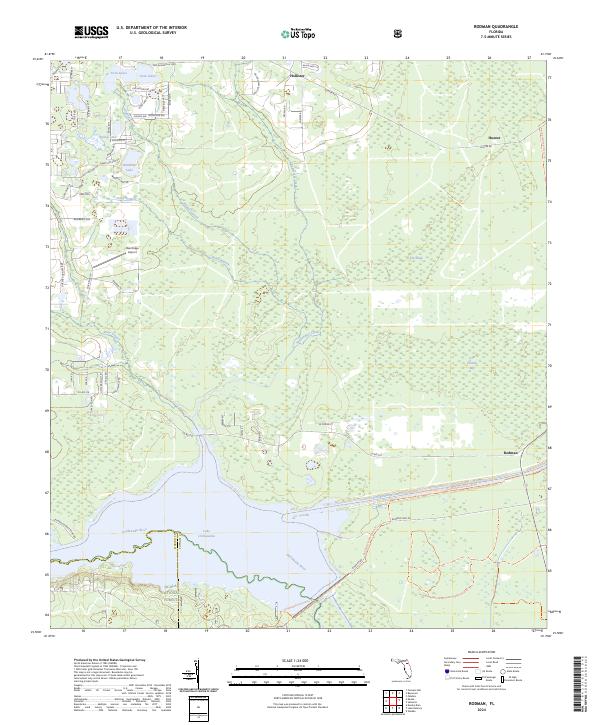
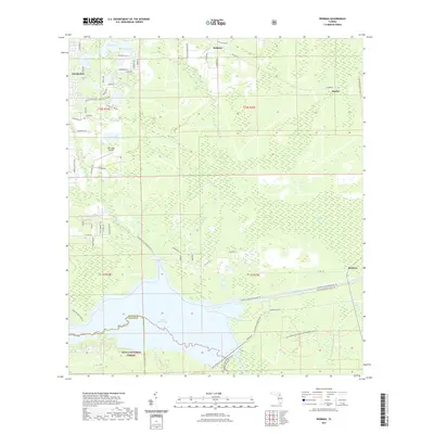
2024 Rodman
Putnam County, FL
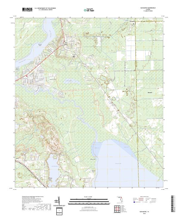
2024 San Mateo
Putnam County, FL
2024 Satsuma
Putnam County, FL