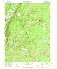
1968 Map of Saxton
USGS Topo · Published 1974About this map
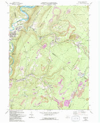
The Raystown Branch Juniata River carves the northwestern edge of this landscape, where the settlement of Saxton and its neighboring hamlets of East Saxton and Puttstown are established. Moving eastward, the terrain rises sharply into the coal-bearing ridges of the Broad Top region. This map illustrates a landscape heavily defined by extractive industry, with numerous strip mines and mine workings surrounding towns like Dudley, Coalmont, and Broad Top City.
Find a feature on this map
60 named features on this map. Tap any name to fly to it.
Don’t see what you’re looking for? This feature index may not catch every label — zoom into the map to look around manually.
Map Details
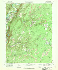
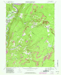
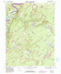
Editions of this 1968 Saxton Map
5 editions found
Other maps of this area

1900 · Everett
USGS Topo · 1:62,500

1901 · Huntingdon
USGS Topo · 1:62,500

1902 · Everett
USGS Topo · 1:62,500

1902 · Hollidaysburg
USGS Topo · 1:62,500

1903 · Hollidaysburg
USGS Topo · 1:62,500

1904 · Huntingdon
USGS Topo · 1:62,500

1930 · Broad Top
USGS Topo · 1:62,500

1933 · Broad Top
USGS Topo · 1:62,500

1953 · Pittsburgh
USGS Topo · 1:250,000

1954 · Pittsburgh
USGS Topo · 1:250,000